Return to the The Orkney Islands

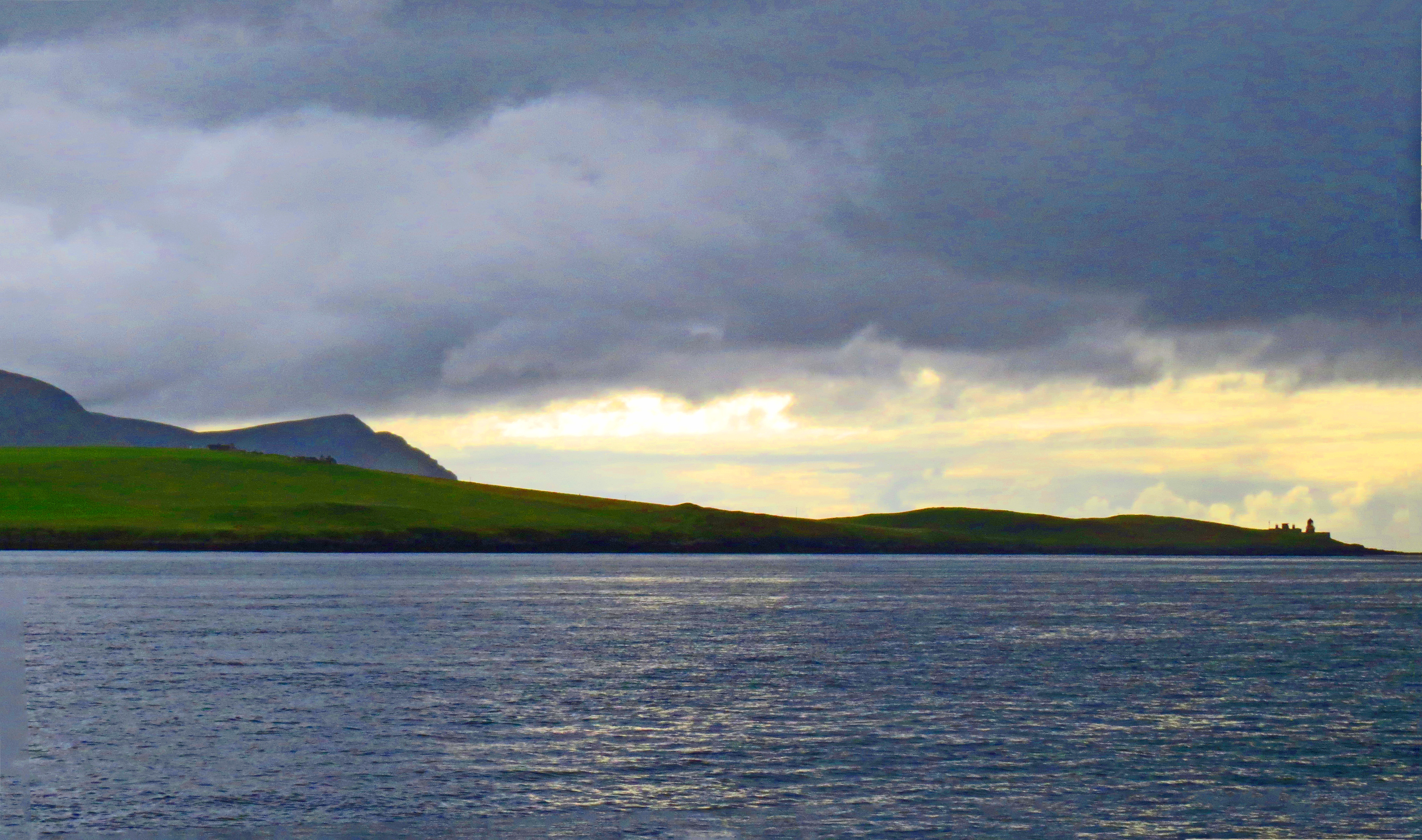
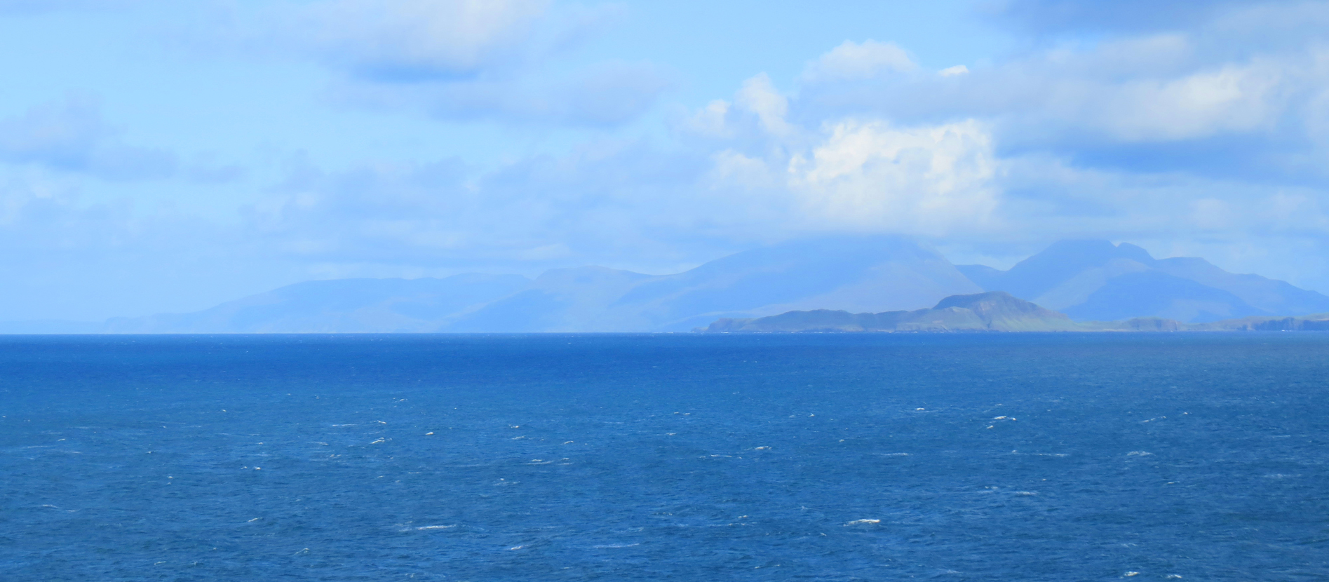
Hoy from Stromness
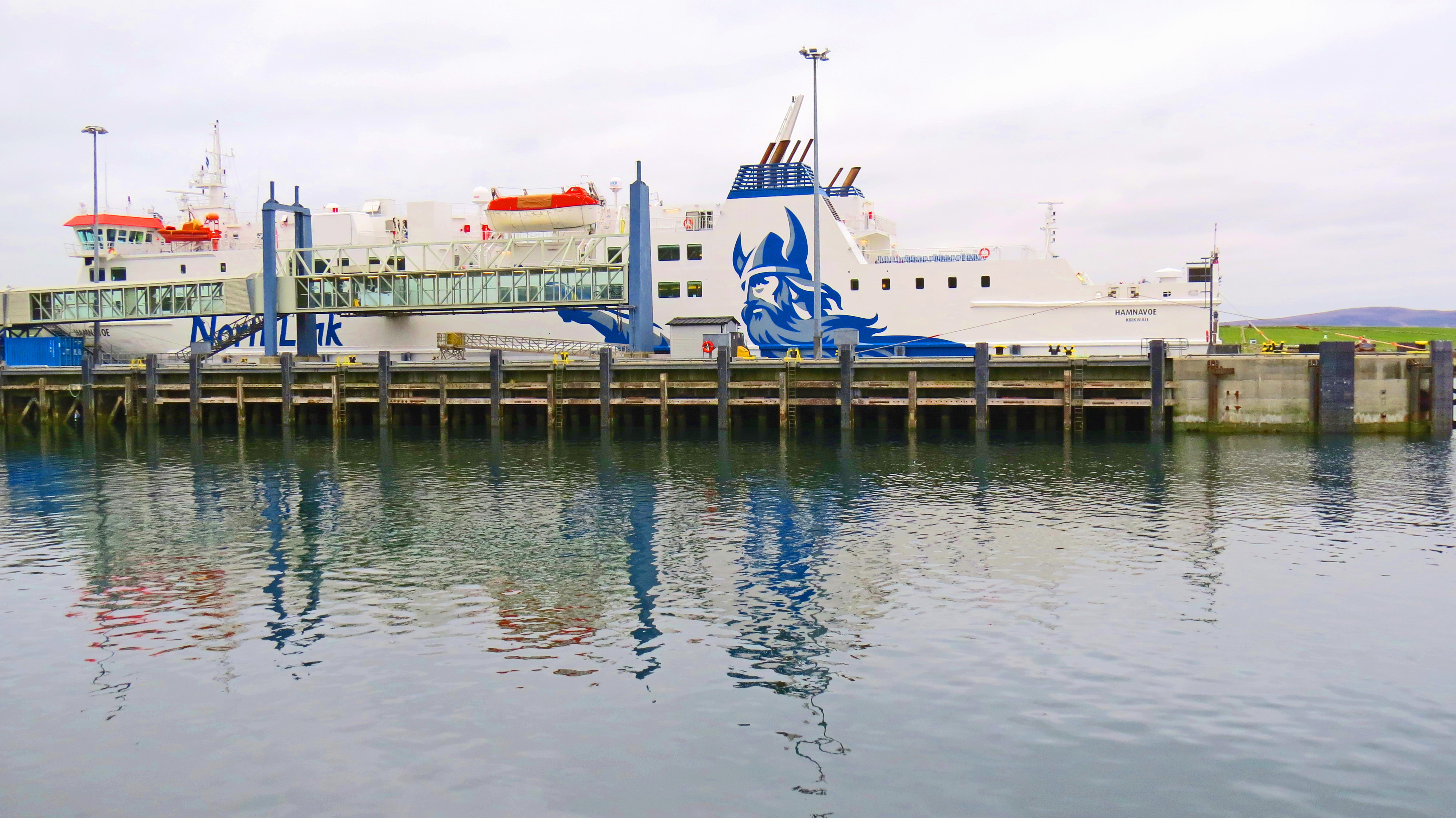
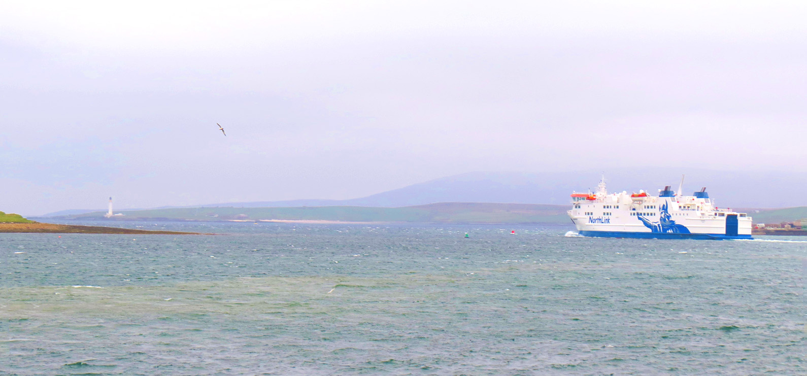
Dusk was turning to dark when I began my second stay on the Orkney Islands. From what I had learned on my previous May visit, I knew, as I alighted from the NorthLink Ferry in Stromness, that I was, once again, entering a fascinating world of alternative time. The Orkney Islands exist in an other-worldly time zone all their own.
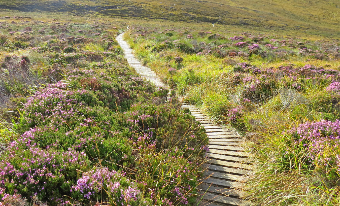
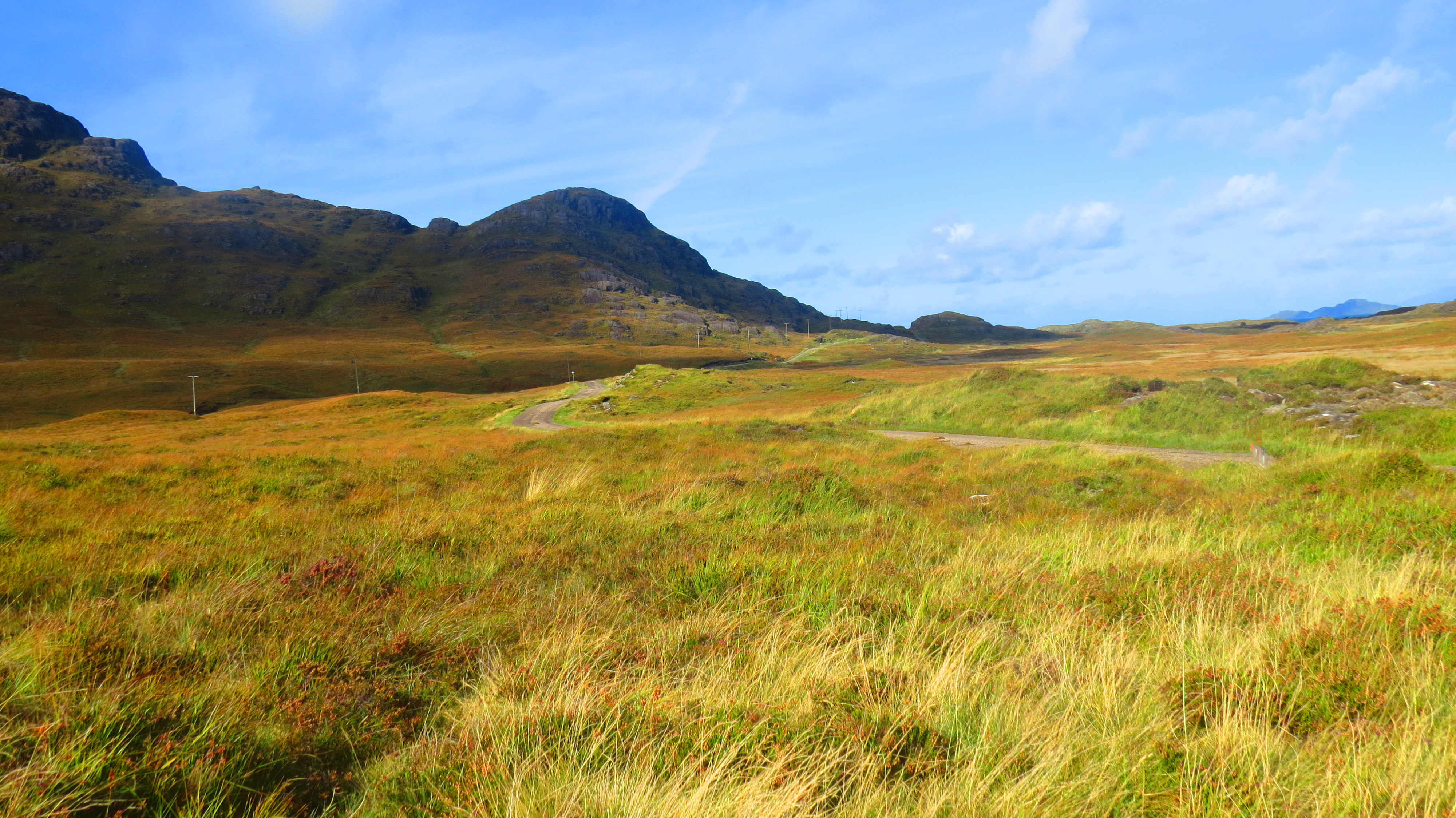
Heather on Hoy Island
Time here feels accumulated rather than spent. Where we go; what we do; and why; all add to the story with no beginning and no end. It is more than the physical evidence everywhere in the form of ancient dwellings and megaliths. It is an awareness, a feeling of oneness with the communities gone before – tens; hundreds; thousands of years ago, back to these islands’ first inhabitants. We become a tiny thread being woven into the fabric of this captivating place.
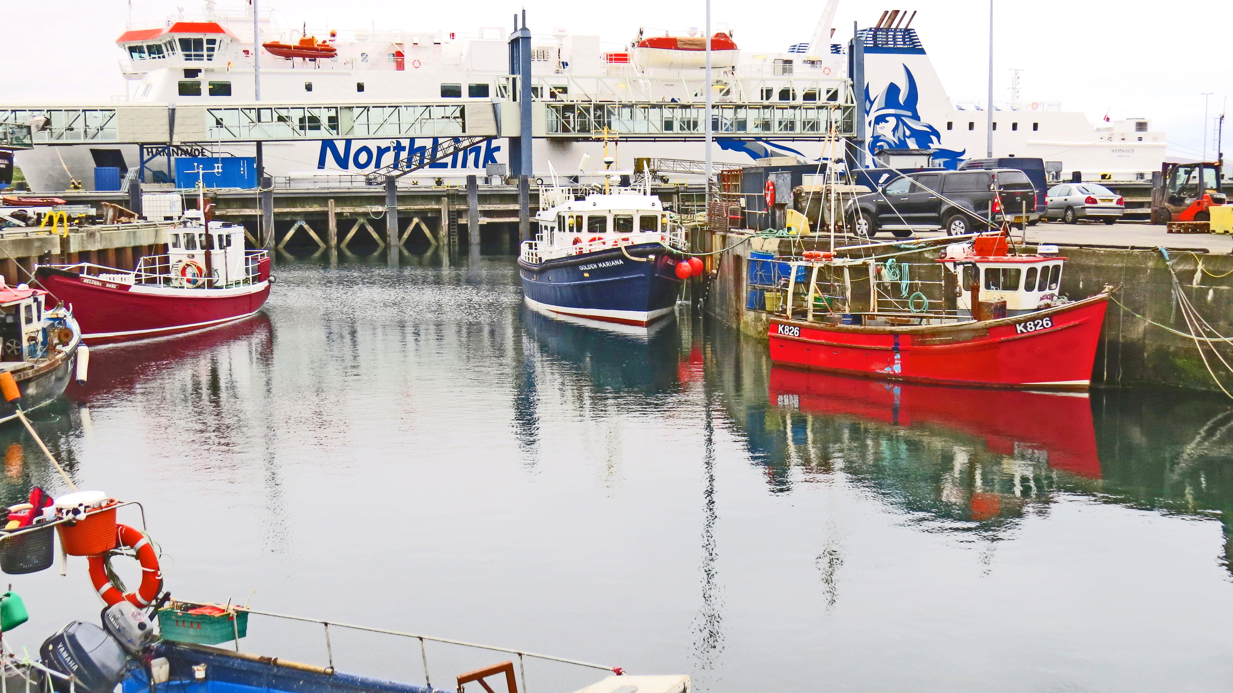
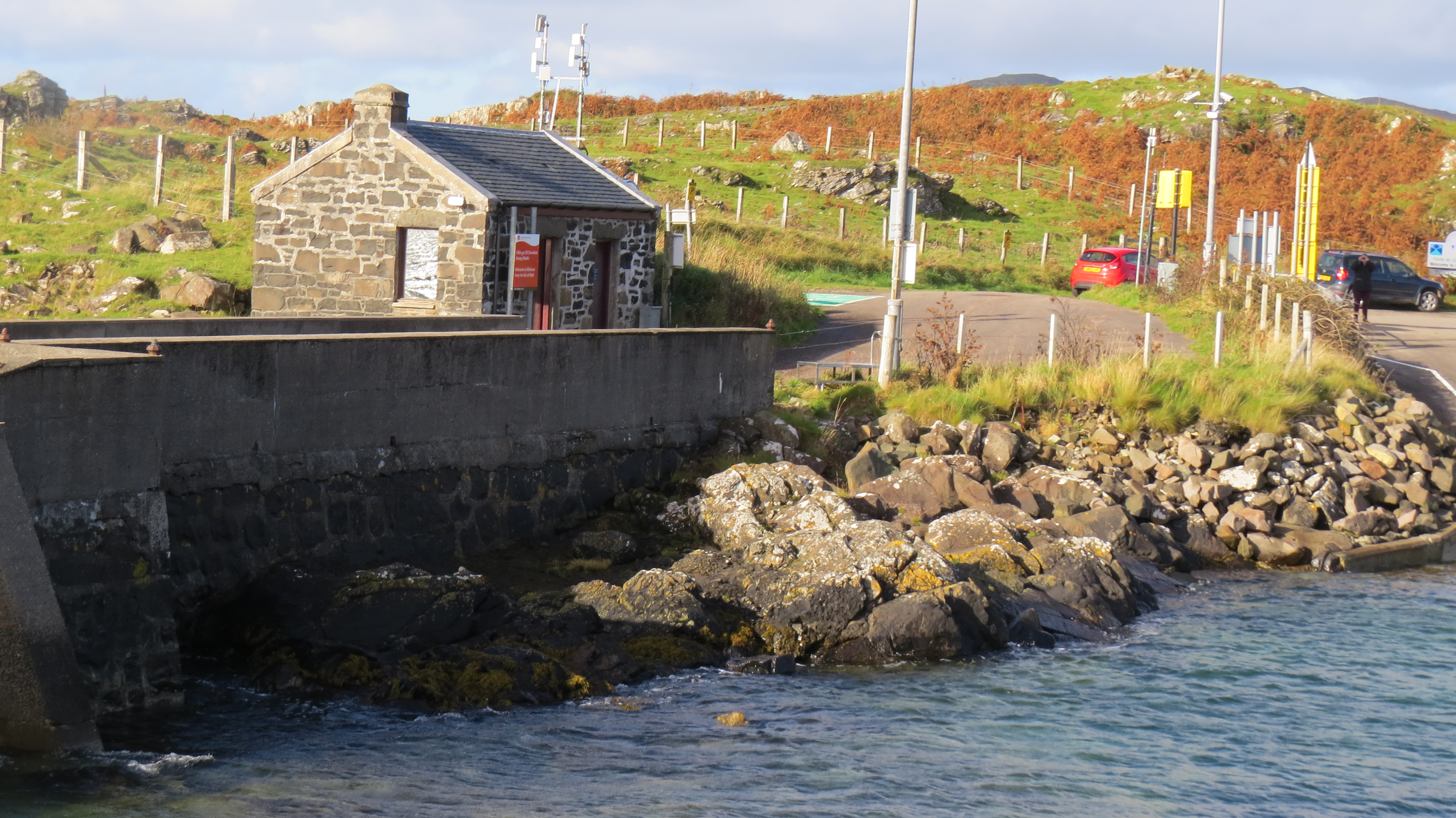
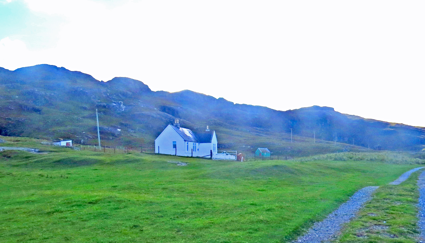
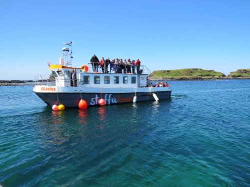
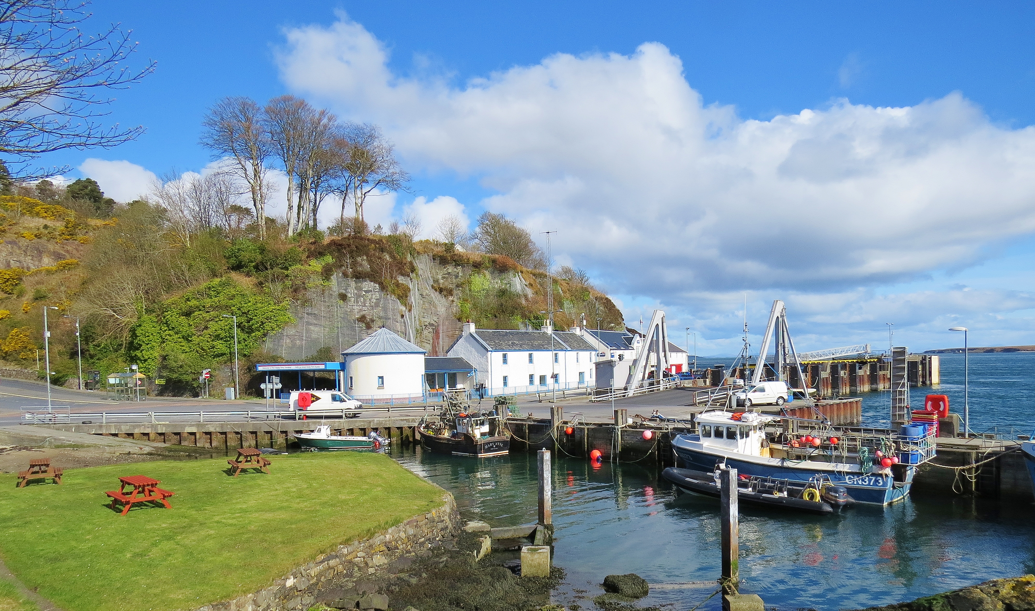
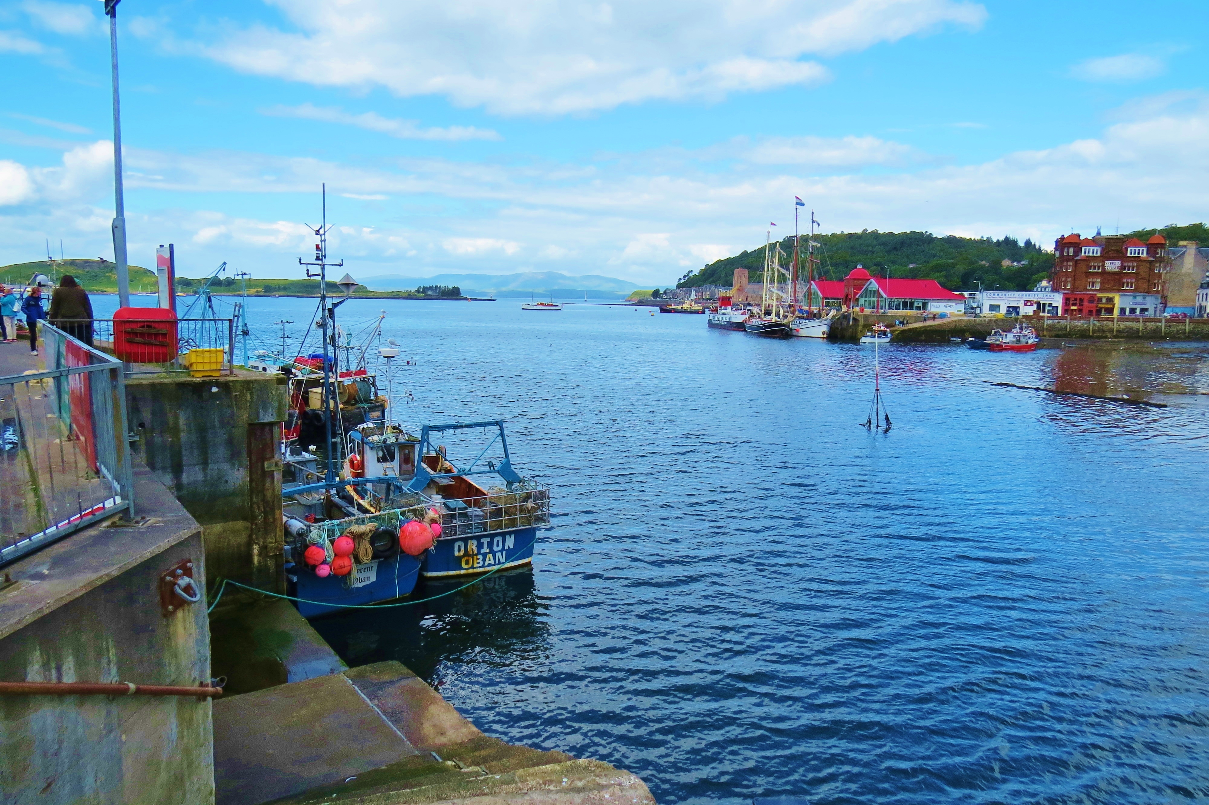
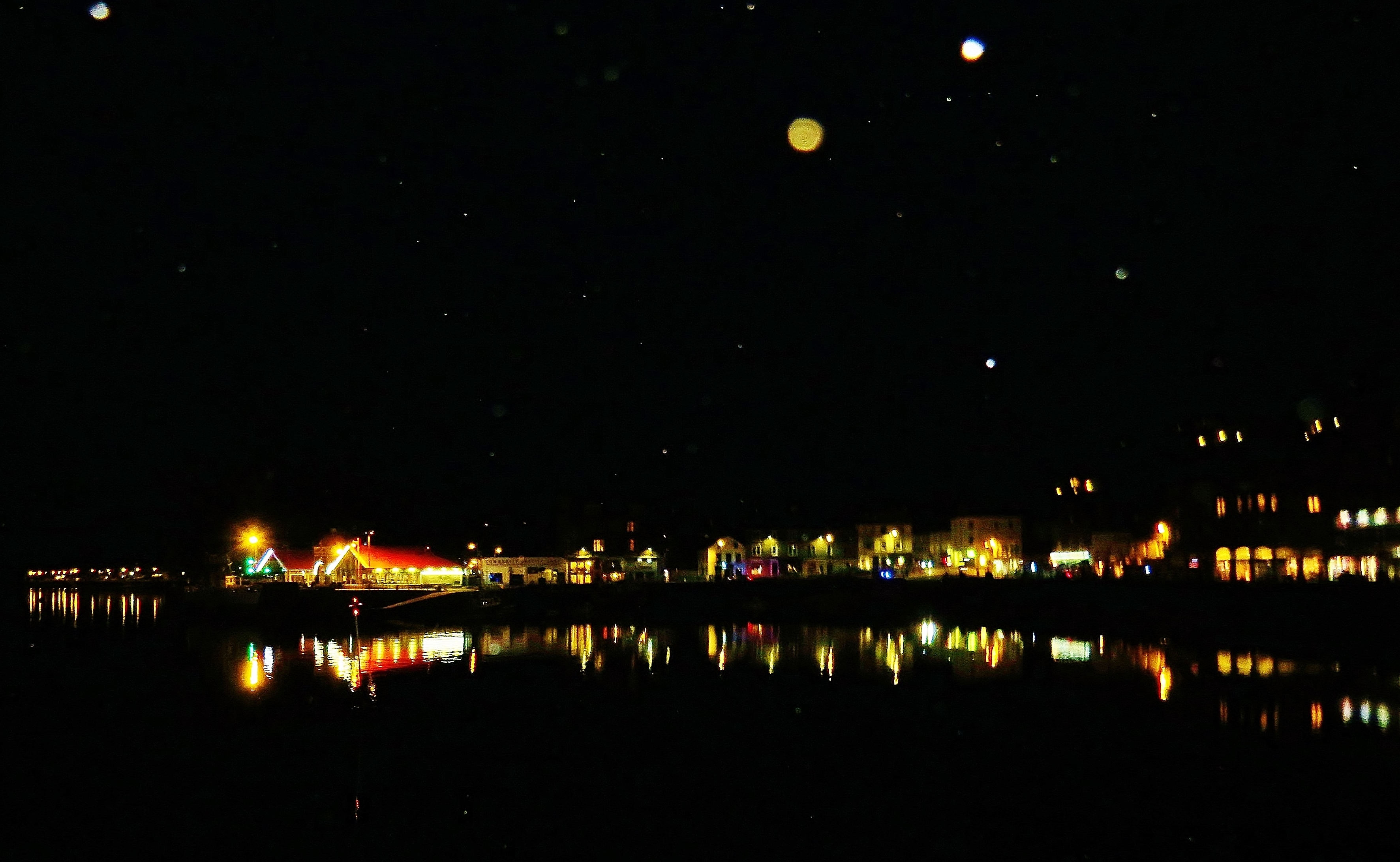
Stromness Harbour
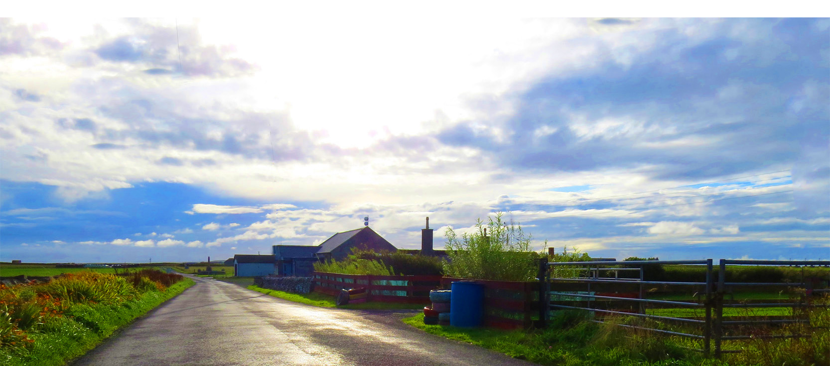
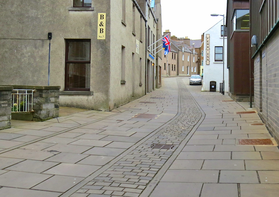
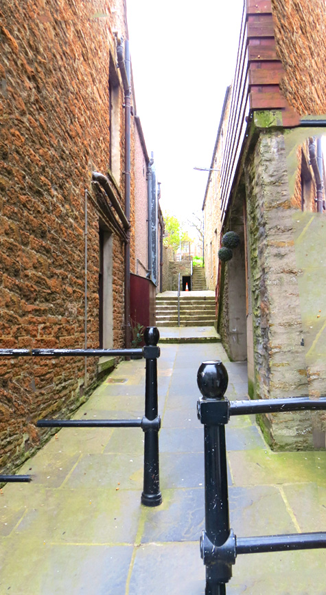
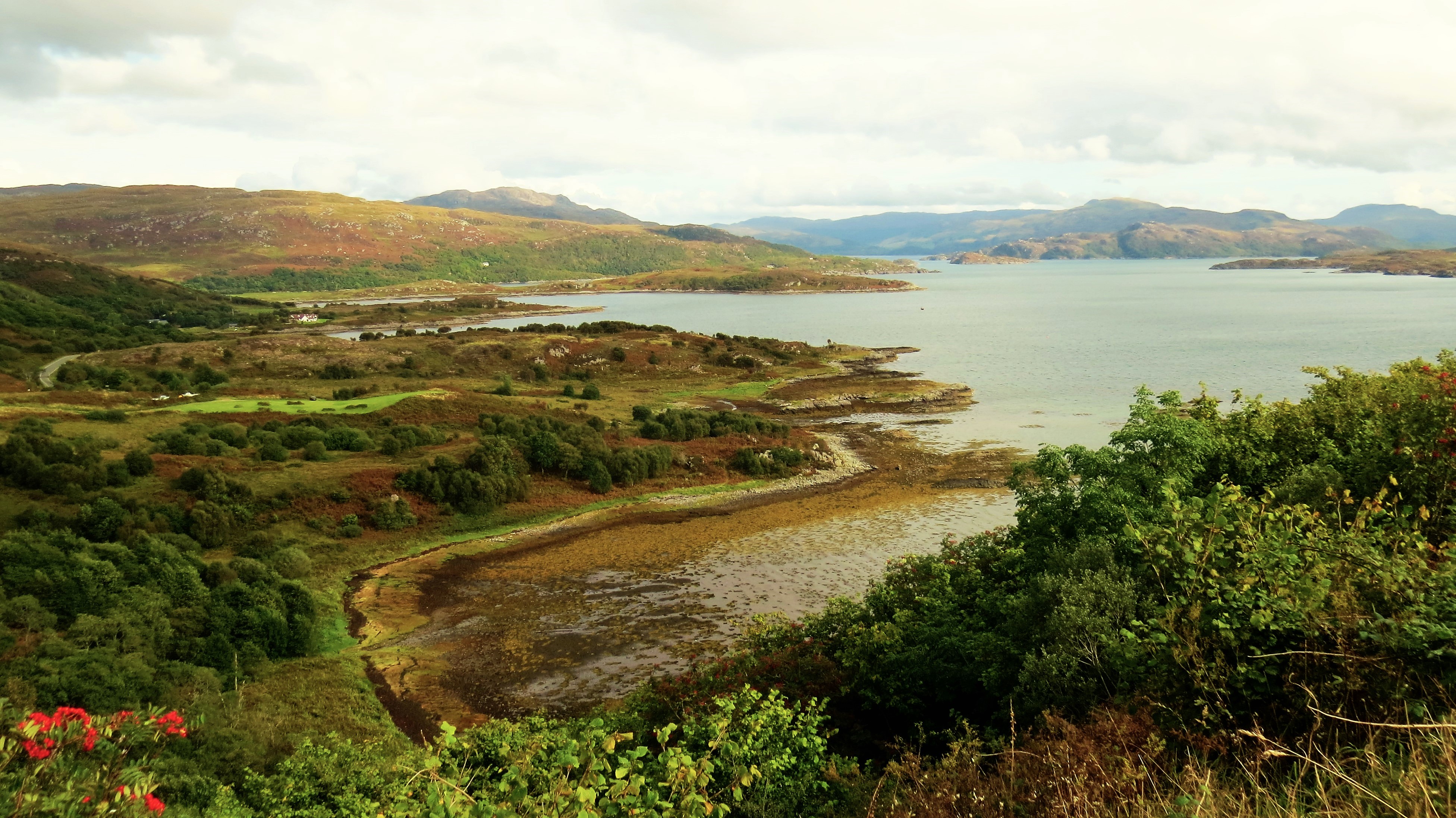
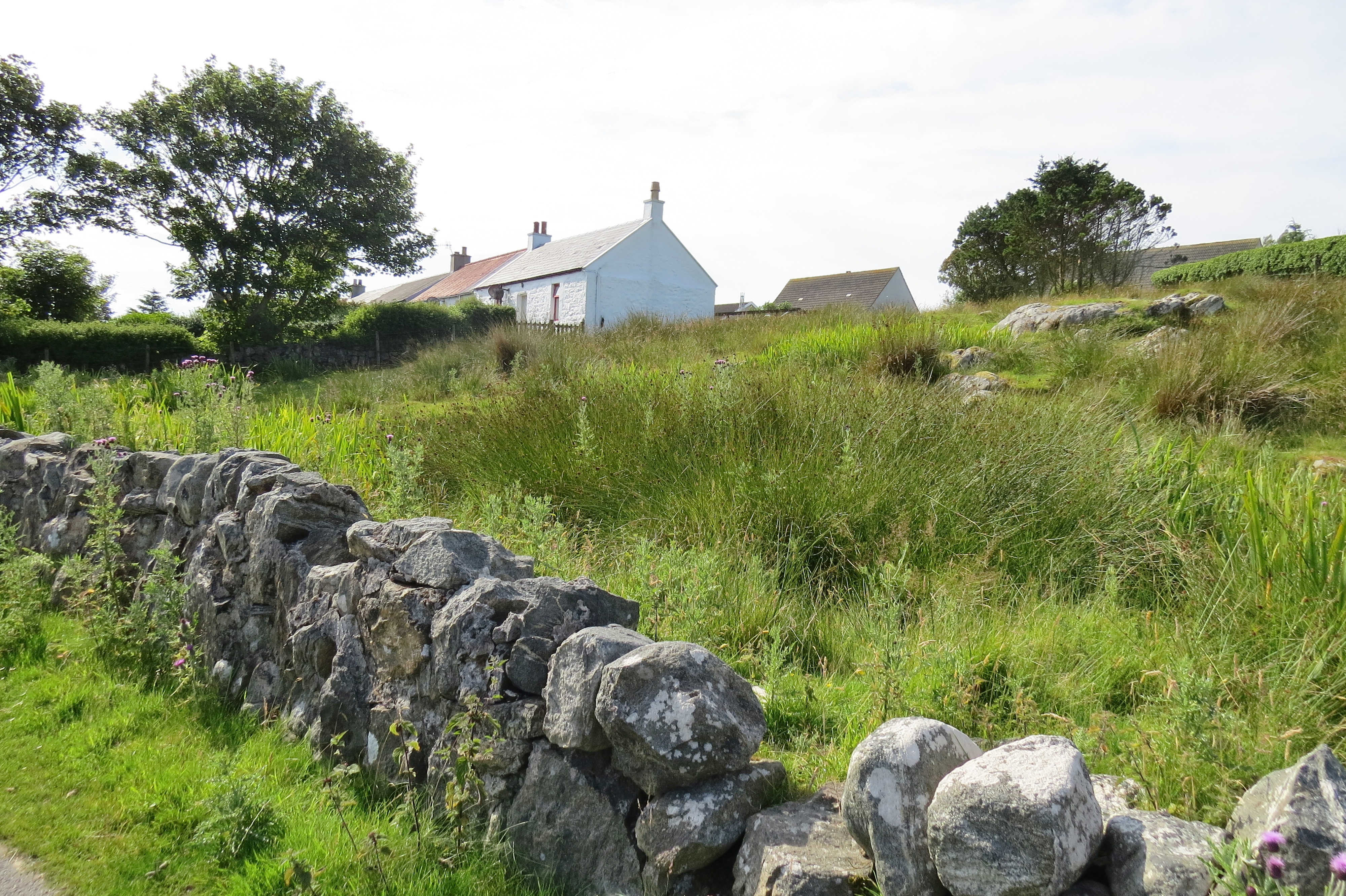
I once again stayed in Stromness. This charming, little harbour town (pop. 2,200) is the western link to mainland Scotland and the jumping off point for the rest of the Orkney Islands. Situated on Mainland, the largest of the 70 isles that make up this archipelago, Stromness gets its rhythm from the comings and goings of the giant NorthLink Ferry, the ‘Hamnavoe’, which constantly plies back and forth, carrying people and goods from far away places via mainland Scotland. Yet, for all this activity, there is nothing frenetic about Stromness. Instead, it exudes a quiet, laid back charm that belies the ‘busyness’.
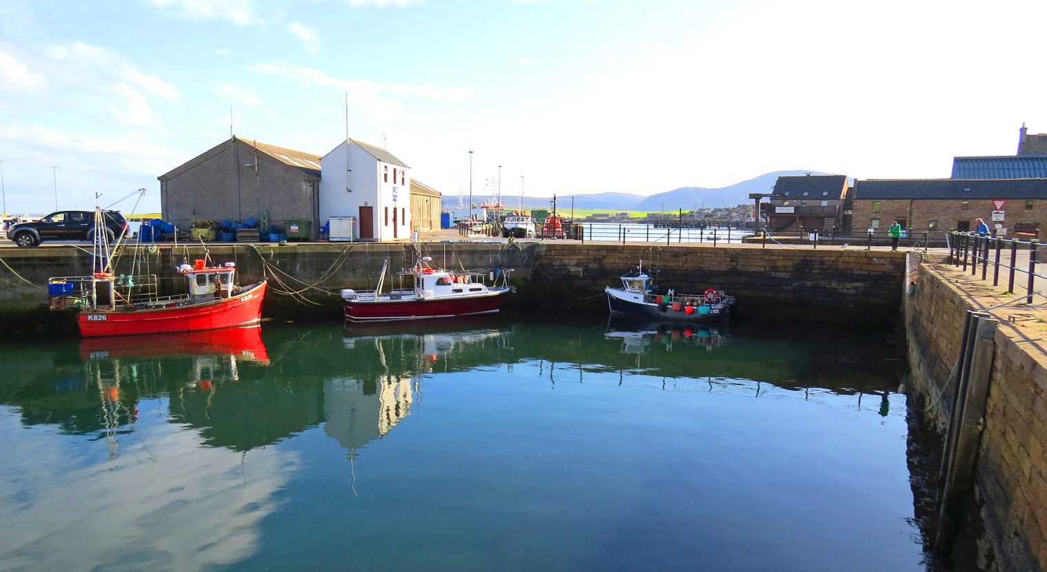
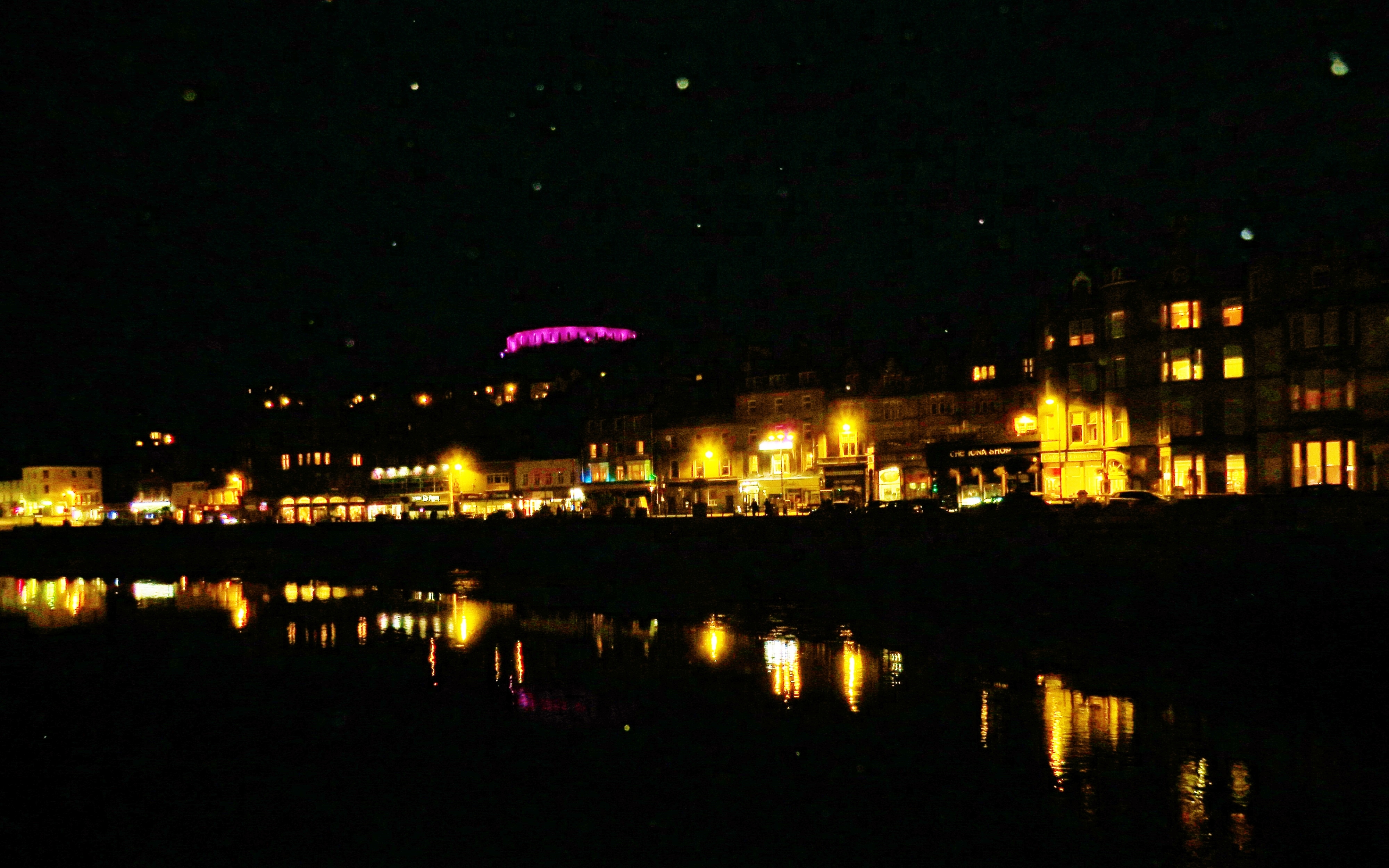
Stromness North Pier with Hoy Island in the background
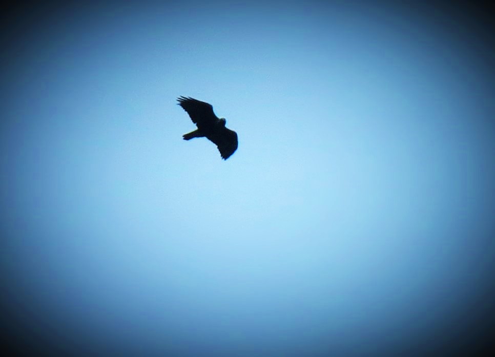
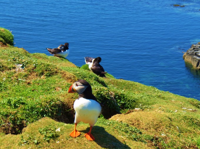
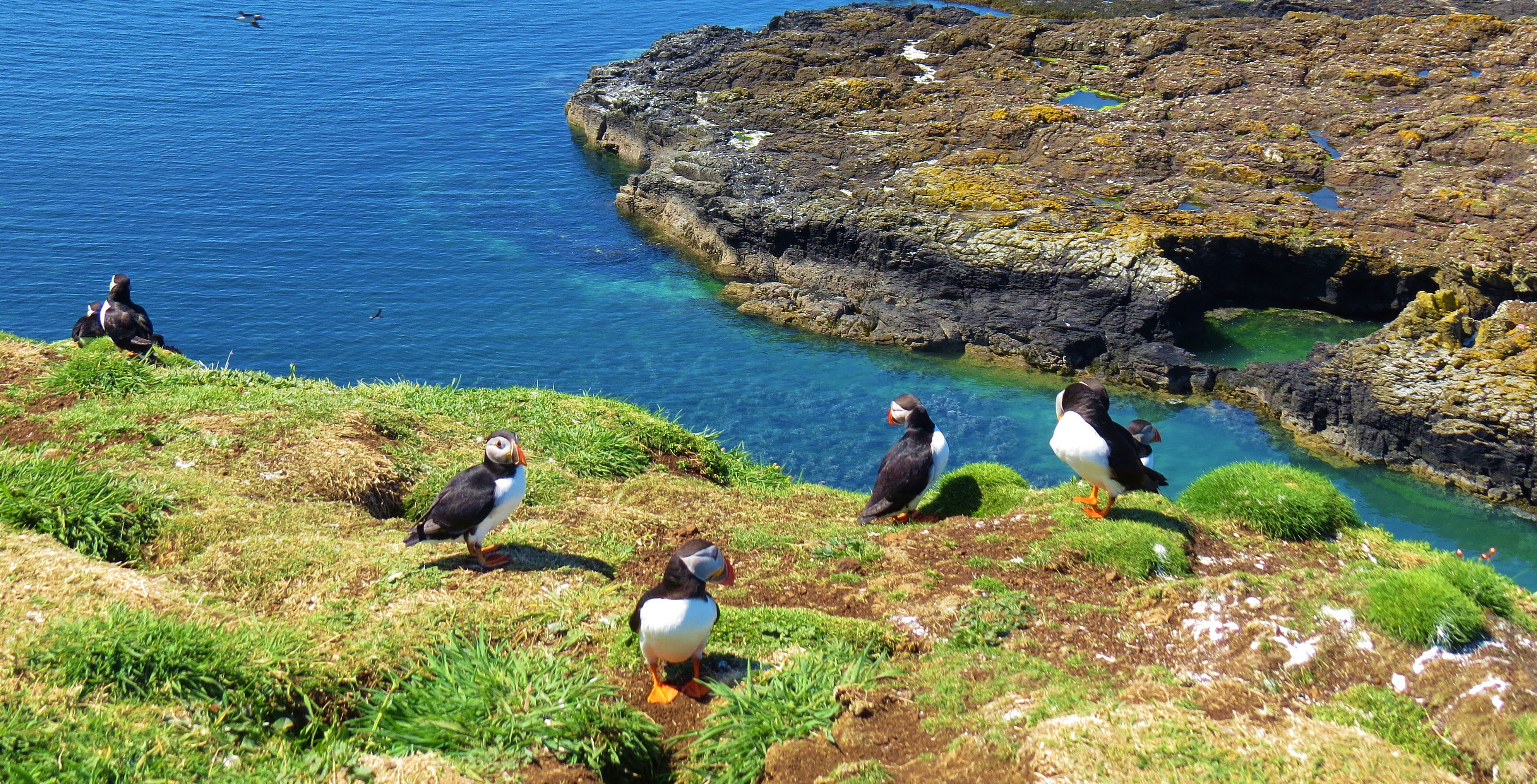
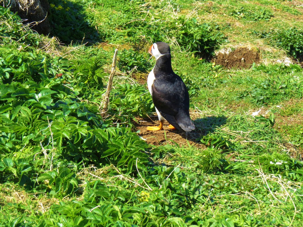
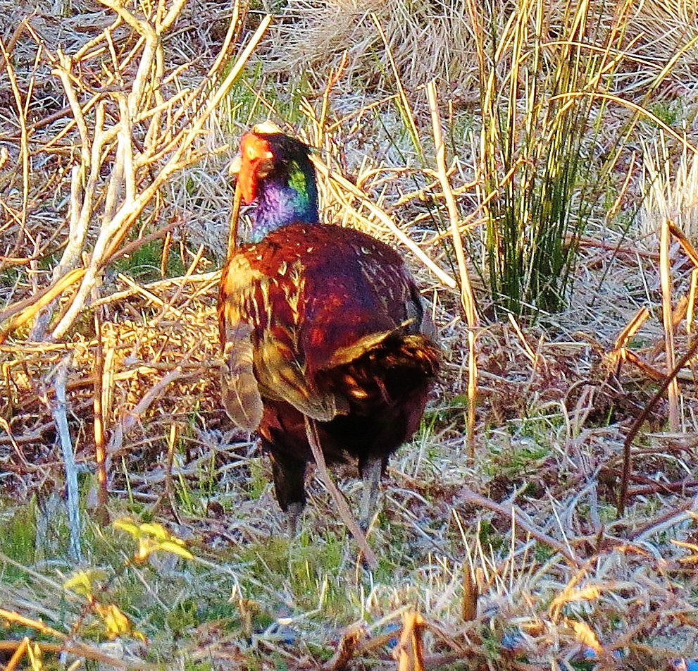
The pier pictured above is home to an unusual resident. ‘Donald’ is a bird of doubtful heritage, his like never having been seen before. He arrived there a year before my visit and decided to call Stromness North Pier his home. A harbour worker feeds him pellets from the supply he gives to his horses. A dish of water is also faithfully filled. As you can see from the photo, Donald thrives on this diet.
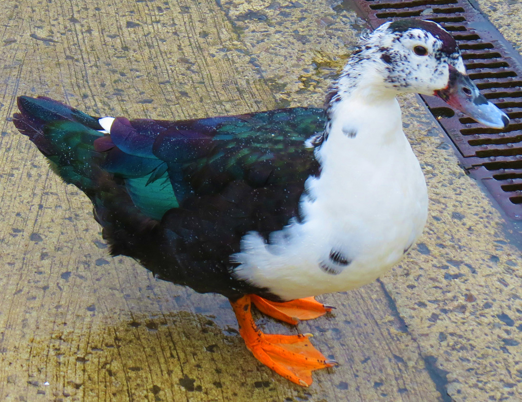
Donald
Amid the myriad of breathtaking ancient Neolithic archaeological sites and megaliths found on Mainland and throughout the Orkney islands, this strange-looking, loveable, one-of-a-kind, avian adds his own tiny bit of uniqueness to life in Sromness.
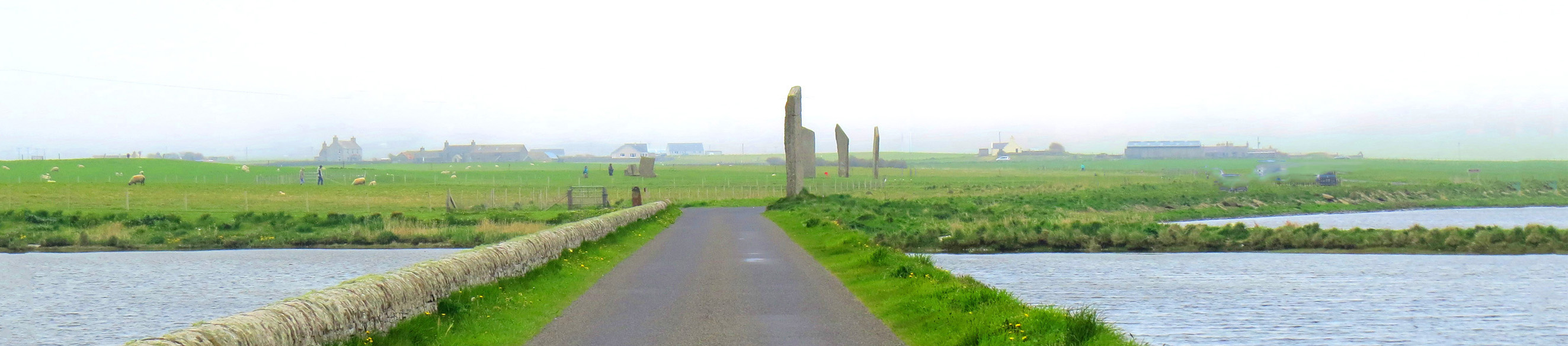
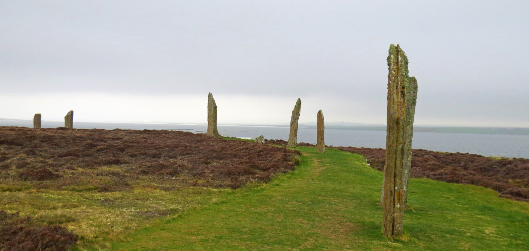
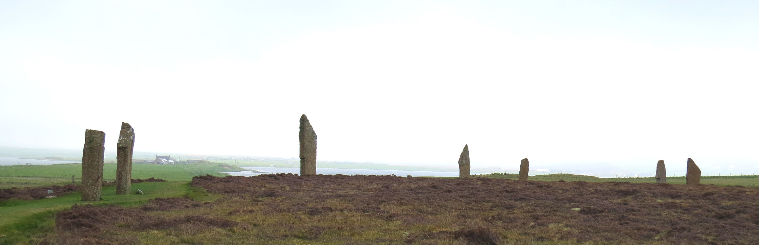
While on my last visit I explored some of the many ancient sites and megaliths on Mainland (See Joyful Journey: Part 17 for photos and text), this time, I took day trips to a couple of neighbouring islands.
HOY
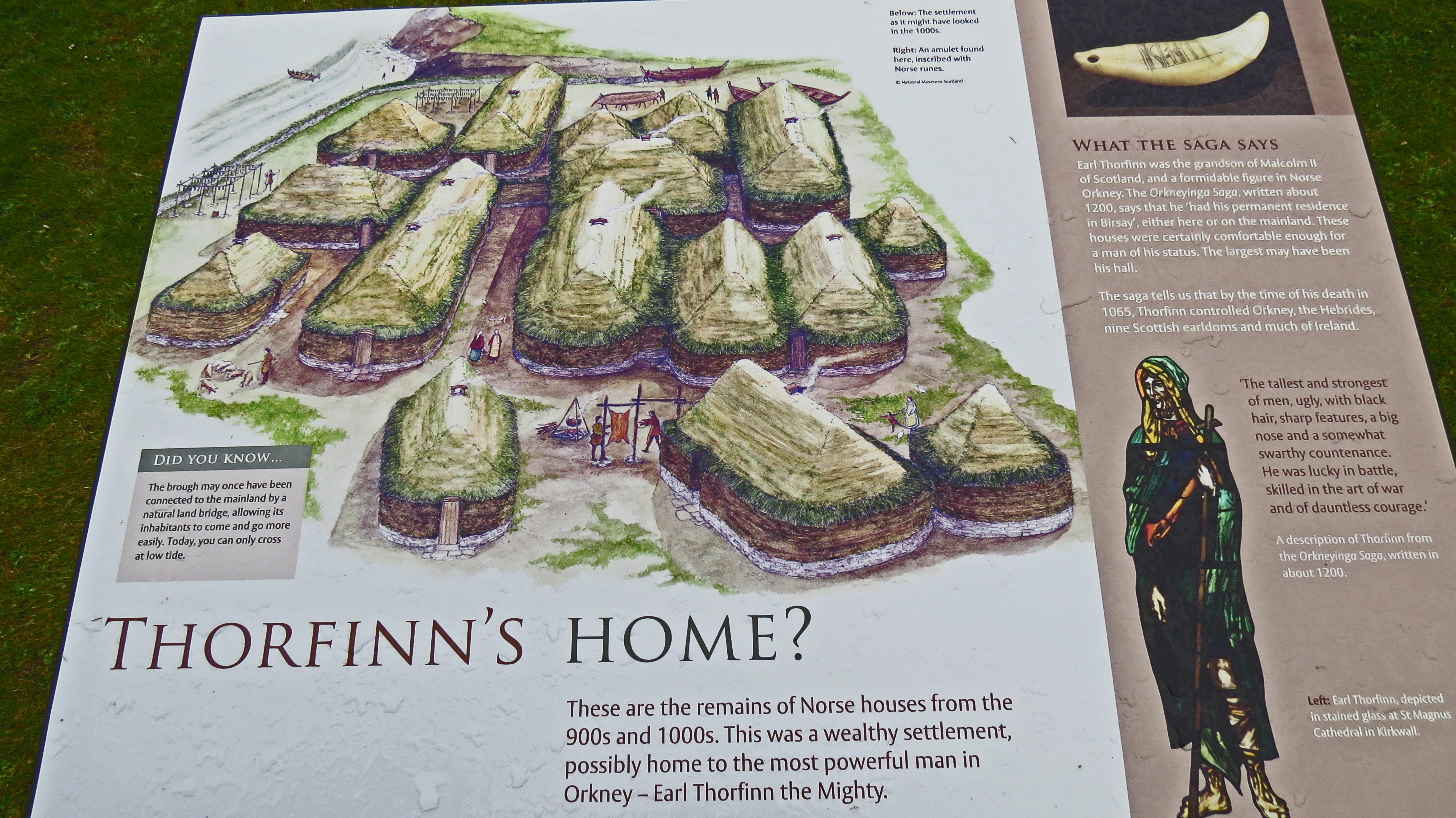
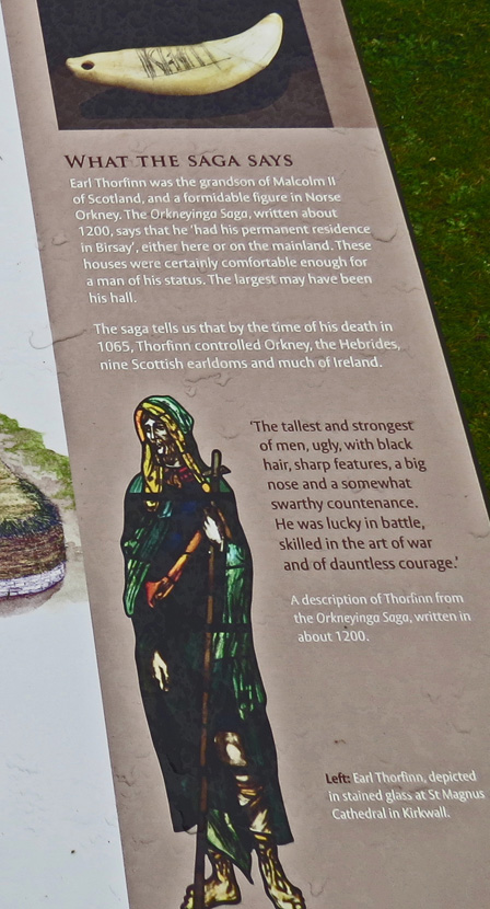
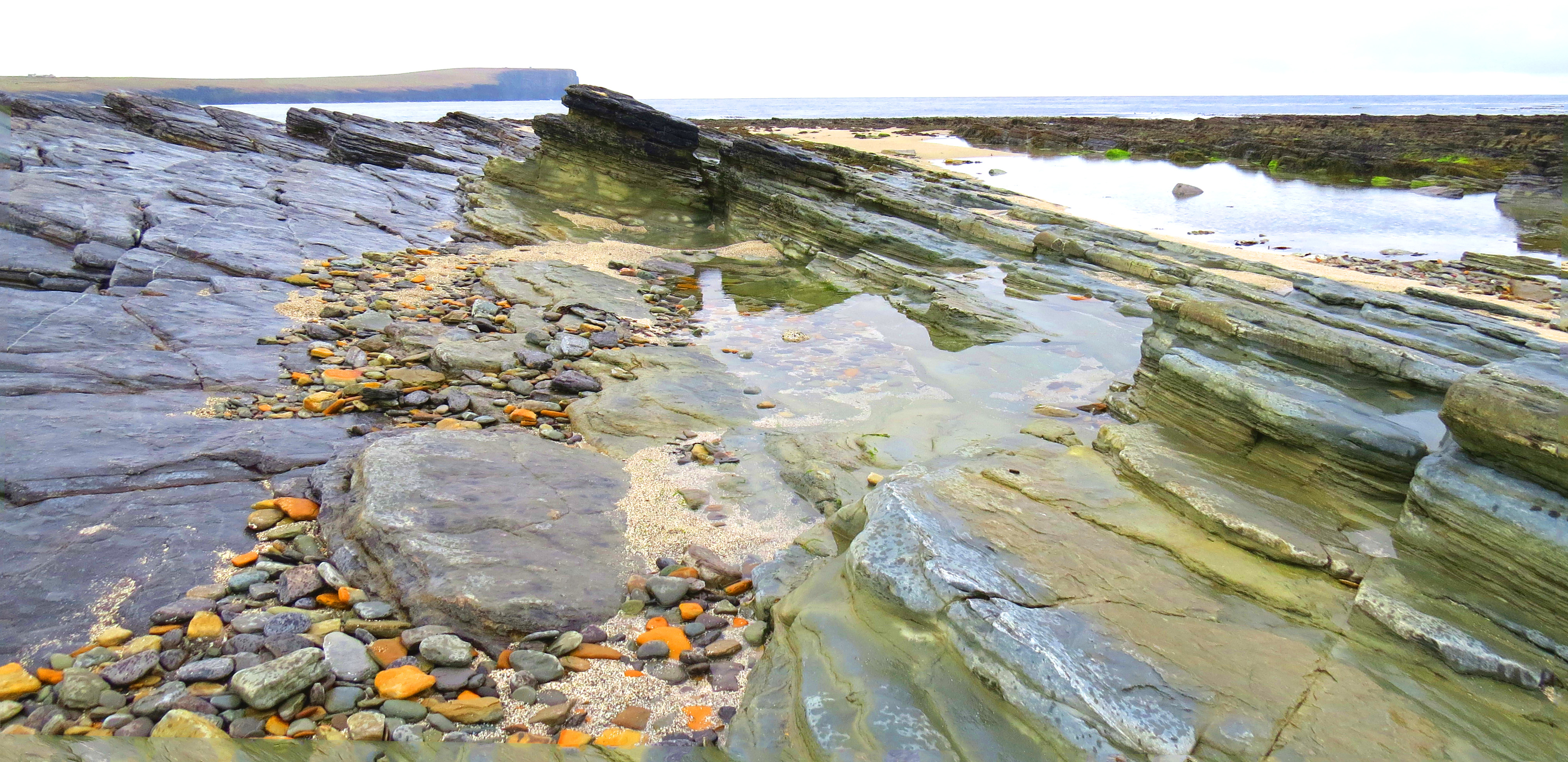
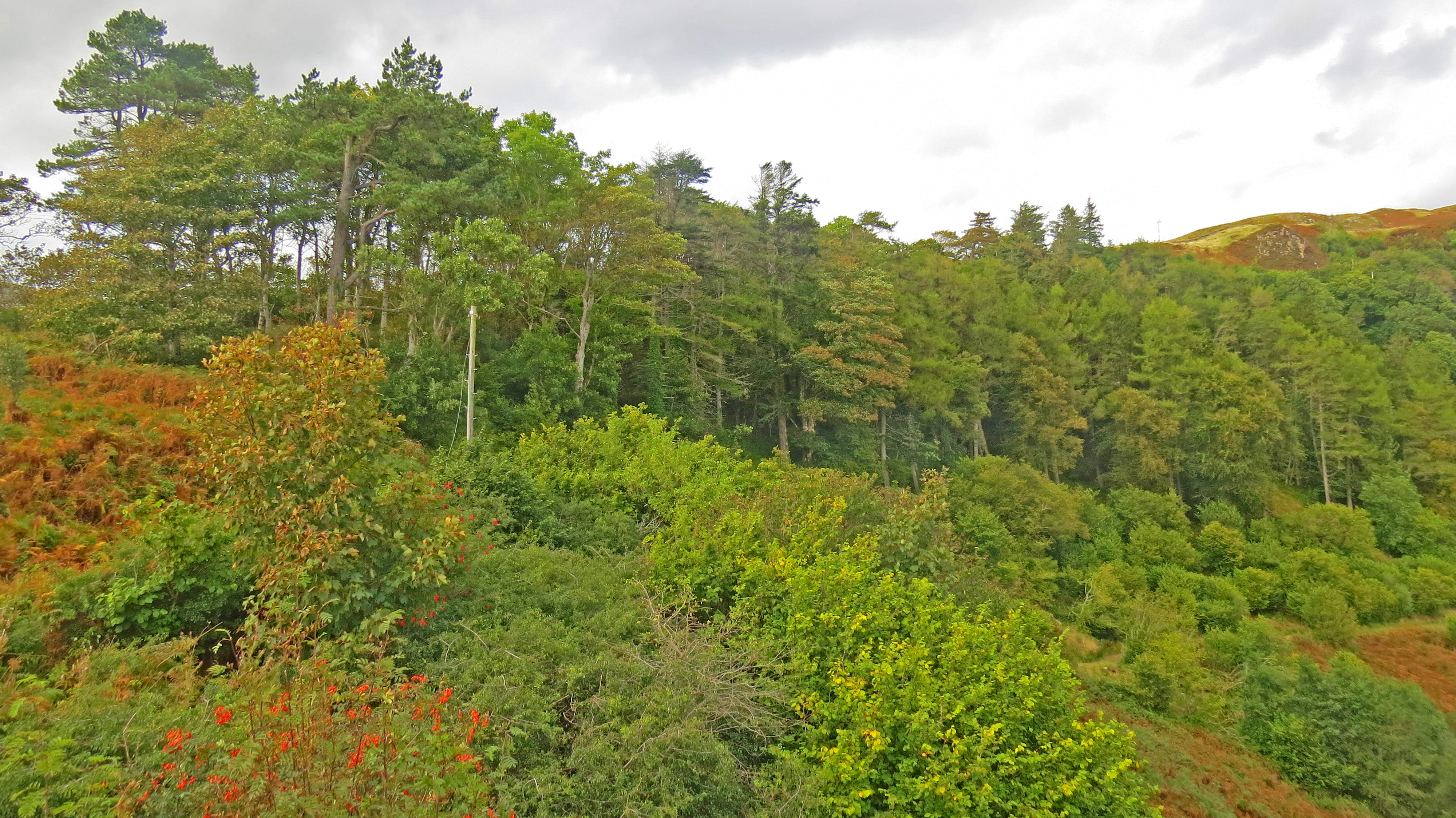
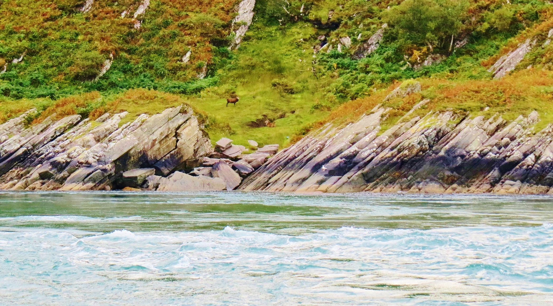
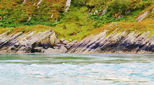
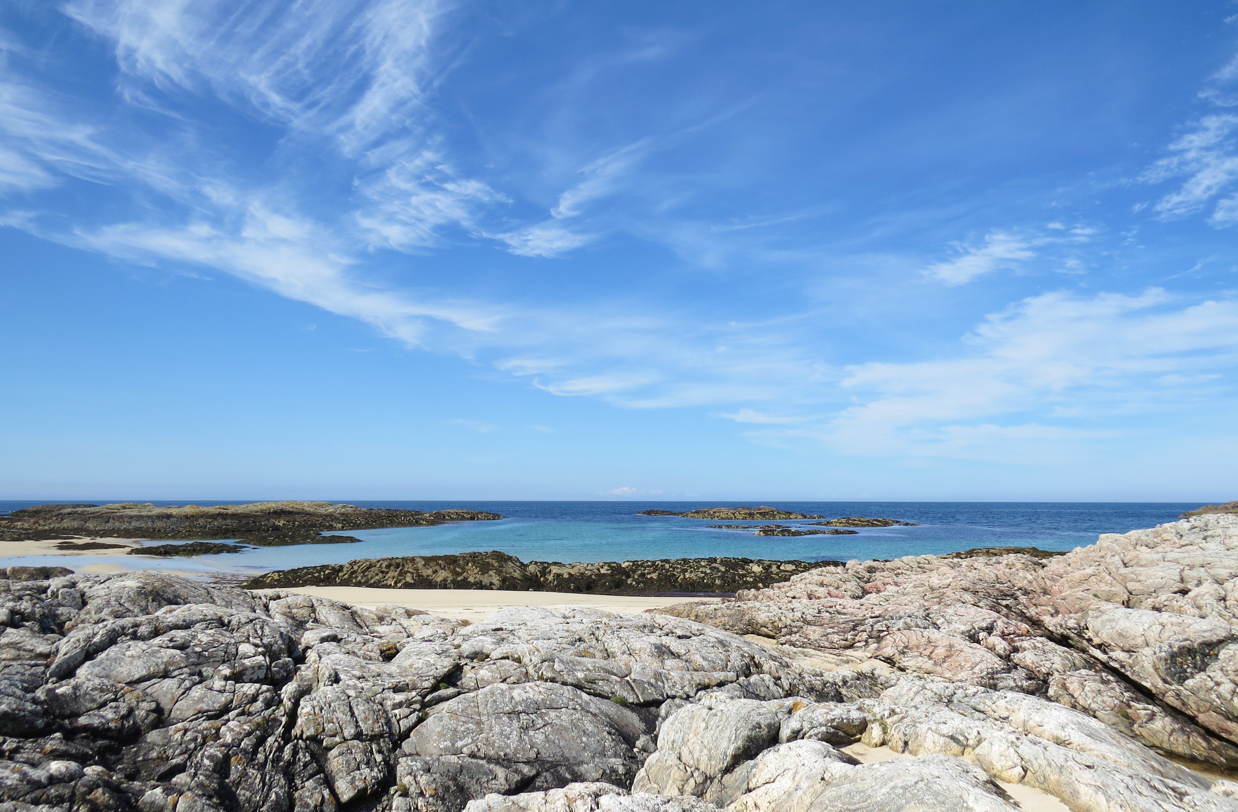
Hoy (Pop. 272) is the closest neighbour and only ‘mountainous’ Orkney island. In fact, the high points are not high enough to be classed as mountains. However, old red, sandstone cliffs soar over 1,000ft in places around the dramatic, rocky coast and the stark, ‘almost mountains’ soar steeply from sea level, giving credence to its name. The name ‘Hoy’ is from an old norse word for ‘high’. Compared to the other almost, or totally, flat, Orkney Islands, rugged Hoy certainly earns its ‘high island’ status.
Storm clouds over Hoy
From Stromness I took a ferry to Hoy. Heavy rain caused my first visit to be cut short, but the following day was mostly dry, allowing me to return.
The local mini tour bus picked up me and a group of fellow travellers from the ferry dock and drove us to Rackwick, generally accepted as the most scenically beautiful area of Hoy. On the way, we stopped to see ‘The Dwarfie Stane’, a 5,000 year old chambered cairn, unique for being hollowed out of a single block of stone. Some say the only one of its kind in the U.K.
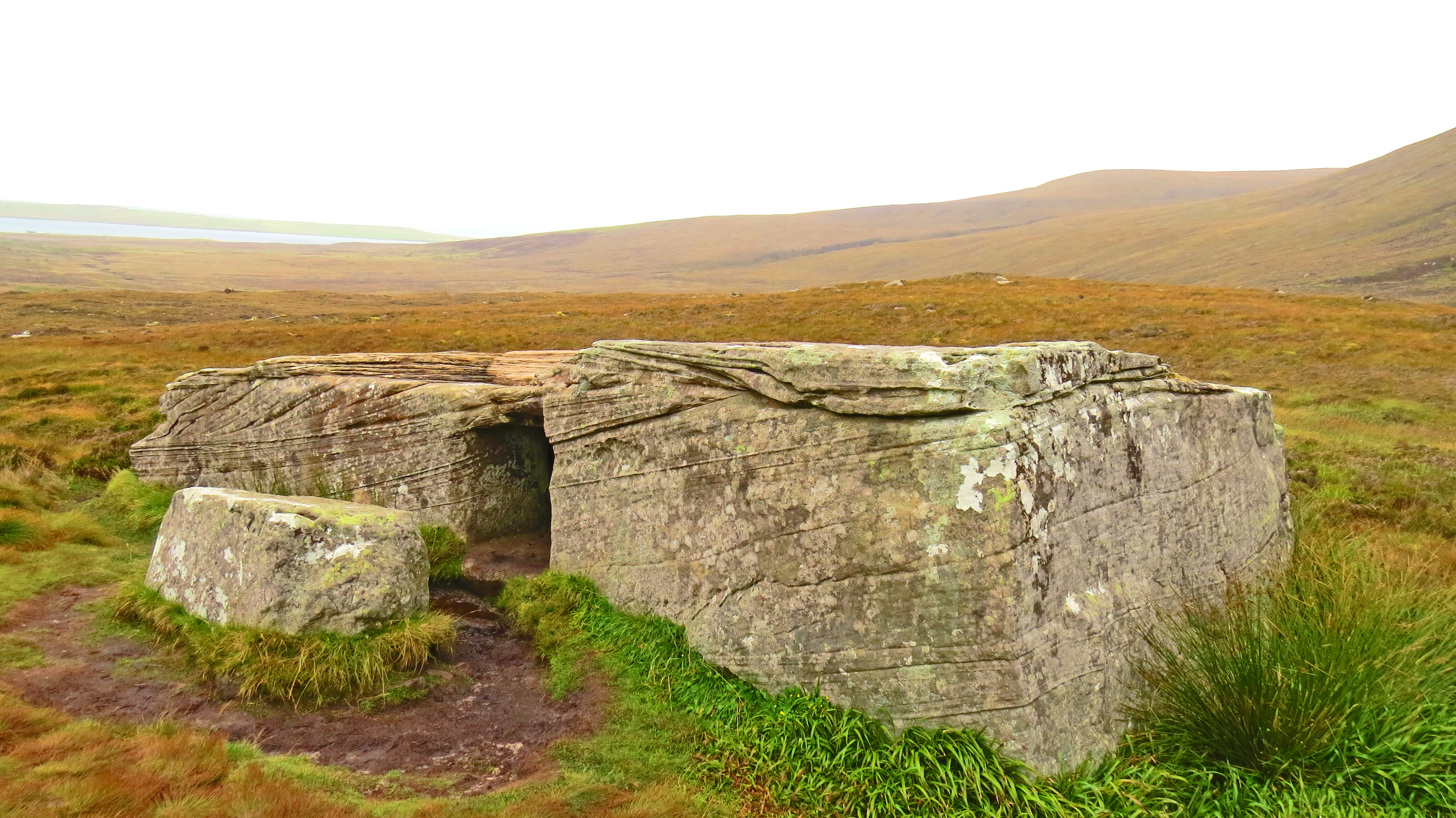
Rain on the Dwarfie Stane (Day 1)
Thousands of hours with primitive tools must have gone into hollowing out this giant rock, thought to have been dropped by a glazier during the last ice age. There are two chambers inside and the stone lying beside it served as a tight-fitting door until opened by later, curious people. Legend links it to dwarfs, since the rooms are too small for average size humans.
Luminescent mist shrouds cliffs above the Dwarfie Stane (Day 2)
Who created it and for what purpose is a mystery, as is the reason for its labour-intensive creation. The boggy moors for miles around show no signs of having supported dwellings of any kind so the stonemasons must have lived in some of the natural caves in the cliffs behind the Stane (stone). Some of these have many layers of heather on the floors which seems to suggest they were used as sleeping quarters at some time.
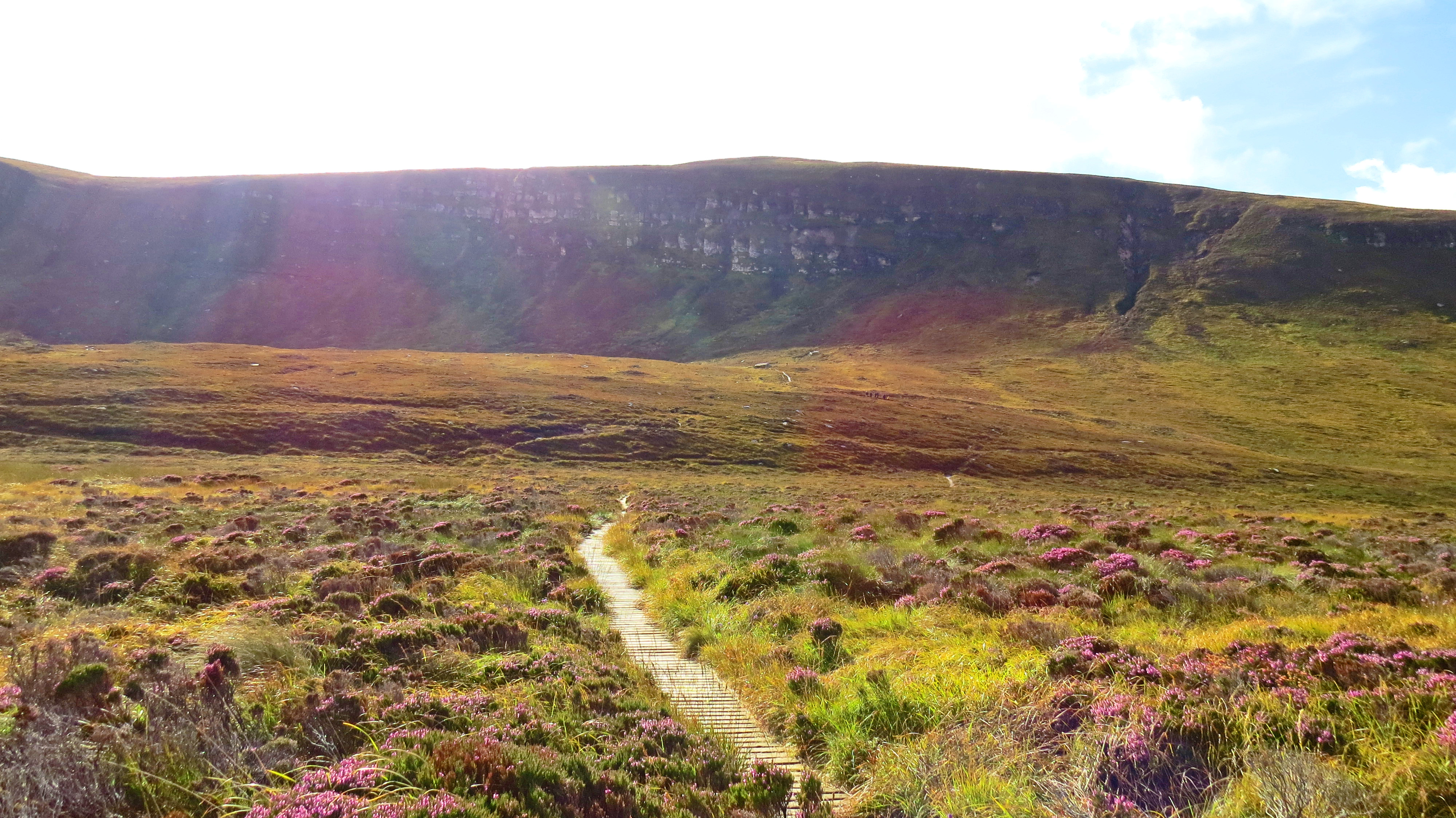
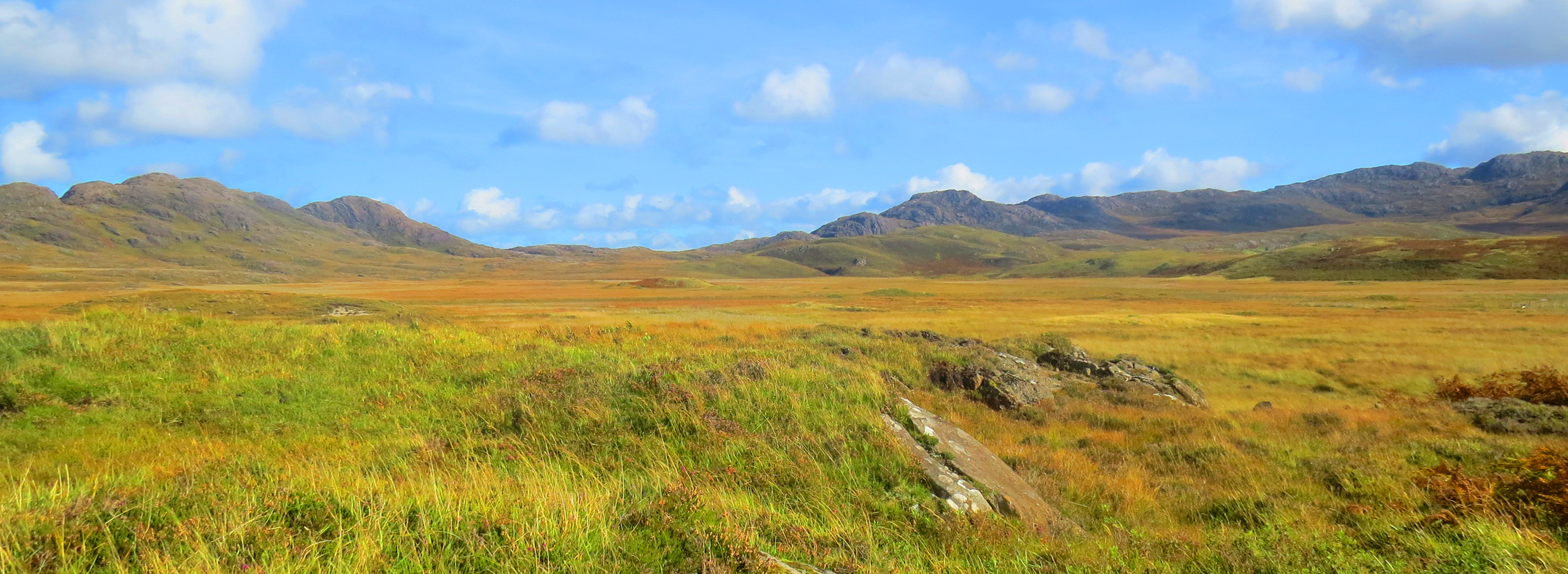
Moors (peat bog) en route to the Dwarfie Stane (Day 2)
After the minibus dropped us off at Rackwick, most of the group chose to hike several hard miles to the ‘Old Man Of Hoy’, the best known Orkney landmark. This free-standing pillar of light-stone stands 450ft (137 metres) , like a sentinel, at the edge of the island, greeting visitors as they sail past Hoy en route to Stromness.

Old Man of Hoy
Fearing I would not make it back in time to catch the return ferry, I opted for an easier, shorter hike to Rackwick Bay, reluctantly settling for seeing the Old Man from the water. I ended up thinking I got the best of the bargain. Before setting out on my walk, I discovered an amazing little school building close to the unofficial bus stop. Classes had been held there almost continuously from the mid 1700s to the 1950s.
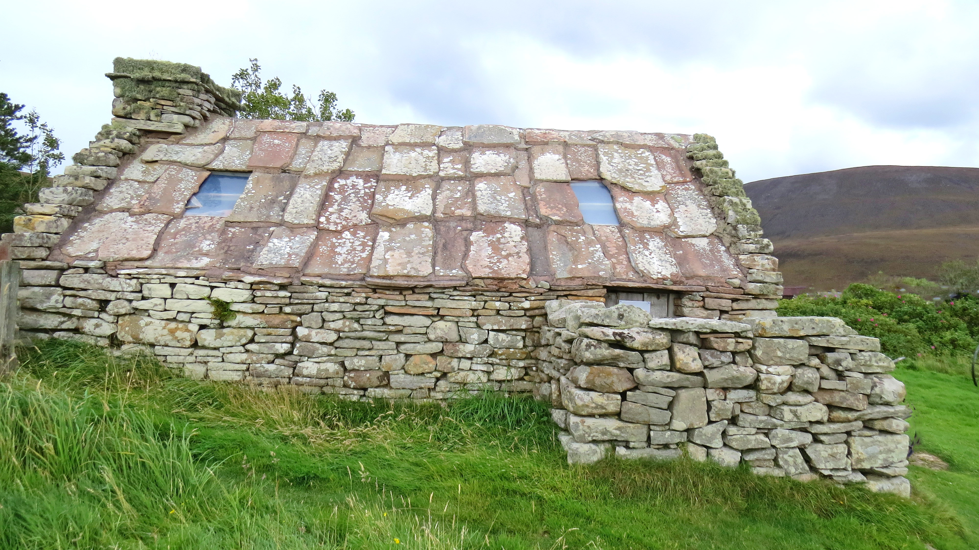
Rackwick School
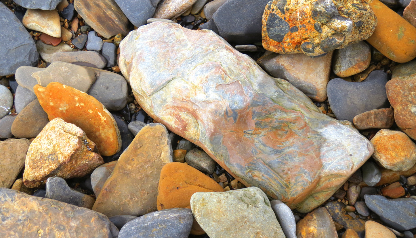
A group of churchmen made school attendance on Hoy compulsory for children between the ages of four and sixteen. After the first hundred years or so, the Rackwick School building was refurbished and is still snug and dry today. The old red, sandstone slabs, such as those used on the roof, are found in abundance on many beaches around the Orkney Islands.

Rackwick School Interior
The bench in the photo above is where I spent an hour or so, alone, marvelling at the happenstance that took me there and gazing around in wonderment. I sat there, adding another tiny part to the history of Rackwick School on Hoy Island, the one ‘high’ island in the Orkneys.
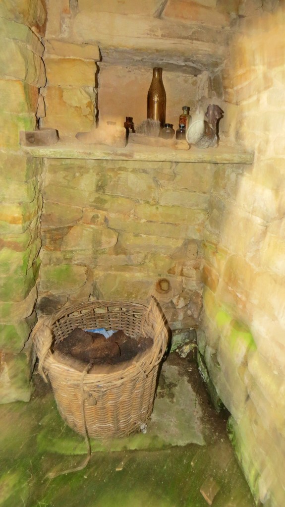
The Inglenook Beside the Fireplace.
Inglenook is the Scots word for the recessed area beside a fireplace, used to store kindling, firewood etc. In this case they would have burned peat, some of which remains in the basket. What looks like First Aid items still sit on the shelf.
The school closed when there were no longer children in the area. Young people left to find work and adventure on mainlands across the globe. Yet their shades still remain, generation after generation, joining all the ancients, back, back 10,000 thousand years and beyond into the mists of time. On these islands where the veil is thin, my brief time there will have left a shadow of me, however faint.
From the school I walked a mile or two, downhill, to Rackwick Bay.
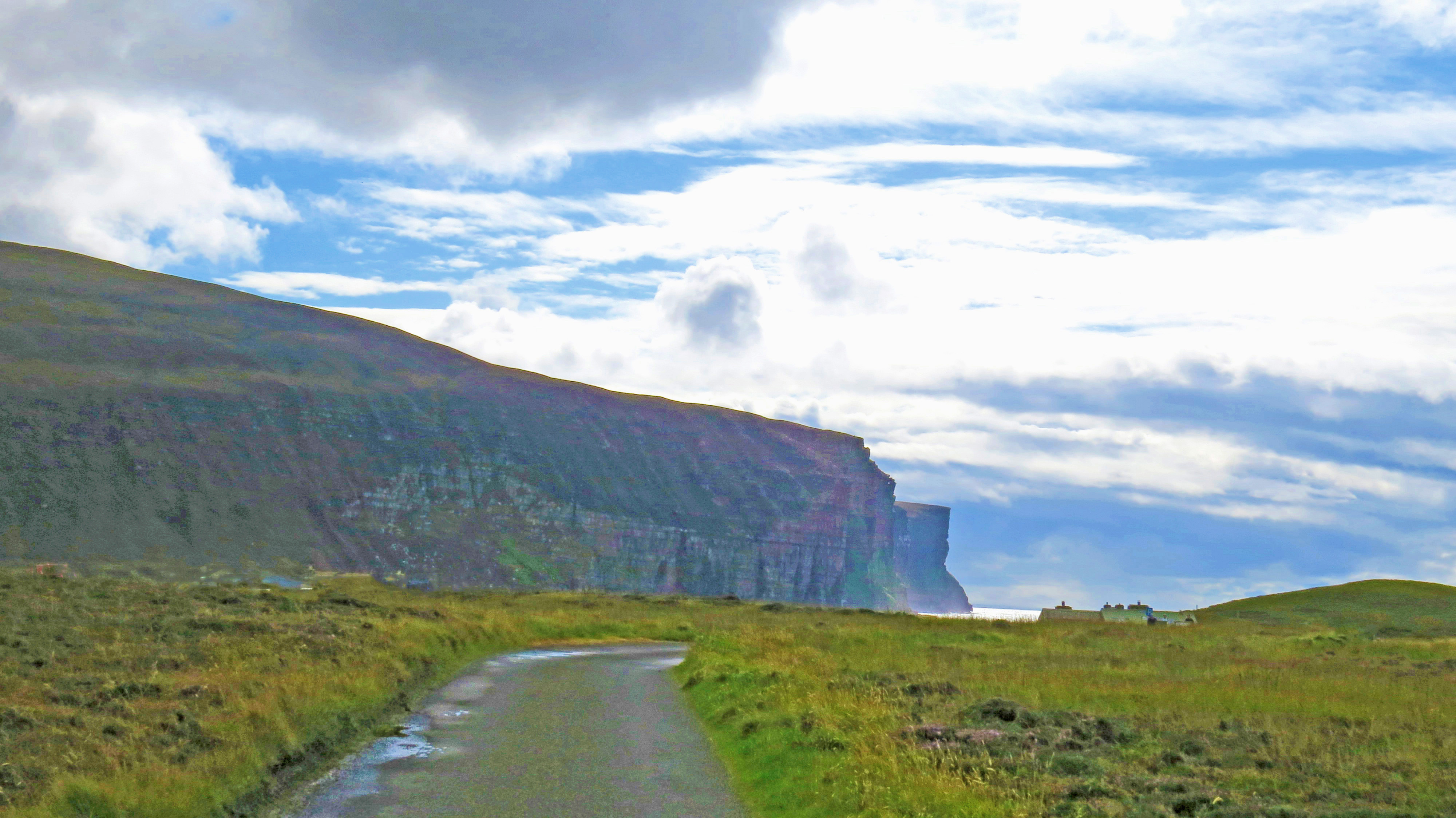
Approaching Rackwick Bay
While there are no megaliths or really ancient ruins visible here, mingling of past and present is everywhere.
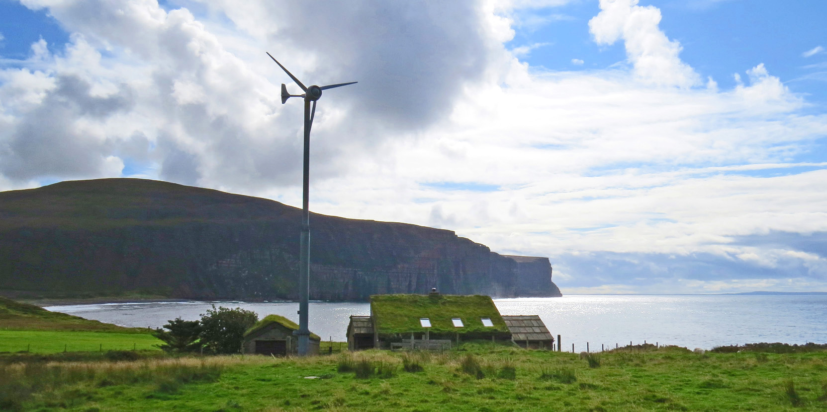
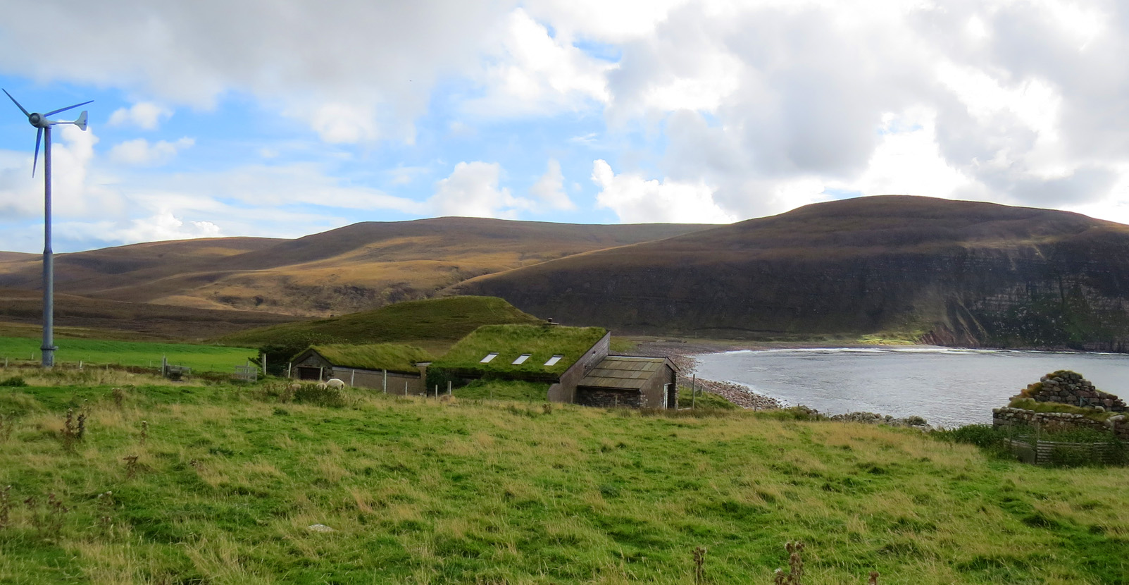
Croft house at Rackwick Bay
Compared to its neighbouring house, now in ruins, this tiny, old, croft house is fairly modern in construction. The ultra modern wind turbine could look incongruous, but on the Orkney Islands, where ancient, old and new exist happily cheek by jowl, it seems fitting.
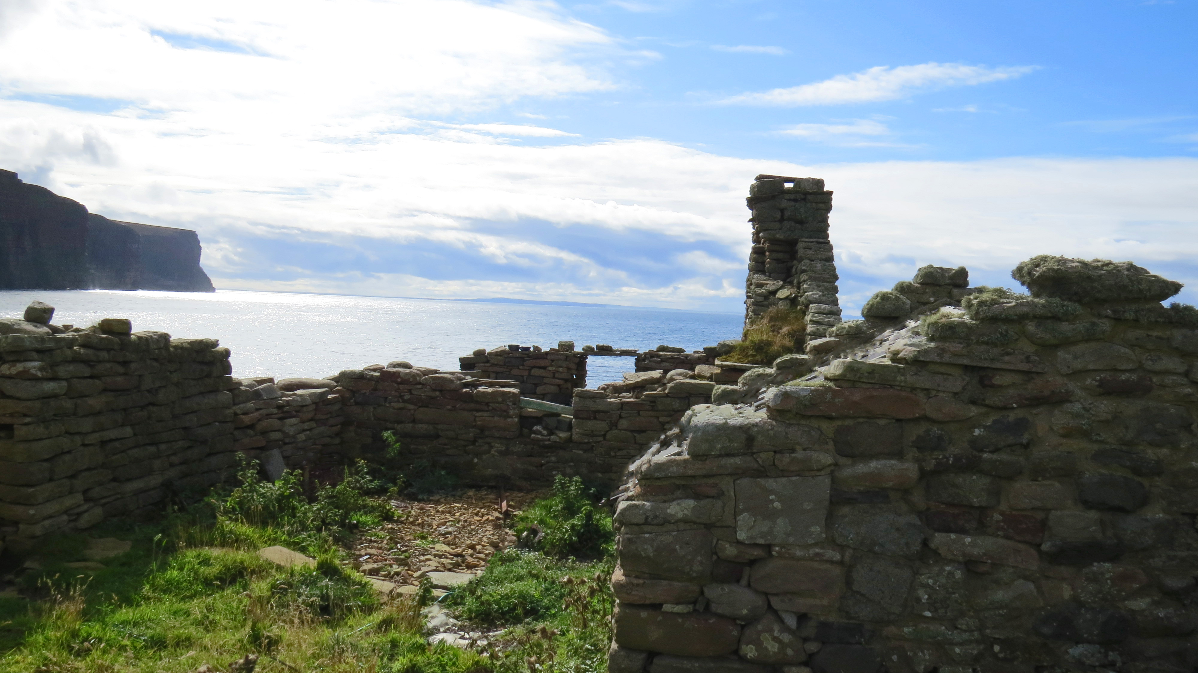
Ruins of abandoned croft house at Rackwick Bay
Time sharing
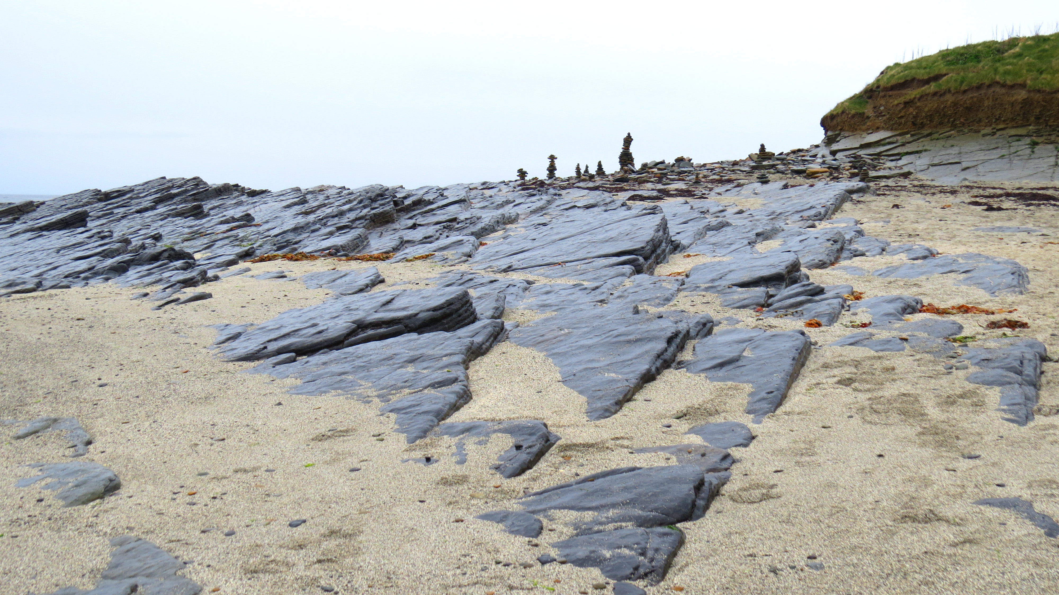
The rocky beach of the bay is a perfect example of how time is in a different zone here than elsewhere. Until two years ago, this was a sandy beach. During a particularly wild storm, all the sand was stripped from the shore and blown inland. The mound visible behind the house is another building buried by the sand and now covered in grass. There are mounds all over these islands; some recently created like this one; some burial mounds thousands of years old and every time in between; some refuse dumps of varying ages; some thought to be purely ceremonial and some of unknown date or purpose. They all look much the same adding to the feeling of time not passing.
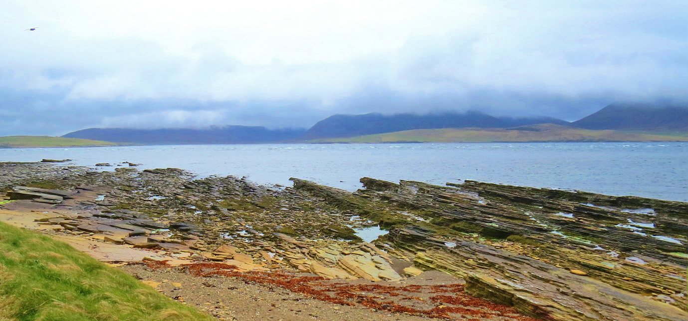
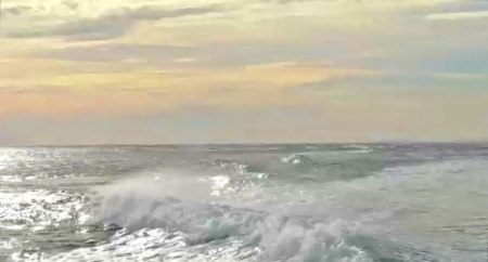
I was able to spend a few minutes on the beach near the Moness ferry dock. Storm clouds glowered overhead making a dramatic picture.
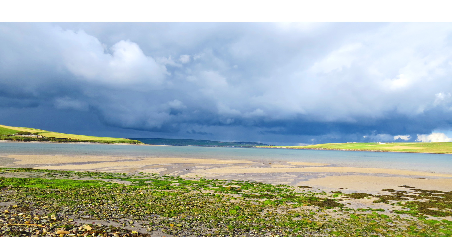
Storm Clouds over Moness Beach
Sanday
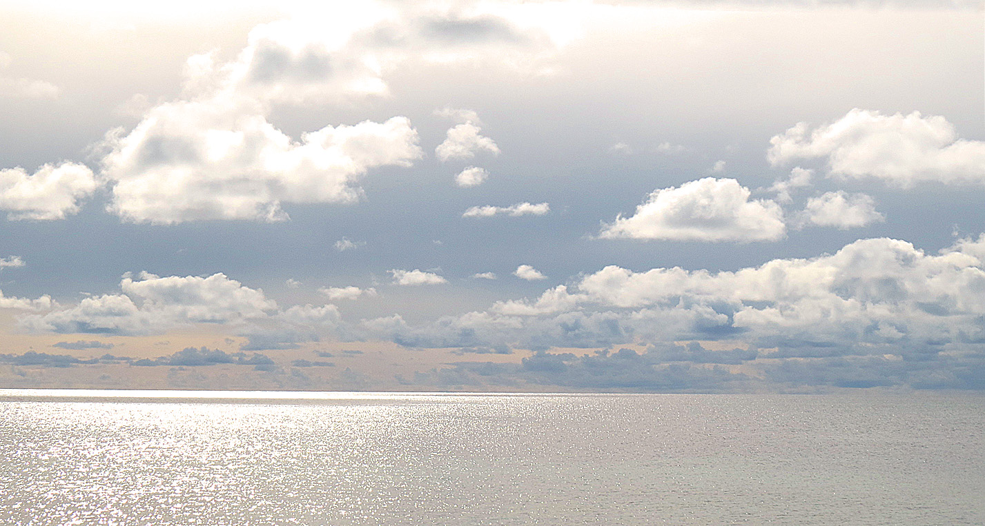
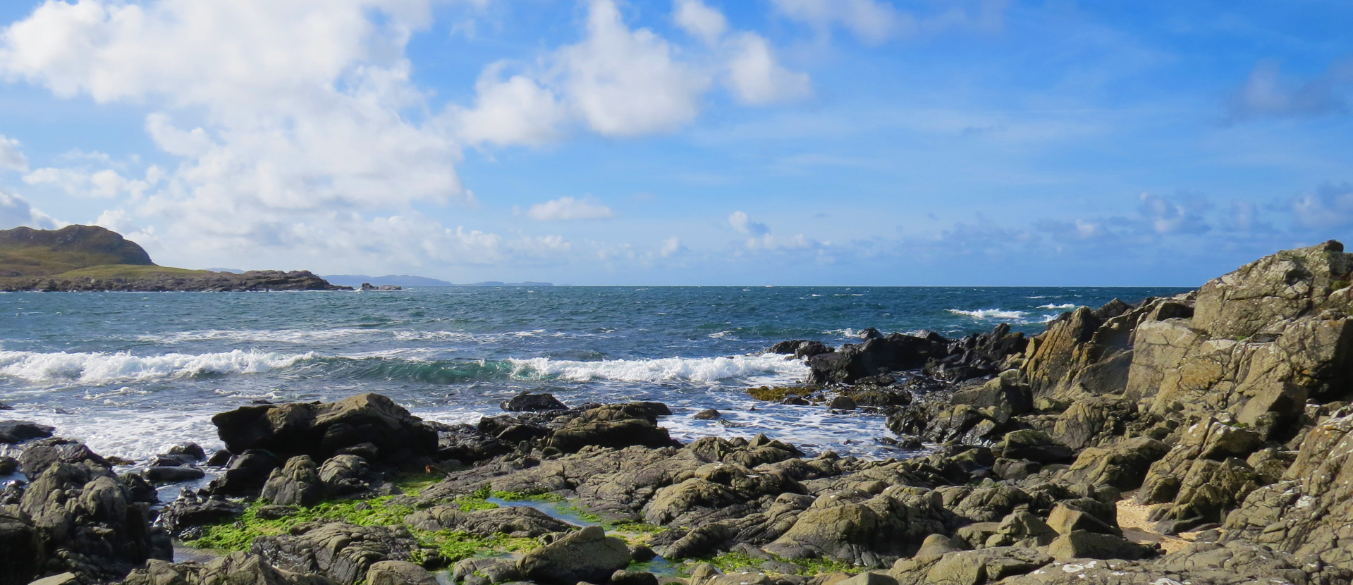
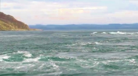
Sea and Sky: A View from Sanday
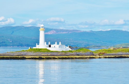
My next day tour was to the northern outer island of Sanday (Pop. 550). I took a bus to Kirkwall Harbour where I caught a small Orkney Councils ferry for the 95 minute journey.
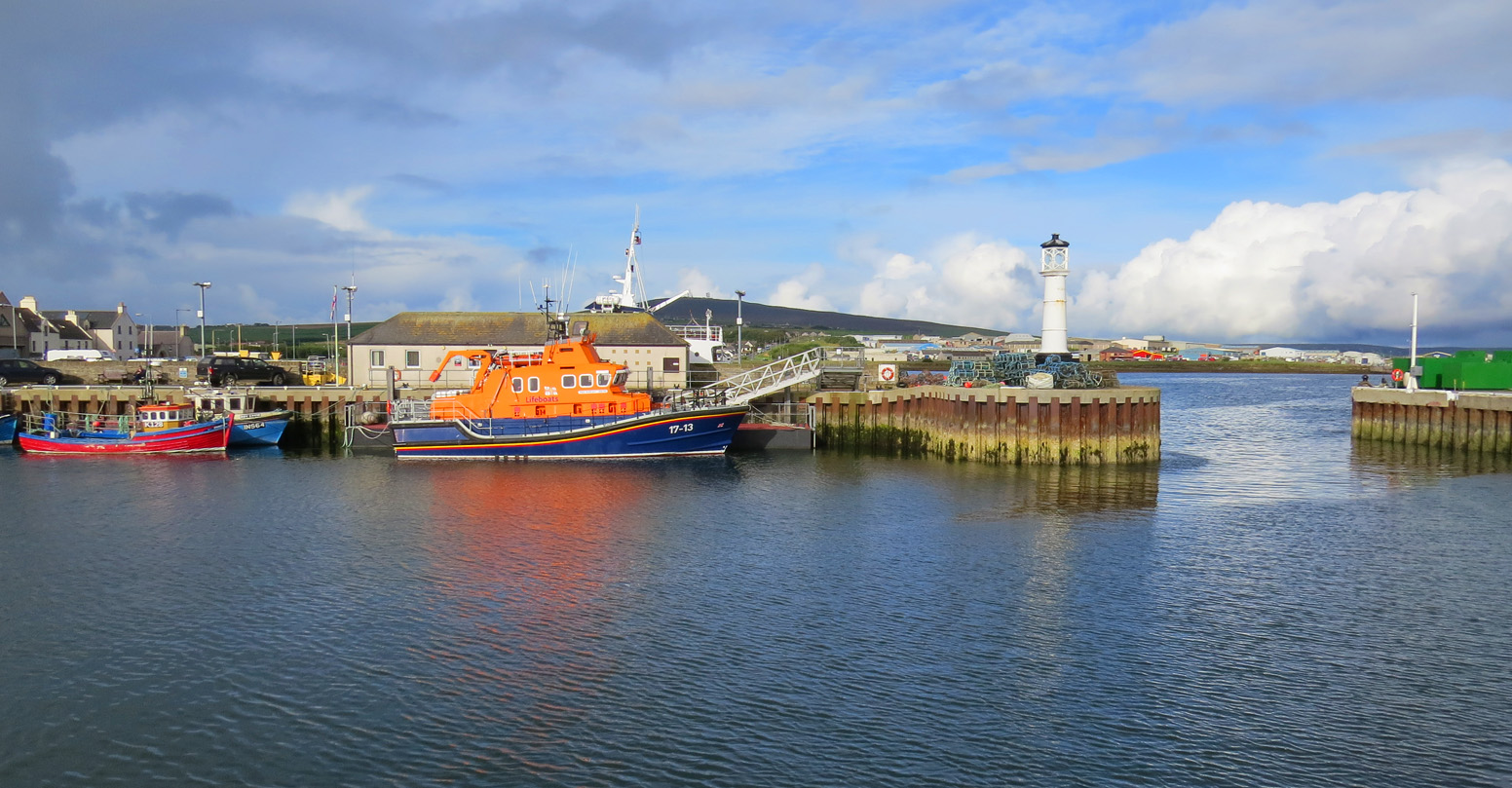
Life Boat in Kirkwall Harbour on the edge of Scapa Flow
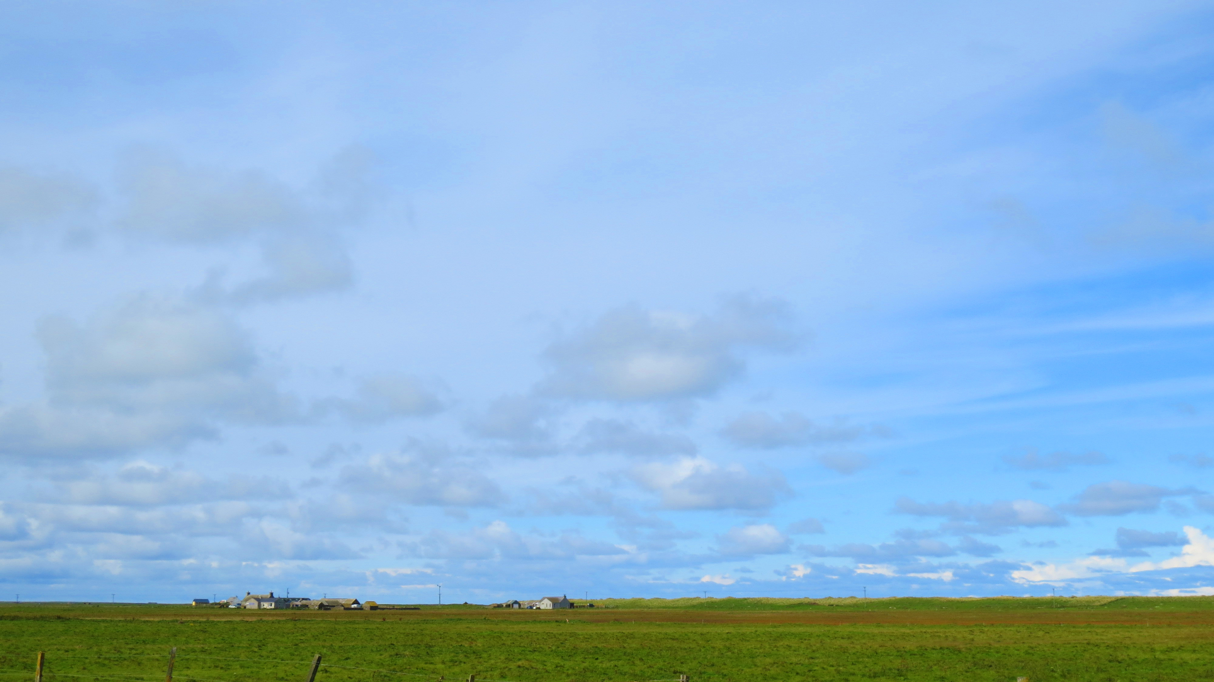
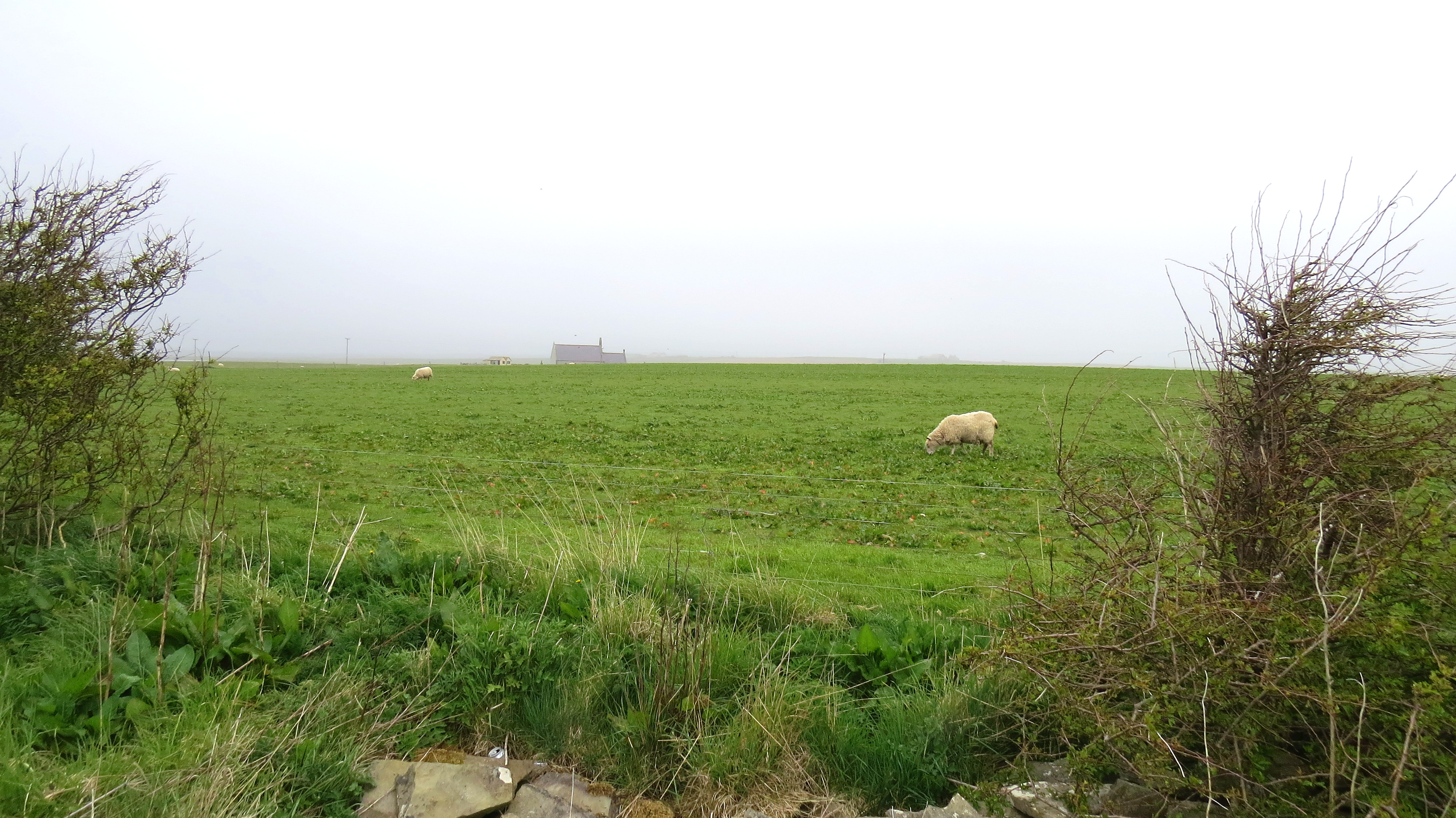
Sanday is almost totally flat giving ‘big skies’ a whole new meaning. With a year round population of only 550 and almost totally given over to fertile grazing land, this quiet, sleepy place has the richest arable land in the Orkneys and is an archaeologists dream.
Sanday farmlands
The coast abounds in neolithic sites exposed by erosion as well as countless buried ‘treasures’ hidden beneath the farmlands. While many beautifully preserved sites have been unearthed or otherwise located, for the most part they are re-buried to further preserve them from the elements. The cost of maintaining them uncovered is greater than is feasible.
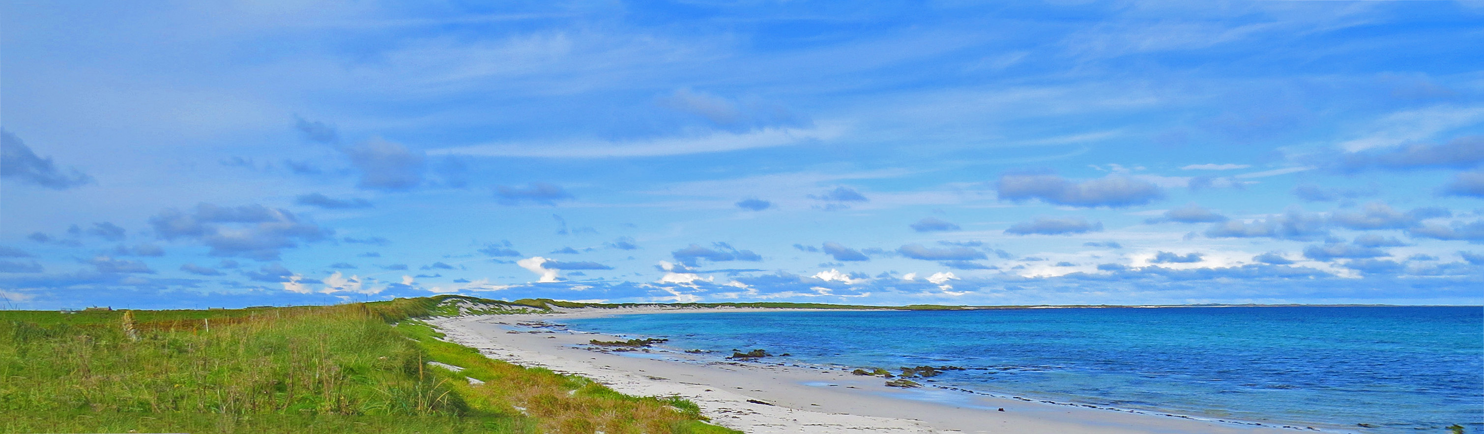
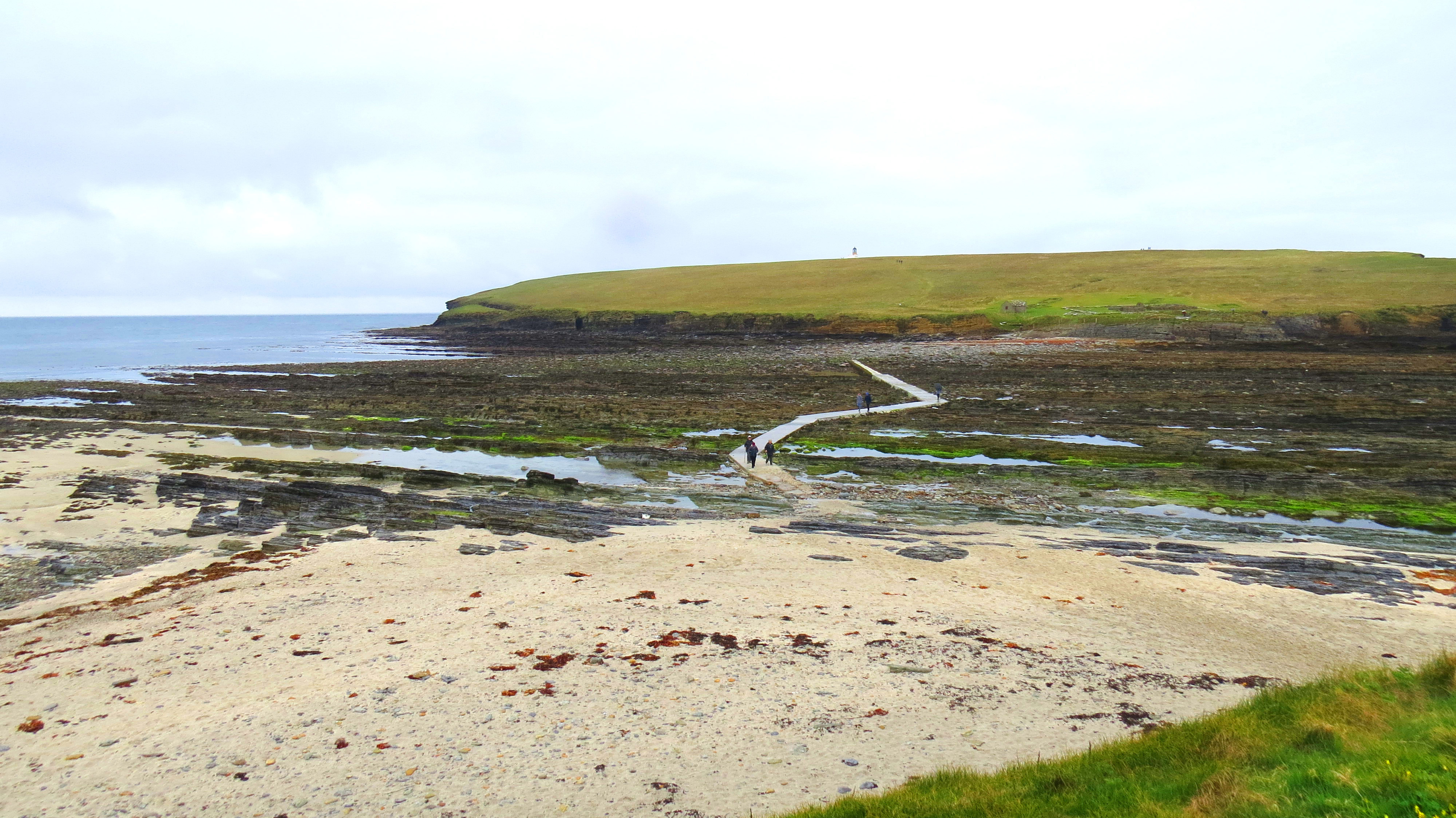
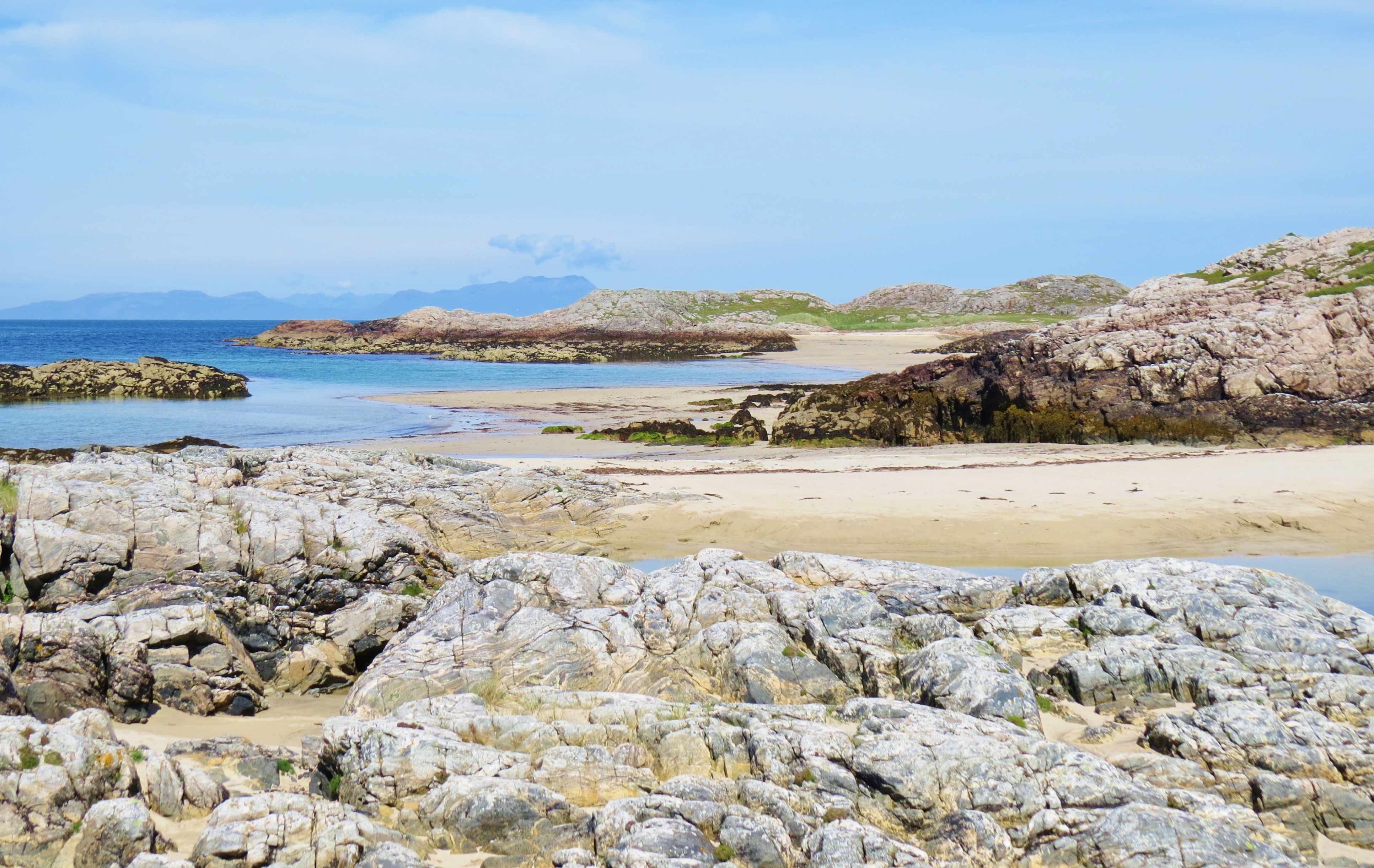
Cata Sands, Sanday
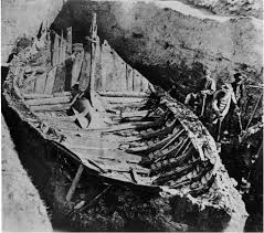
Archaeologists discovered remains of an early Neolithic village at Cata Sands. Their most puzzling find was an 18th century pit containing several whale carcasses with missing heads. They had not been butchered for the blubber, valuable at the time, which lends credence to the historical account of 80 whales being beached on Cata Sands. Reportedly, visitors to the island complained of the smell, so the locals obligingly buried them.
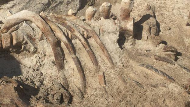
Cata Sands whale bones (courtesy BBC)
A huge storm lashed the island in 2005 uncovering an ancient stone vat sticking out of what had believed to be a burial mound besise the beach at Meur. Once far inland, erosion over the millenia now made the location coastal. Thinking they had discovered a burial site, archaeologist began excavating the site. They soon realised this was, in fact, a bronze age burnt mound, beautifully preserved. In 2013, realising that, left to the lashing of wind and waves, this treasure would not last long before succumbing to nature and the elements, the archaeologist lovingly took it apart, stone by stone, then reassembled it inland in Lady Village, close to the new Heritage Centre.
The following YouTube video by Vimeo shows the moving of the burnt mound and wonderfully showcases the wild, rocky, incredibly beautiful coast at Meur.
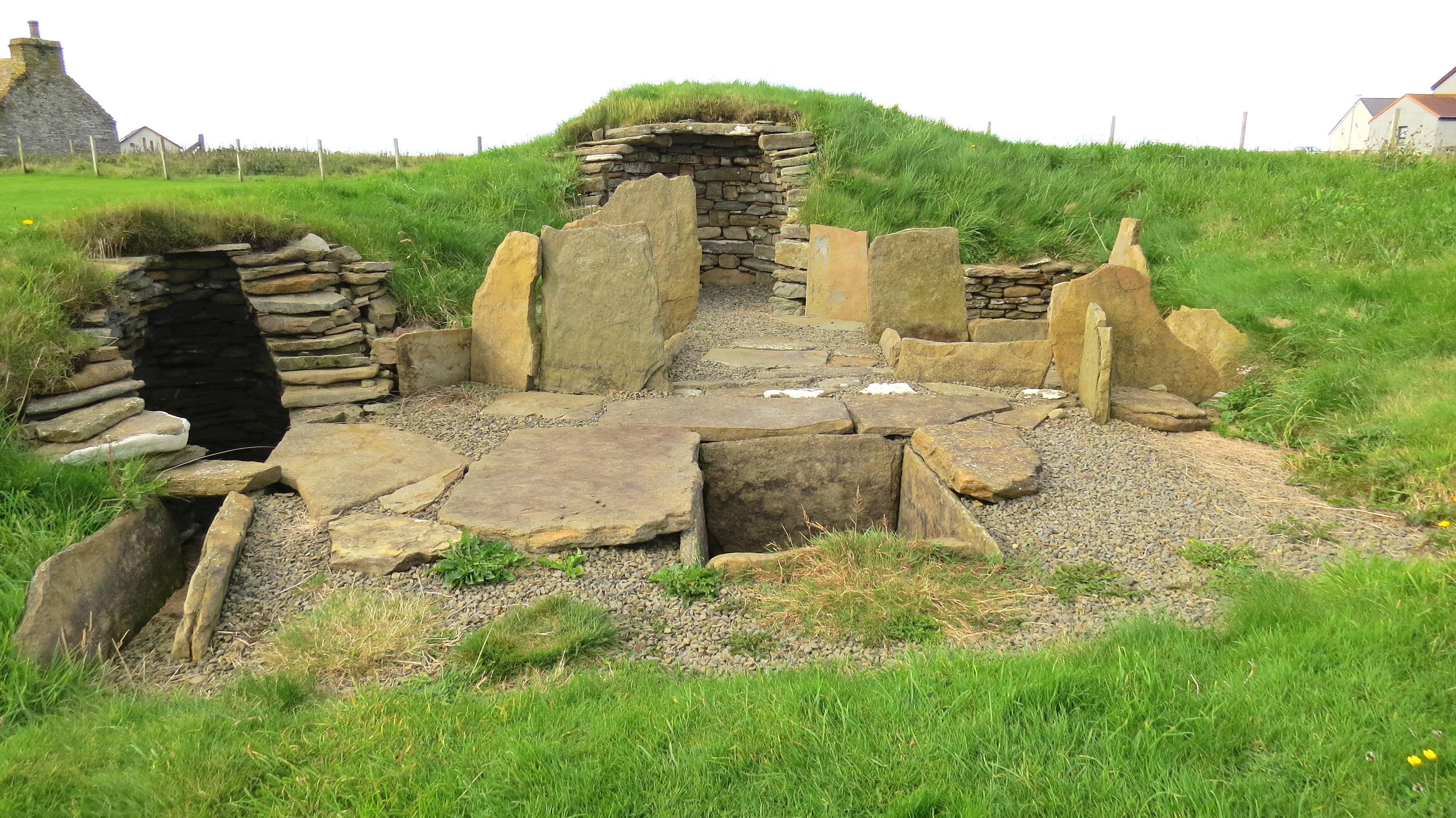
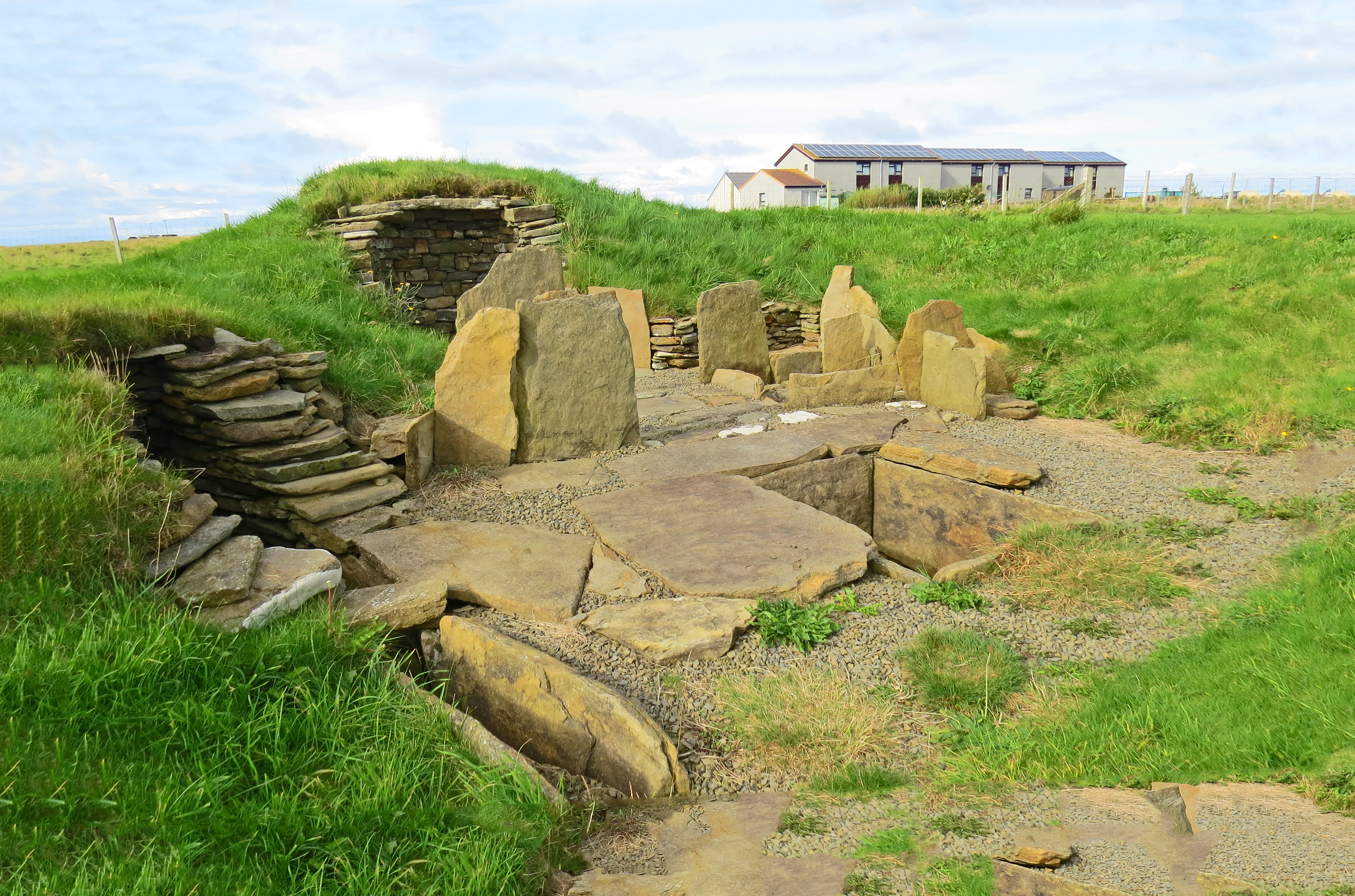
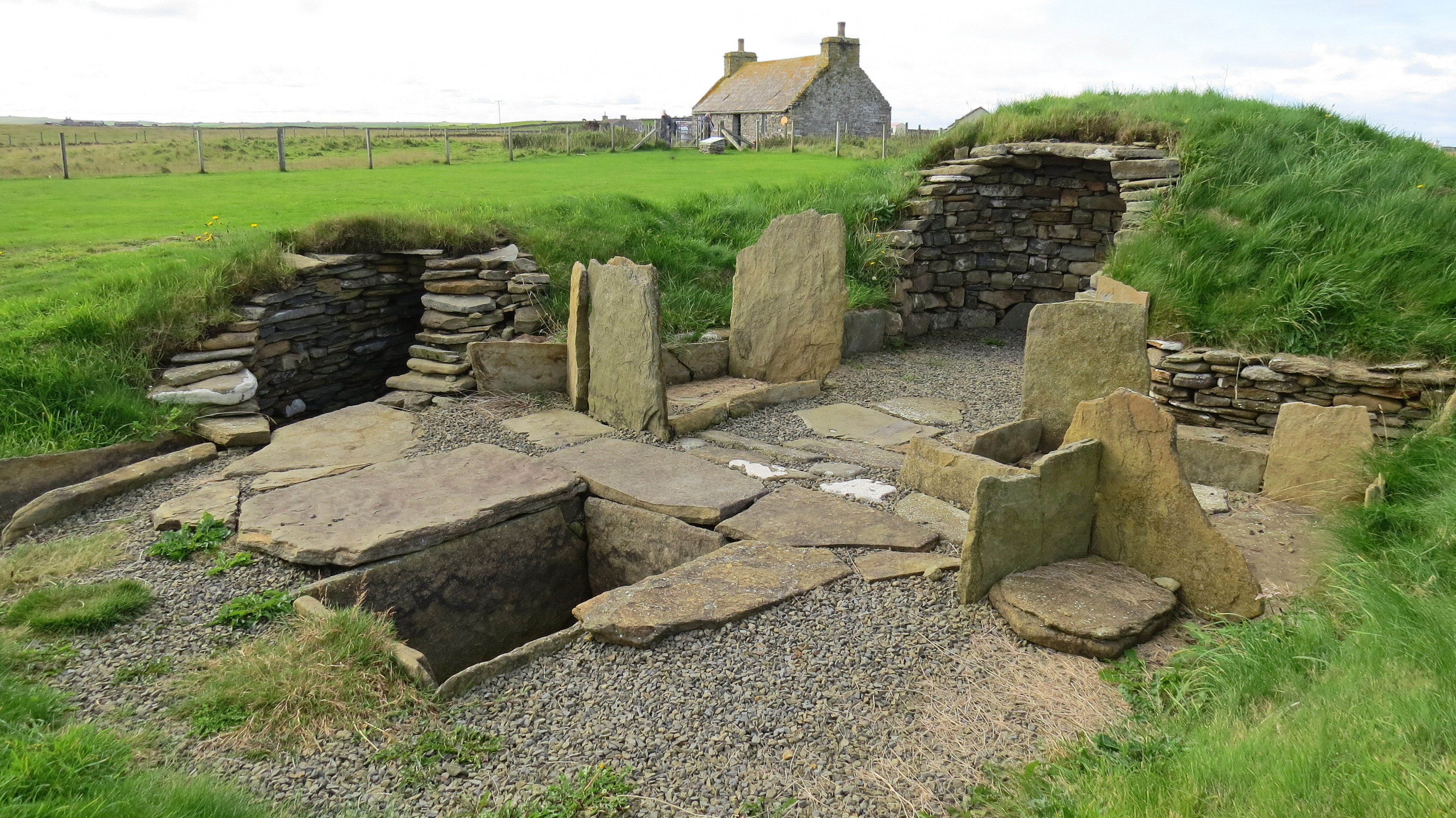
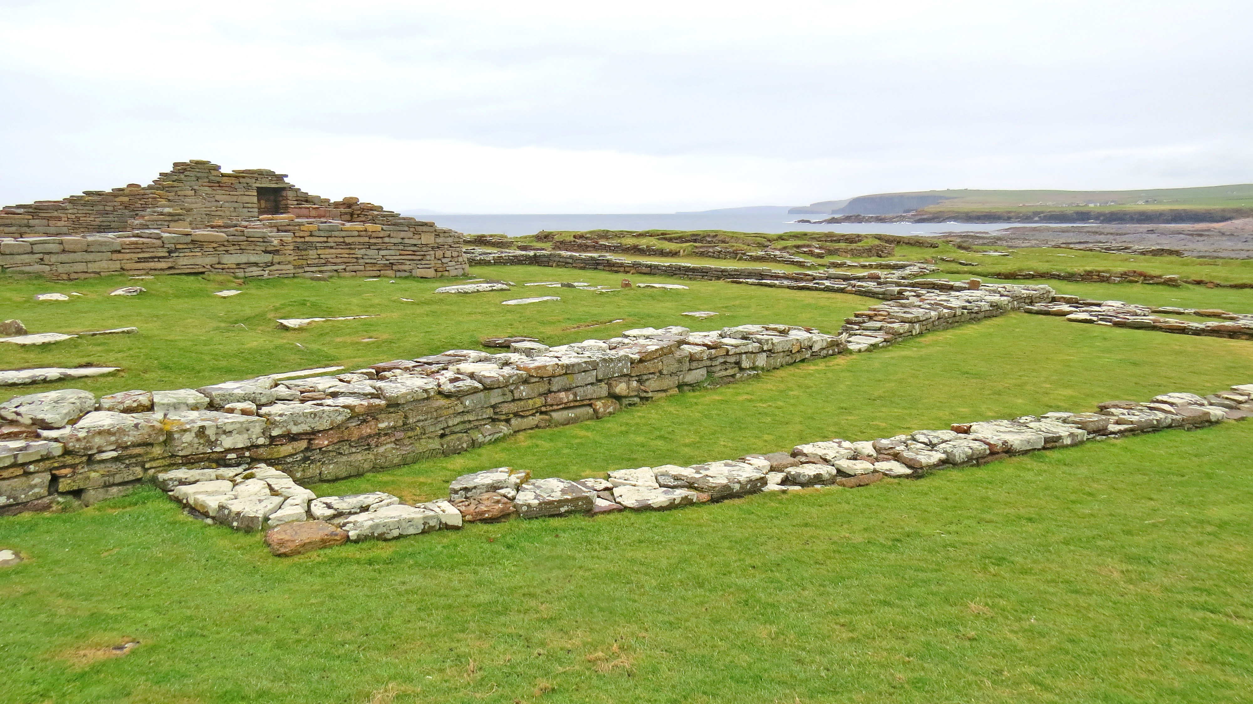
The burnt mound at Lady Village
Burnt mounds are found in many places throughout the Orkneys. They appear to have been communal rather than individually owned. Here we see the ingenuity of neolithic man 5,000 years ago. This was how they heated water. The opening on the left is a well with steps leading down into it. Below this well the archaeologist found another, much older one. At the back is a fireplace. The vat in front was filled with water from the well then stones, heated in the fire, were dropped into the vat thus heating the water. The heat would break the stones which would then be tossed to the sides, creating a mound.
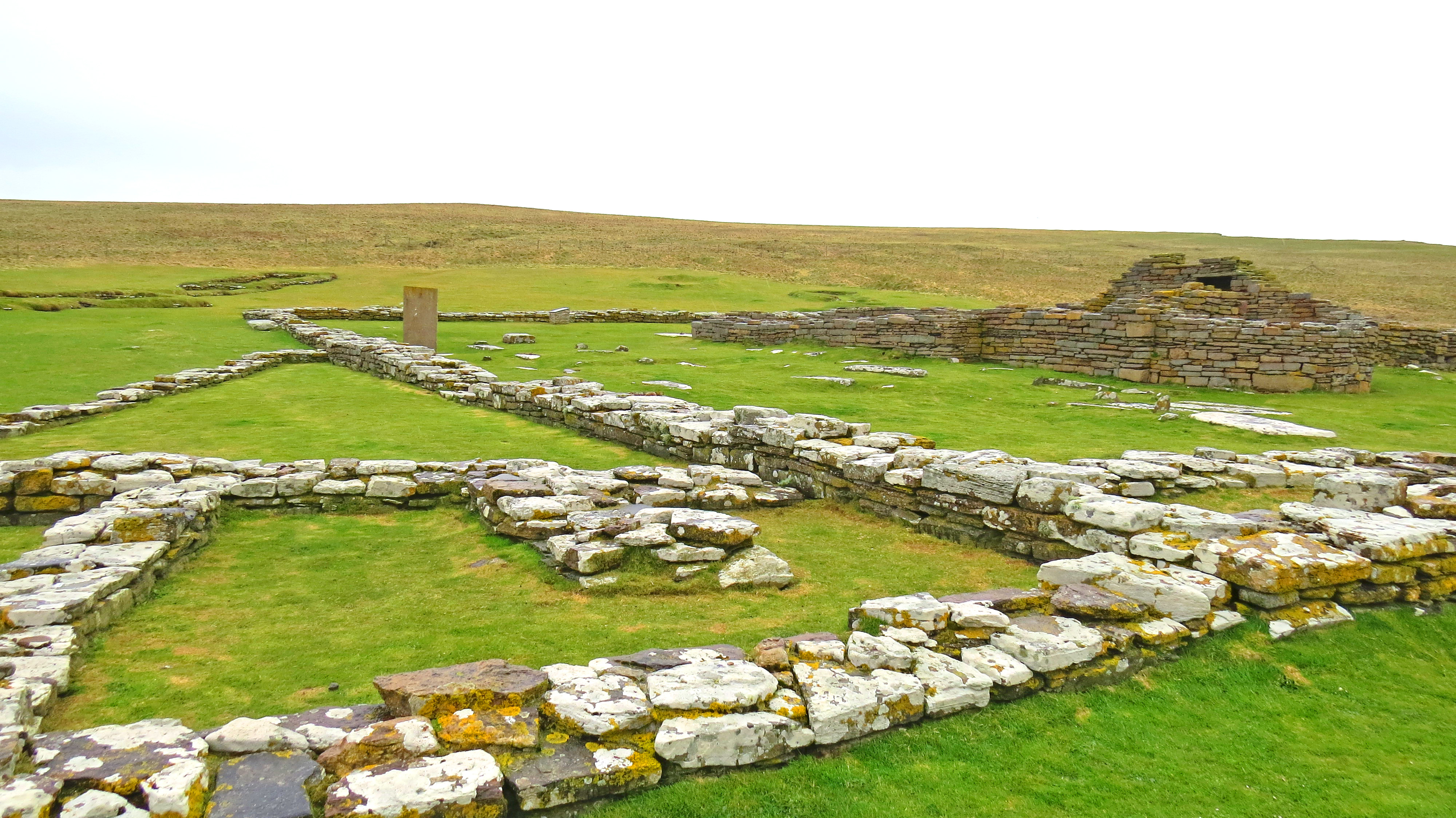
Ancient meets modern
In the above photo, the Bronze Age burnt mound is overlooked by a modern house with solar panels on the roof. Here we have another great example of how, on the Orkney Islands, past and present coexist side by side with a calm acceptance of inevitability by Orcadians that is difficult to verbalise; this strange, but not unpleasant, feeling of otherworldly time that visitors feel so strongly. It’s said that, on the outer northern isles, the veil between physical and spiritual is thinnest.
Well preserved 100 year old cottage overlooking burnt mound
Also overlooking the Neolithic hot water production site is a 100 year old cottage, abandoned but preserved by the villagers.
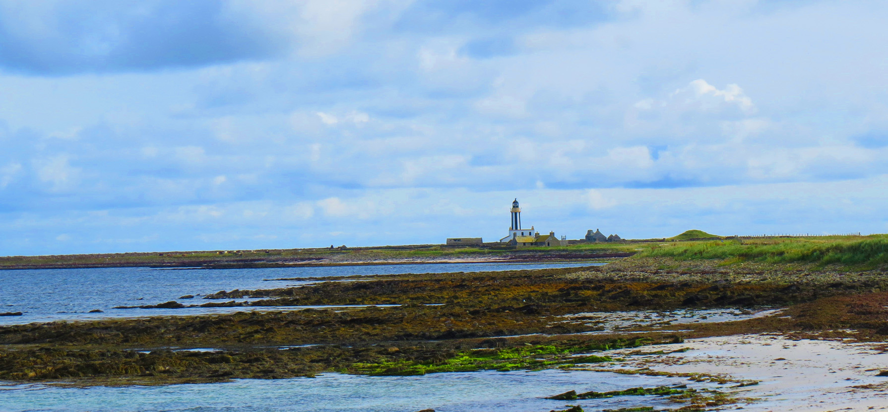
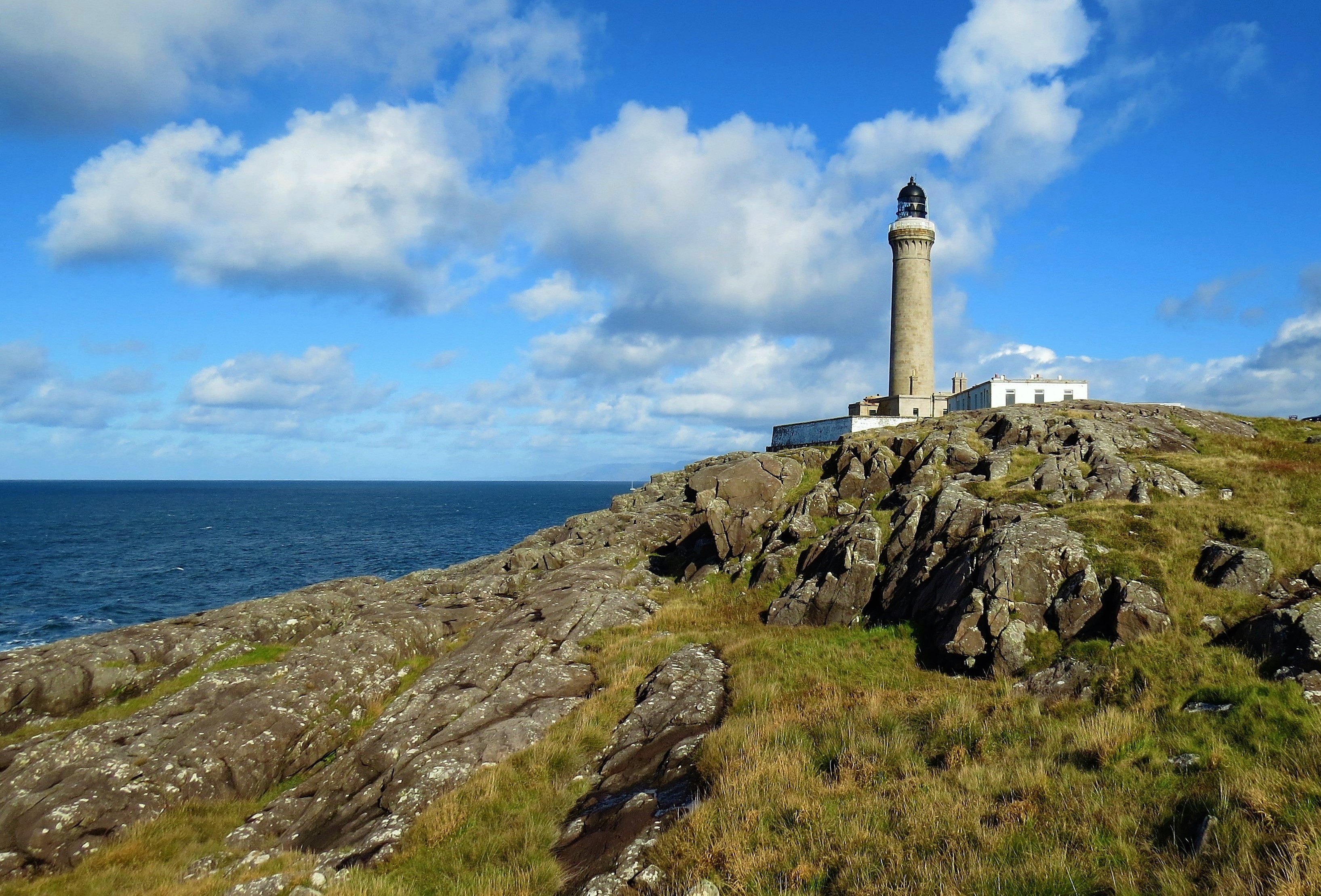
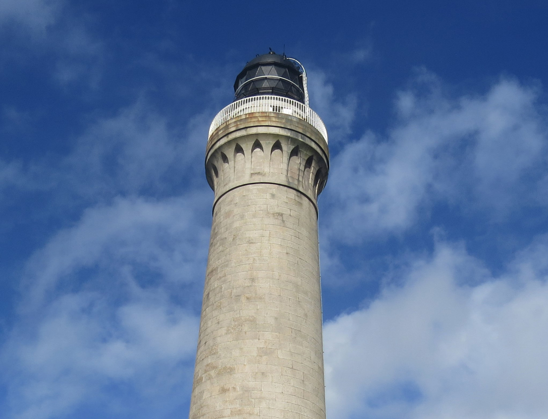
Sanday Lighthouse and buried telephone exchange
At the far north of Sanday, a striped lighthouse attracts lighthouse baggers. Closeby, what looks like a sand dune is a house to which underwater cables from Norway were used to bring the Orkneys their first telephone exchange. As with the croft house on Hoy, huge winds blew sand inland and buried the building, creating yet another mound to add to the plethora already there. Whether 10,000; 5,000; 100 or 2 years old, the mounds all look the same; grass covered hillocks disguising unknown or newly discovered remains, covered and preserved for all time or until nature and the elements expose them once again as happens frequently on the Orkney Islands.
Sanday Village
A grocery store; a Heritage Centre; a war memorial; the burnt mound; a handful of assorted dwellings and a museum make up the heart of Lady Village. ‘Downtown’ to people on this side of the island. While visiting the Heritage Centre I came upon an incongruous item that I found intriguing when I was there but, once home and viewing the photo I took, vaguely disturbing.
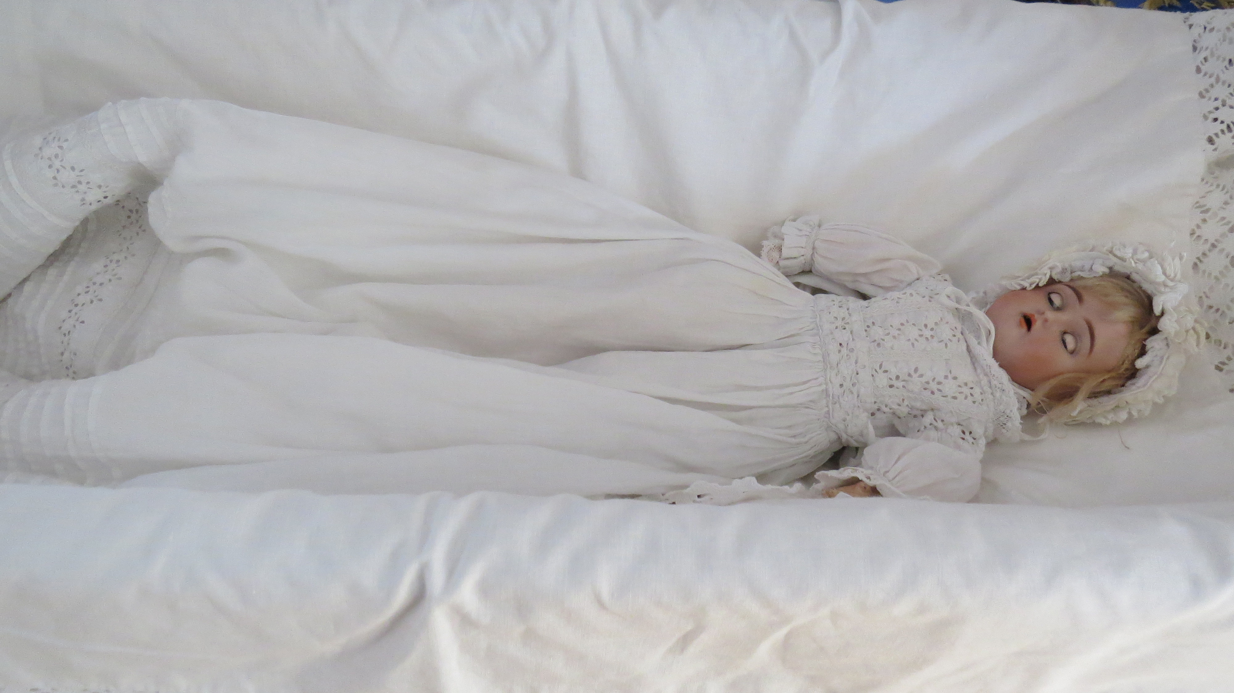
Antique doll in Sanday Heritage Centre
Oddly, when I was there, the doll seemed charming, whereas back on the mainland, it feels quite unsettling.
After such brief visits to Sanday and Hoy I was only able to visit a few of the many places and points of historical interest. More extensive information can be found at the sites I will list below.
From Sanday I sailed back to Kirkwall and from there took a bus back to Stromness.
Kirkwall
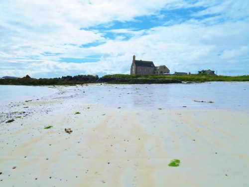
Kirkwall is the capital of Orkney, situated on the east side of Mainland Island. the population of around 9,000 accounts for 75% of Orkney’s total As well as having a busy harbour, airport and bus station, it is also where most of the islands’ industrial sites are located. While it lacks the quiet charm of Stromness, the town center is a joy for history buffs. It is also a magnet for Scapa Flow wartime history enthusiasts, as it is the gateway to many key sites of interest.
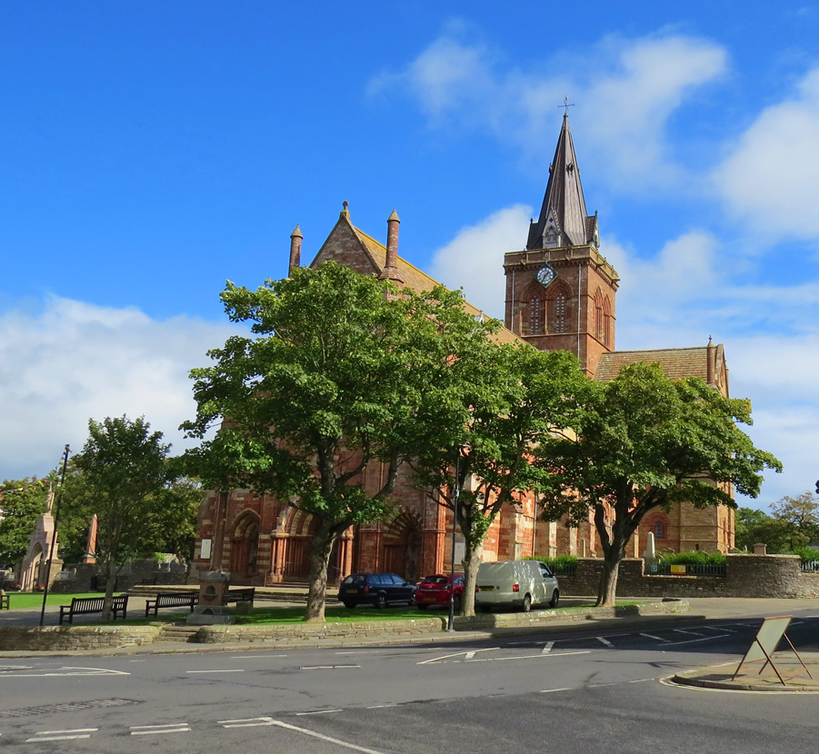
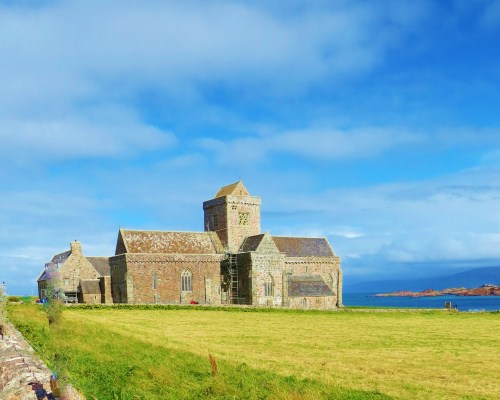
St. Magnus Cathedral
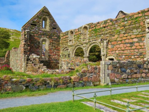
St Magnus Cathedral, also known as ‘The Light in the North’, is the most northerly in the U.K. was founded in 1137 by the Viking Earl Rognvald in honour of his sainted uncle, Magnus. The cathedral is now owned by the people of Orkney and is open to visitors, as are the nearby remains of the Bishop’s Palace, which was built at the same time as the cathedral, and the adjacent Earl’s Palace.

Round tower of Bishop’s Palace
Ruins of Earl’s Palace
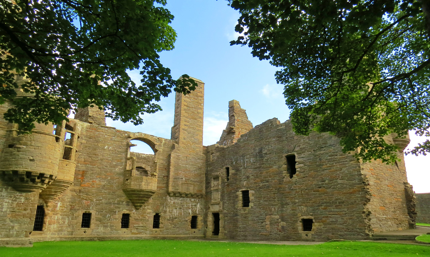
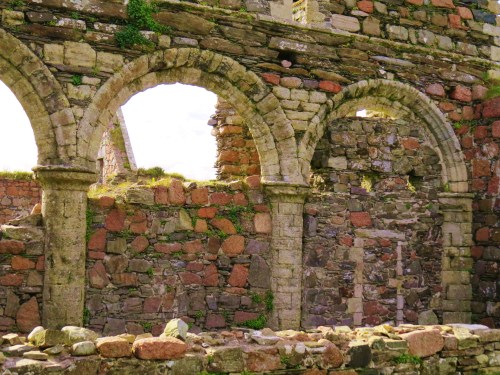
Construction on the Renaissance style Earl’s Palace, built by Patrick Stewart, Earl of Orkney using forced labour, began in 1607. Patrick is reputed to be ‘one of the most tyrannical noblemen in Scottish history’. He acquired the land by executing the rightful owner. It became the property of the Crown in 1688. In the 18th century it was left to fall into ruin.
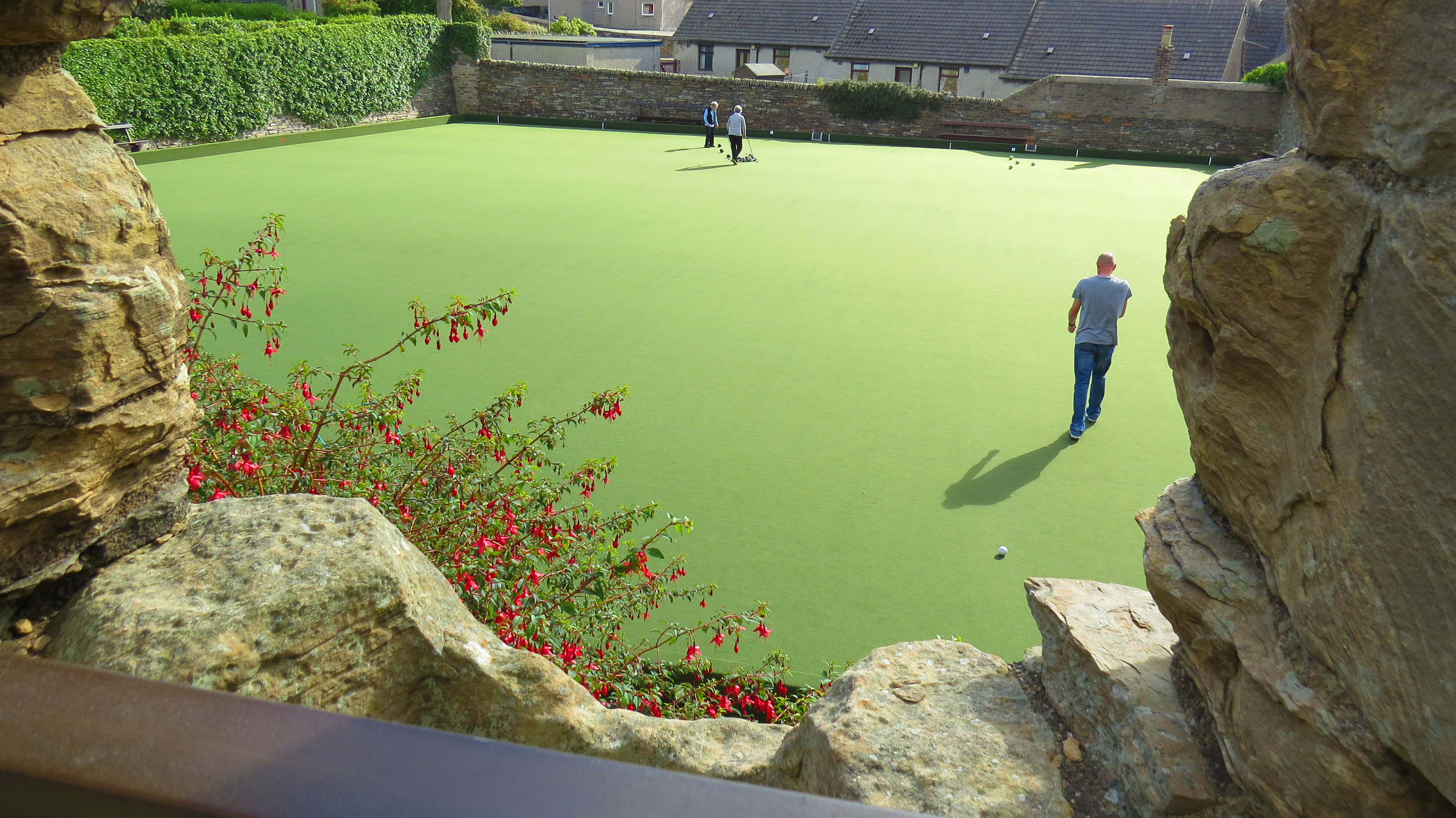
Bowling green from Earl’s Palace window
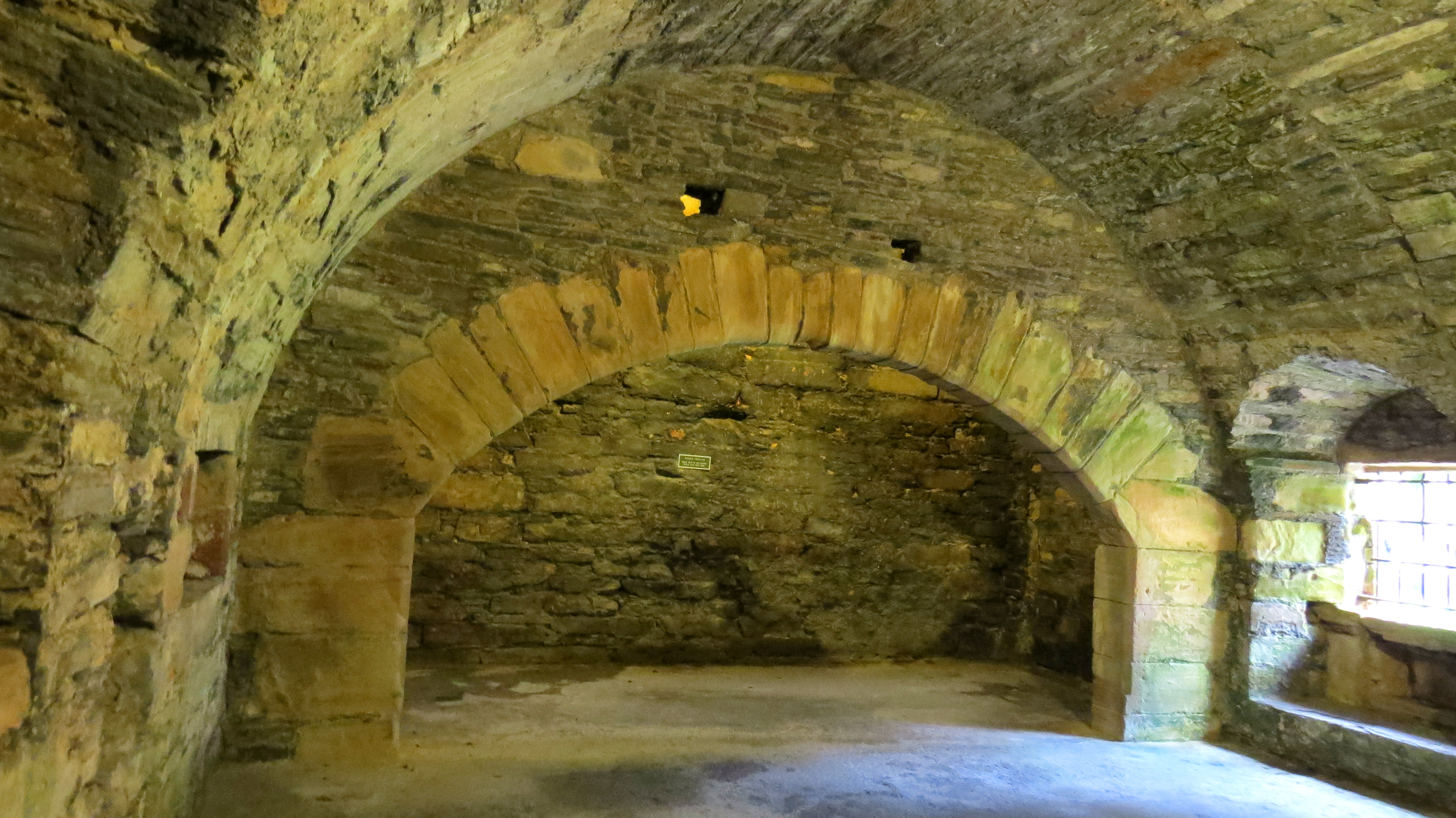
Fireplace in kitchen of Earl’s Palace
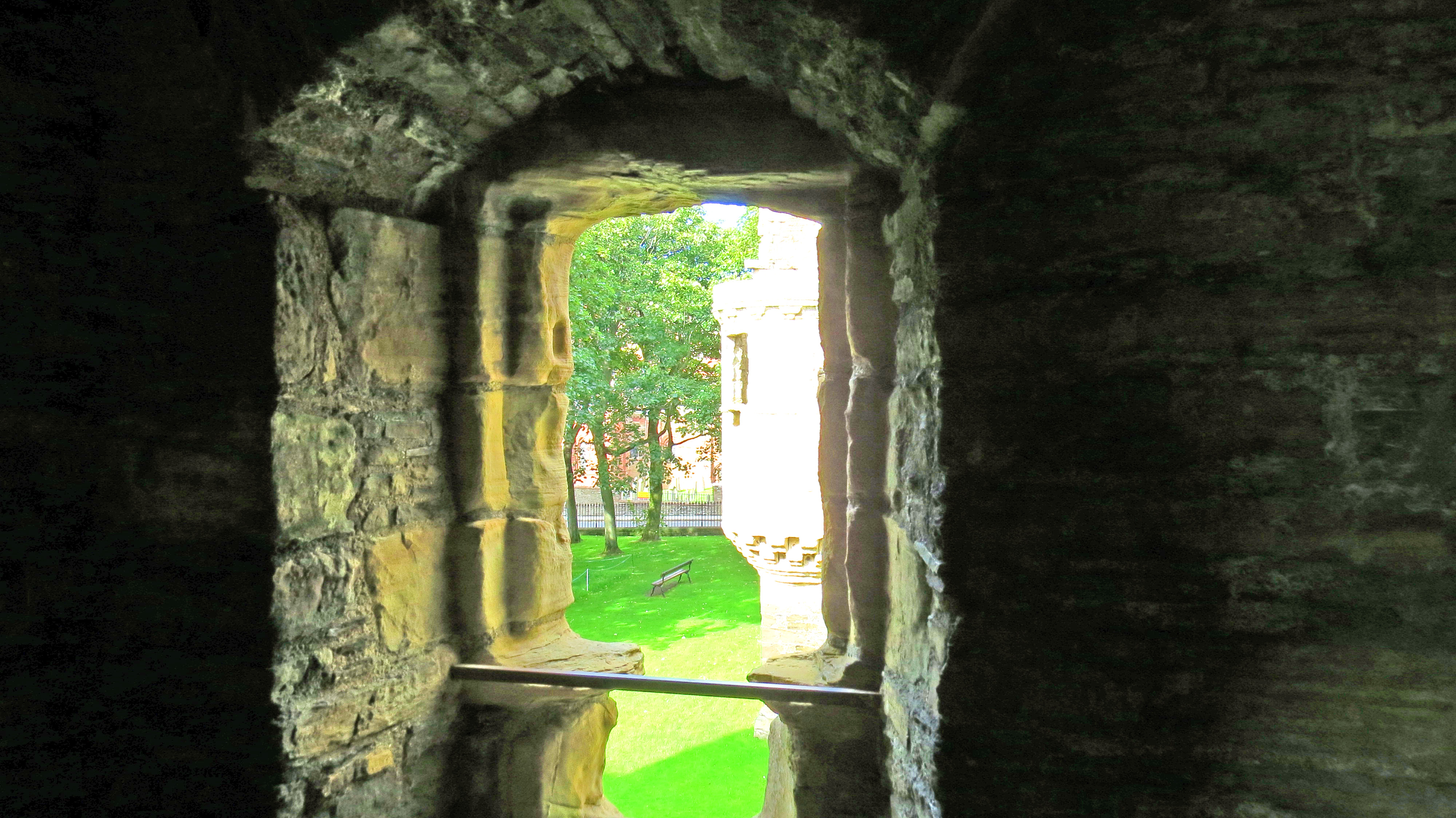
View from window of Earl’s Palace
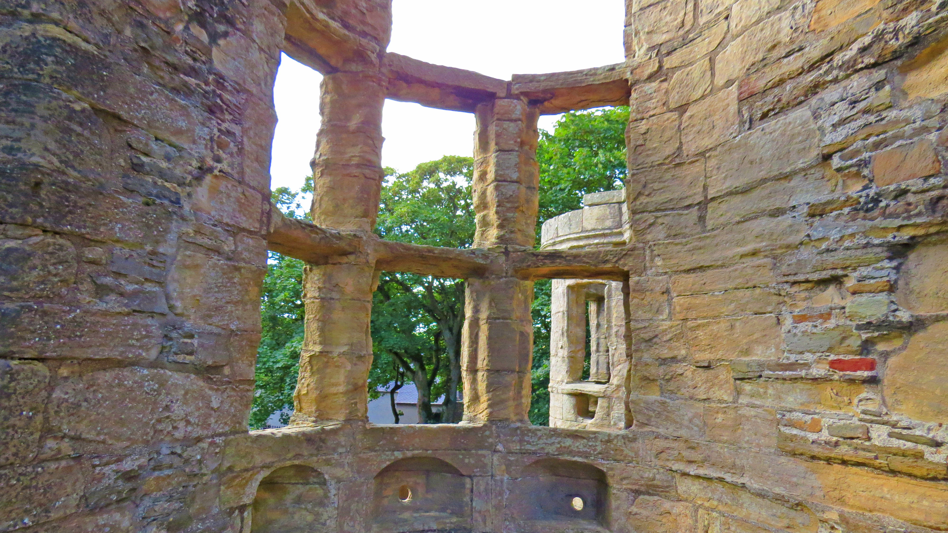
Inside a round turret in Earl’s Palace
Kirkwall Castle, built in the 14th century , neighboured the cathedral. It was deliberately destroyed in 1614 on orders from Scotland’s Privy Council after a siege to unseat Robert Stewart, the notorious Earl Patrick’s son, who seized it on behalf of his imprisoned father. A wall plaque marks the place where it stood on what is now Castle Street close to this downtown photo.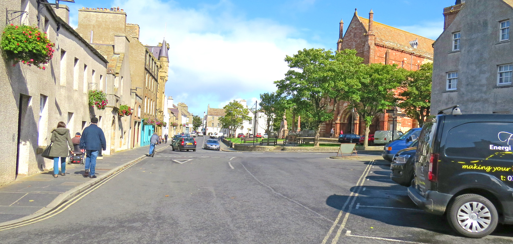
Downtown Kirkwall
Westray
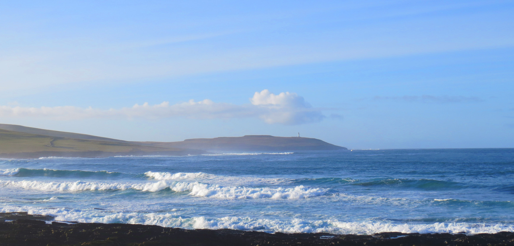
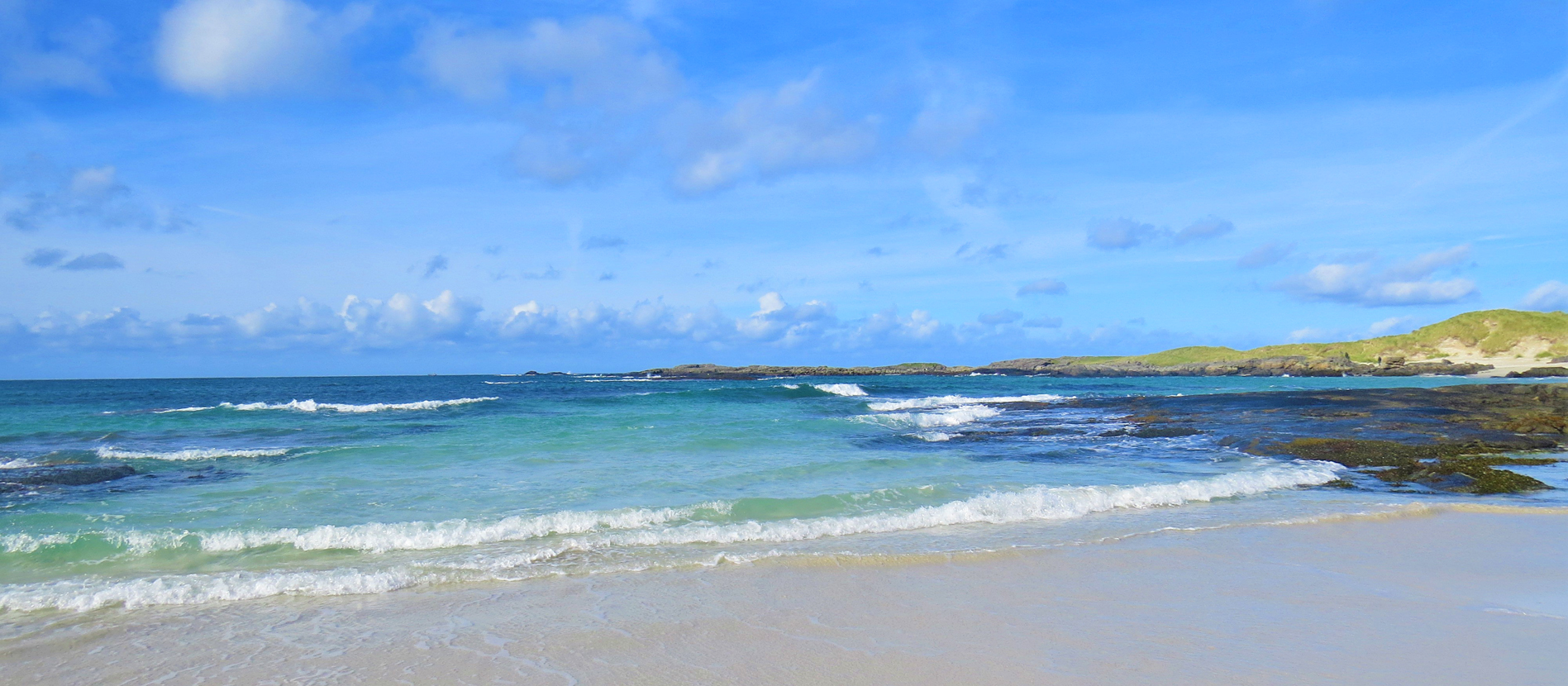
Surf at Westray
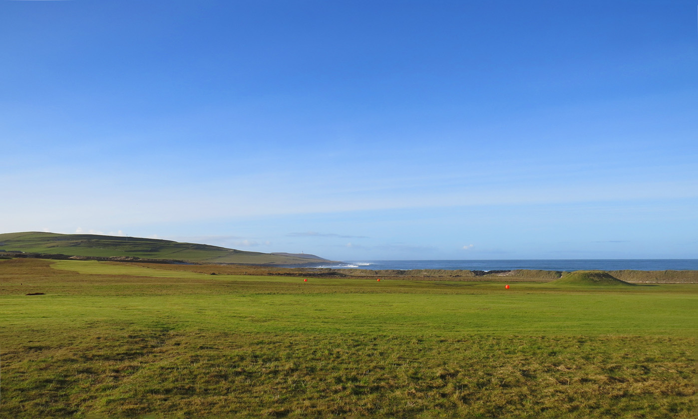
Westray Golf Course
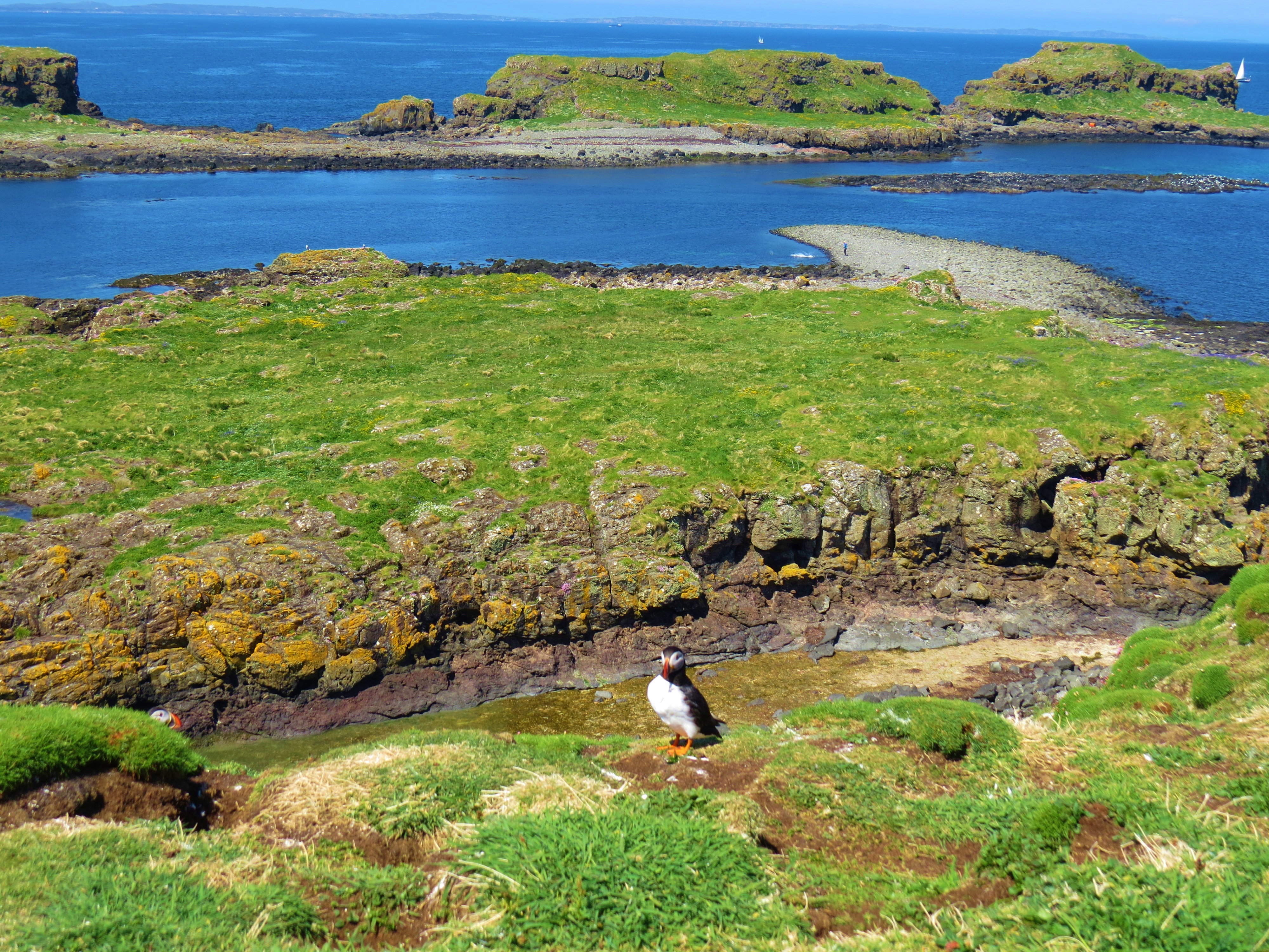
It is said ‘the veil is very thin’ on the Orkney islands and more so on the farther north outlying isles. I found this to be true on Westray, almost the most northerly. So much so, I, regretfully cut short my planned week stay and decided to return when there were more people around. It was off season when I was there and the property that housed me was deserted.
Where to stay:
There is a wide range of guest houses, self catering cottages and hotels on Mainland and throughout the other Orkney islands.
How to get there:
By air from Glasgow to Kirkwall
By NorthLink Ferries from Scarsdale to Stromness.
By Pentland Firth Ferries from Land’s End to Ronaldsay
From Aberdeen to Kirkwall by air or ferry.
(Any errors on above information are my own)
External links used as sources for most of the facts quoted in the above text. ( A few pieces of information were provided by local Orcadians).
https://www.visitorkney.com/things/history
http://www.hoyorkney>attractions>Hoy History
http://www.discoverbritainmag.com/discover_the_ancient_island_history_of_orkney_1_3931093
https://en.wikipedia.org/wiki/Earl%275_Palace_Kirkwall


