Part 2
Rannoch Moor and Glencoe
One last look at Loch Lomond

Having left Loch Lomond behind, I turned my sights north to pick up parts of the West Highland Way. Unlike some devotees of that 96 mile hike, I am not averse to straying from the path to check out other natural wonders in the area. Nor, as stated in Part One, am I able to tackle the full length of The Way. Instead, I use means other than ‘Shanks’s Pony’ to get from A to B. On loch Lomond, I travelled mostly by boat with a little help from my local bus service. And so, on to Rannoch Moor.
Rannoch Moor
No longer able to cruise on boats to my chosen destinations, I now rely on City Link buses to get me to the parts of the West Highland Way I want to explore. On leaving Balloch and travelling north, I passed through Crianlarach, Tyndrum and Bridge of Orchy where the West Highland Way mostly shadows the route taken by the bus. Somewhere north of Glen Falloch, in a valley at the edge of the Trossachs, the trail takes its own path up the 1,500 ft. incline to Rannoch Moor. The photo above was taken from the bus window on the moor.

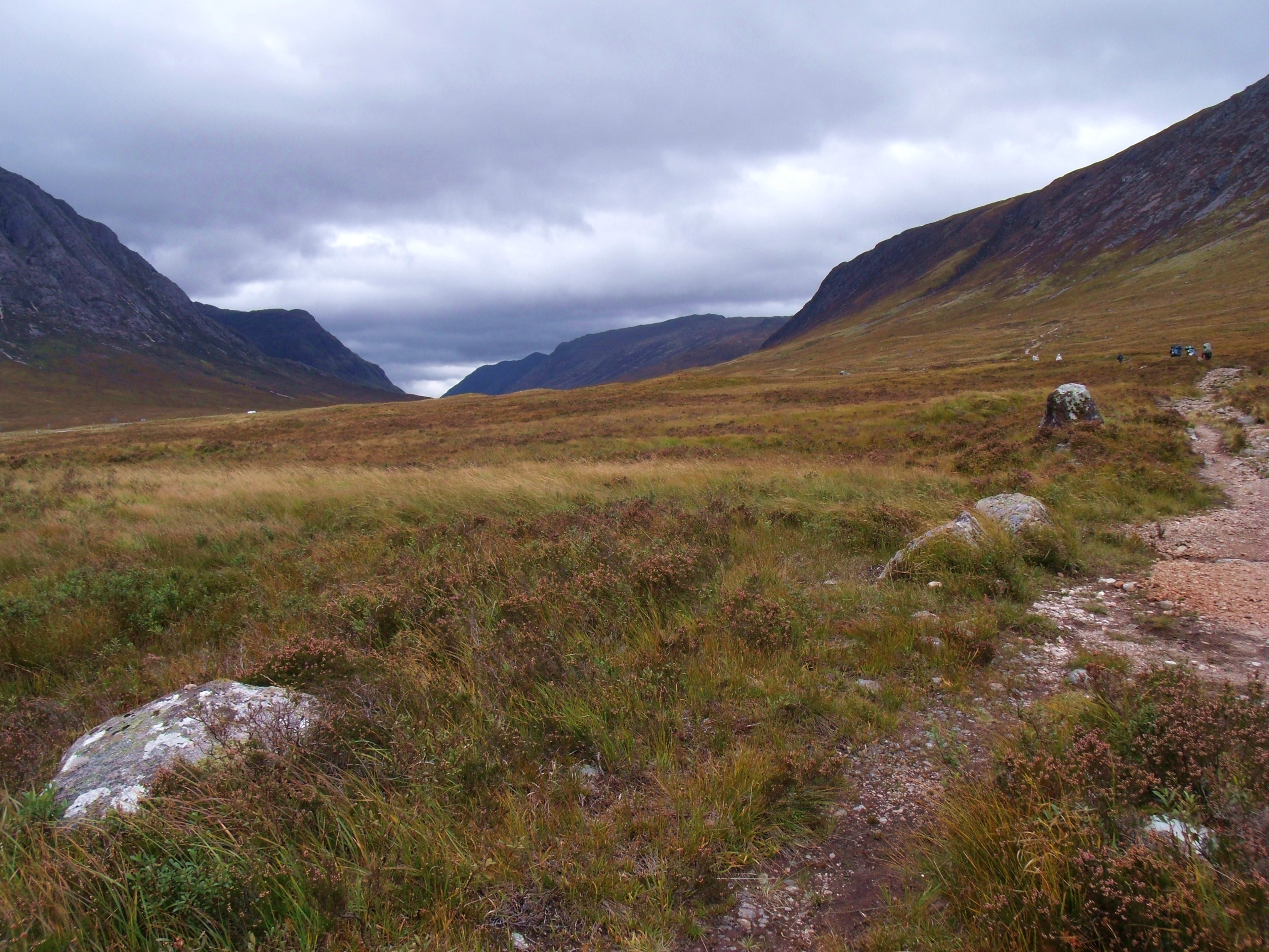
Rannoch Moor is a plateau, 1,200 ft above sea level. It covers 12,800 acres and is mostly peat and bog, with many beautiful streams and lochans (small lochs). It is wedge shaped and surrounded my mountains, the mountainous area to the north being Glencoe, with mountains around 2,000 ft. To the south east, the mountains are around 3,000 feet. It’s unspoiled, unique beauty is something I hope to document more fully very soon, adding some of the rich history woven into its past.


Glencoe is an area of many mountains and glens. The most beautiful glen is thought to be Glen Etive. Pyramid shaped Buachaille Etive Mor (Big Shepherd of Glen Etive) dominates the Glencoe area. Across Glen Etive from the Big Shepherd is Buachaille Etive Bheag(Little Shepherd Of The Glen).

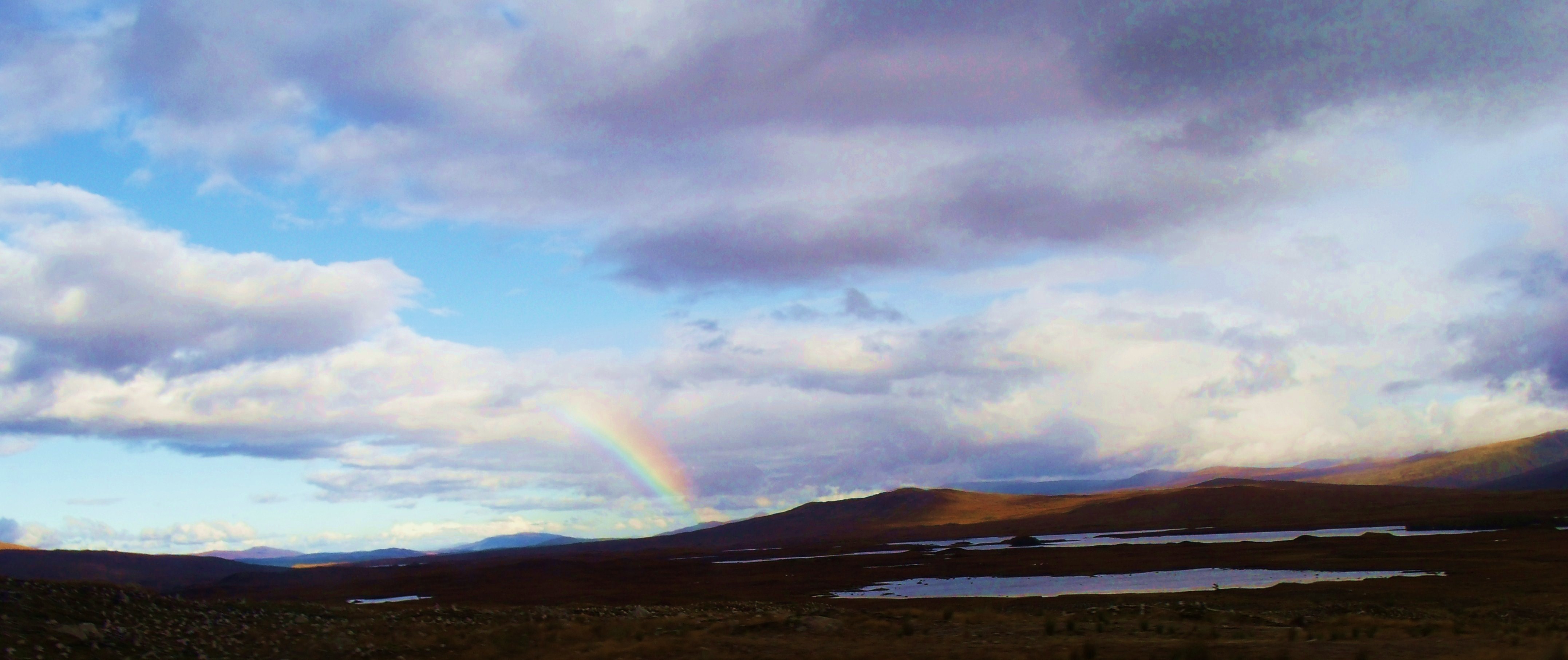
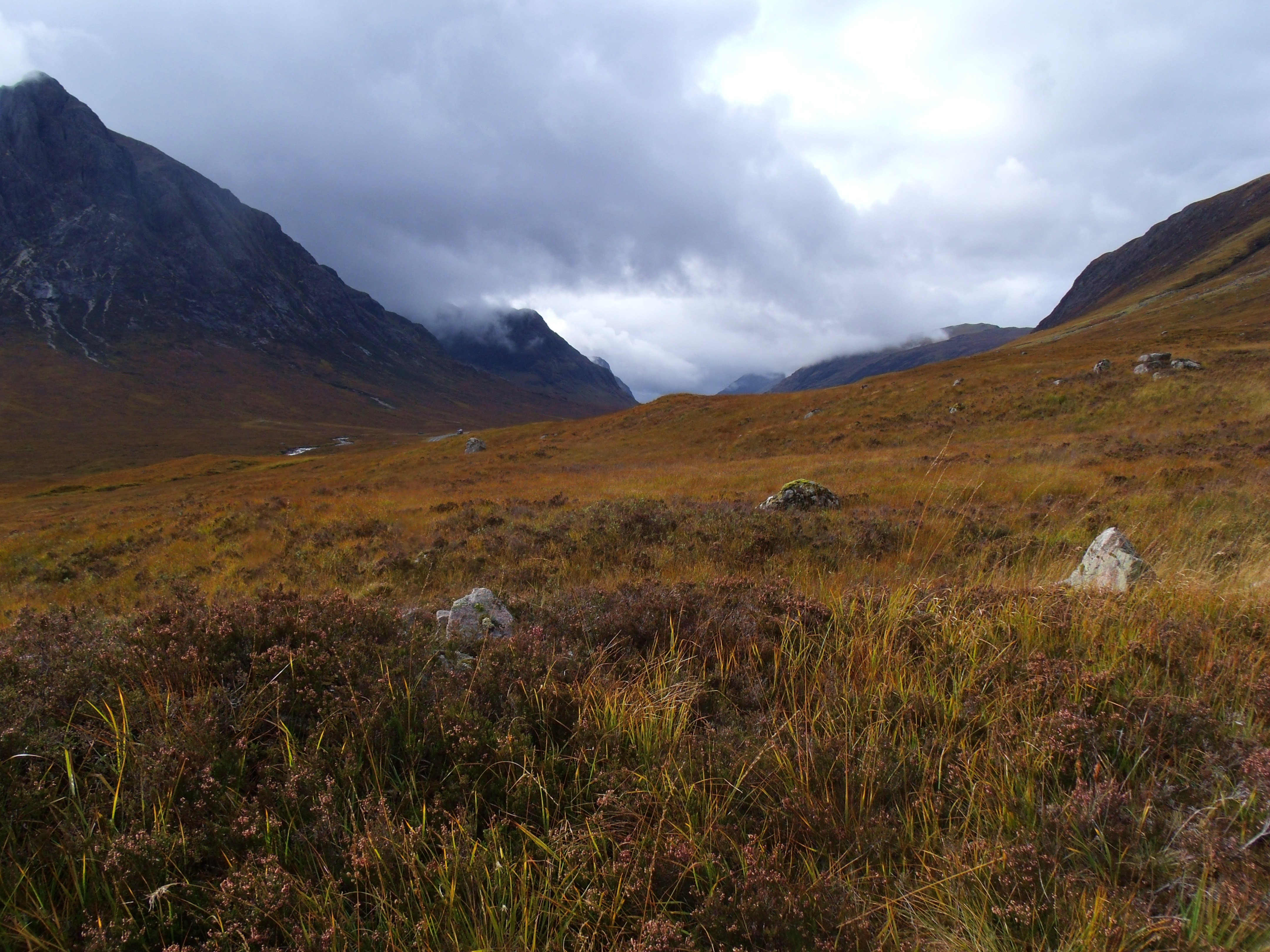
For climbers and hikers in the area, the rapidly changing weather can be a hazard. On this occasion, I was caught in a fast moving storm.
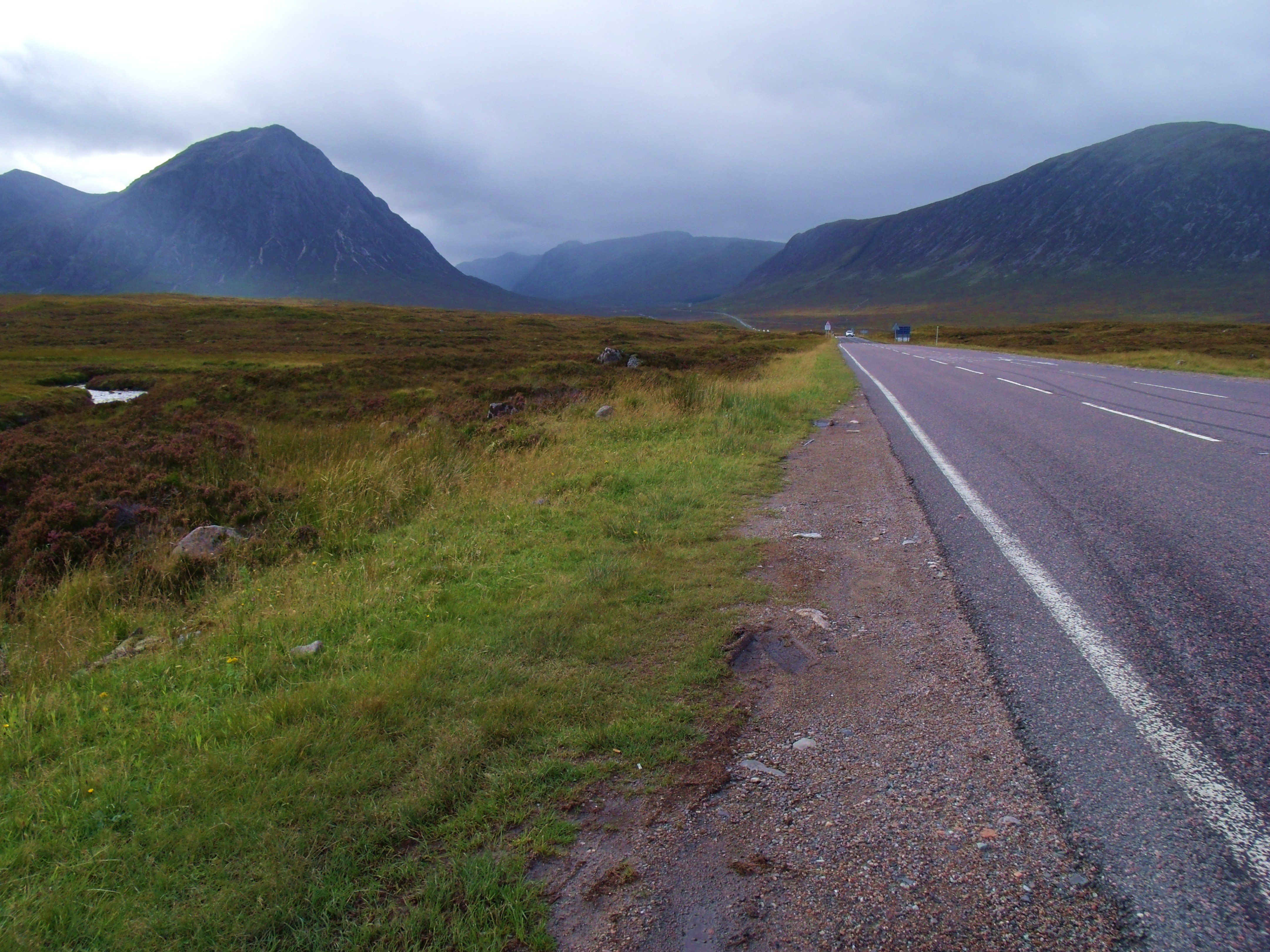
- A82 heading into Glencoe
Above is the bus stop near White Corries Ski Centre where I alighted. I stayed only a short while before catching the bus back on it’s way from Fort William. A week later I returned, staying for two nights at the Kings House Hotel, on the West Highland Way, a mile or so from the bus stop.
- The Black Corries and West Highland Way leading to The Kings House

- The Kings House


- Reception

- Sunrise over Buachaille Etive Mor

- Sunrise on Buachaille Etive Mor from a window in The Kings House
On day one of my stay, I braved the morning to check out my immediate surroundings.


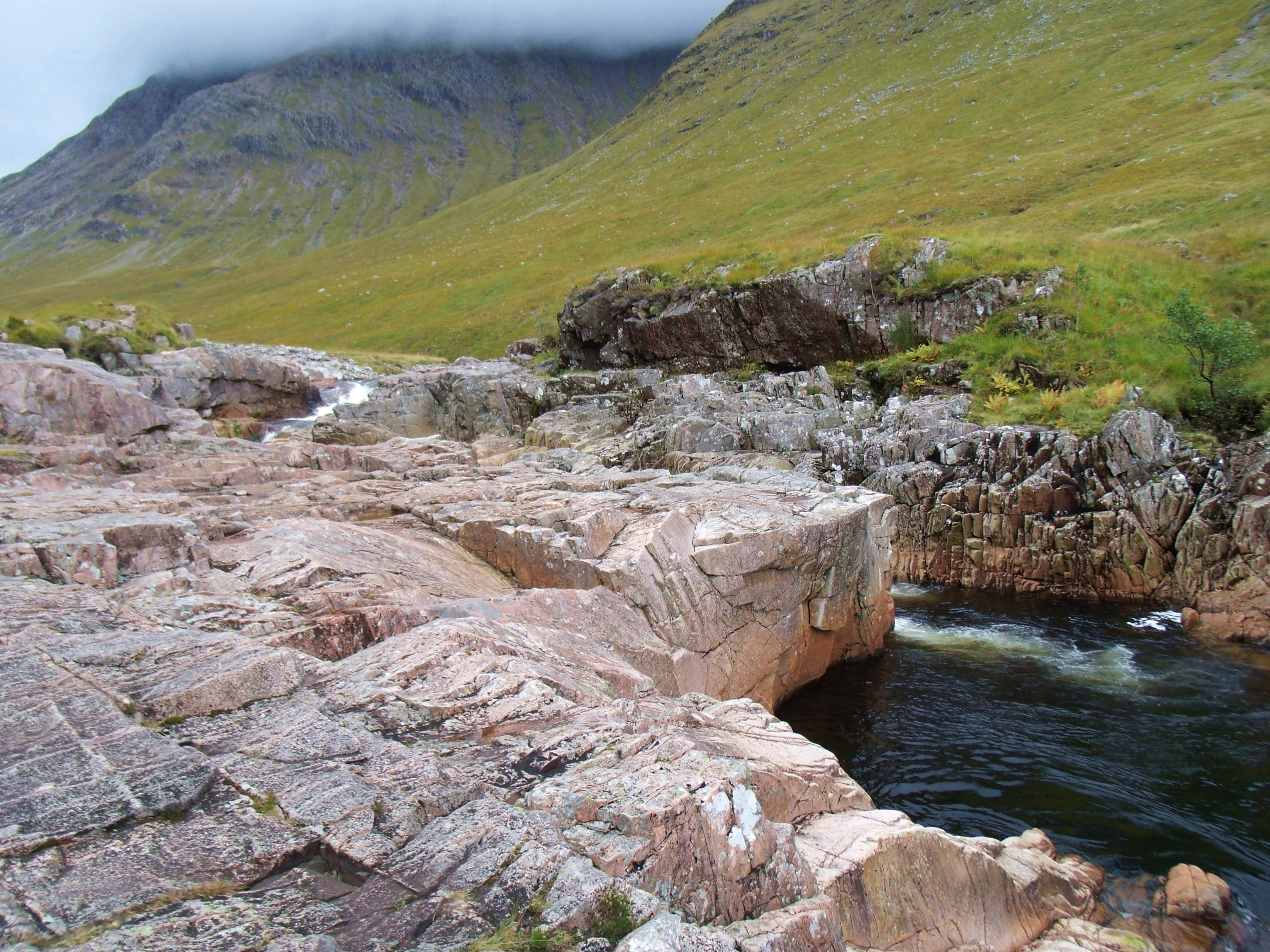
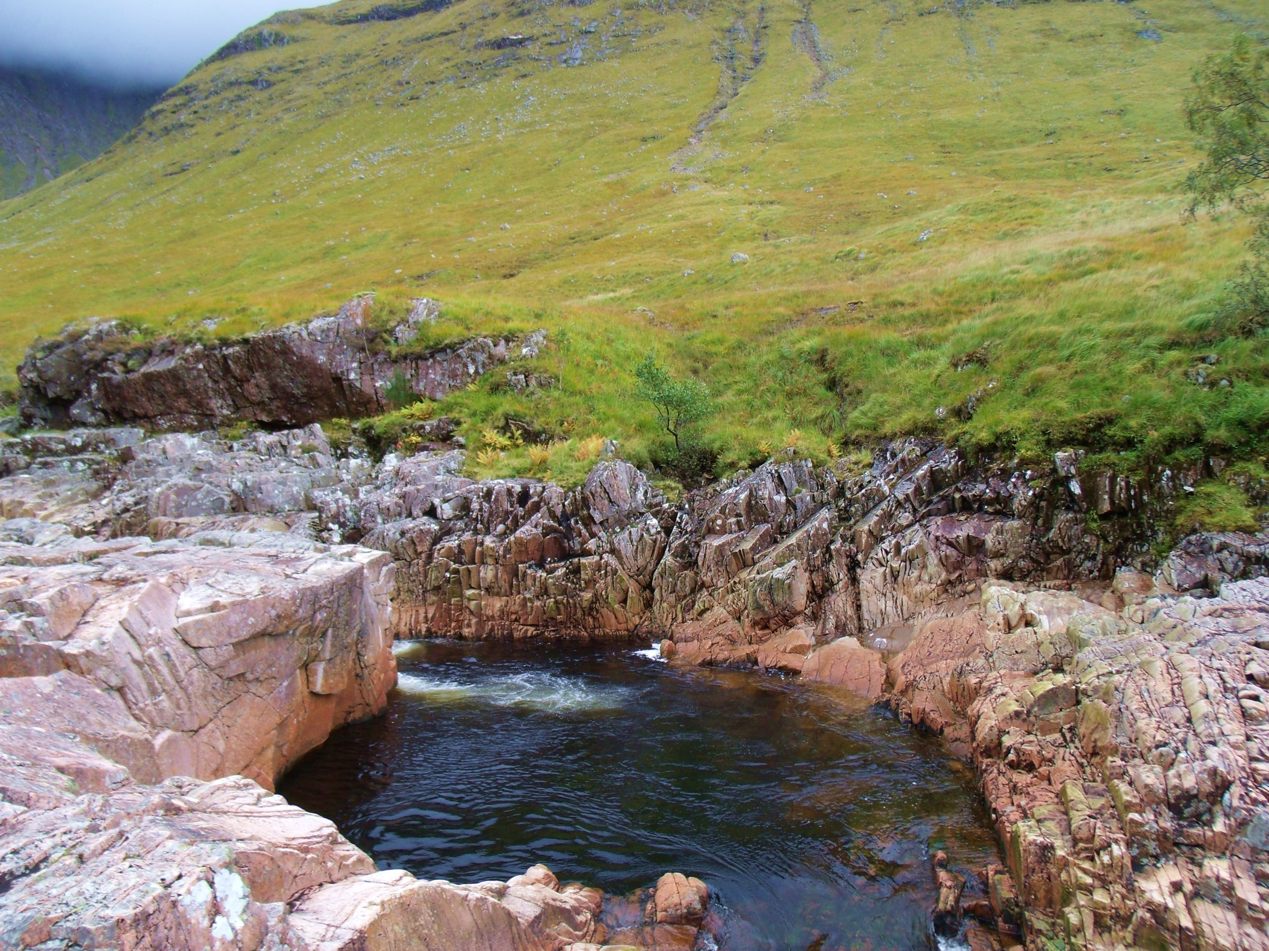
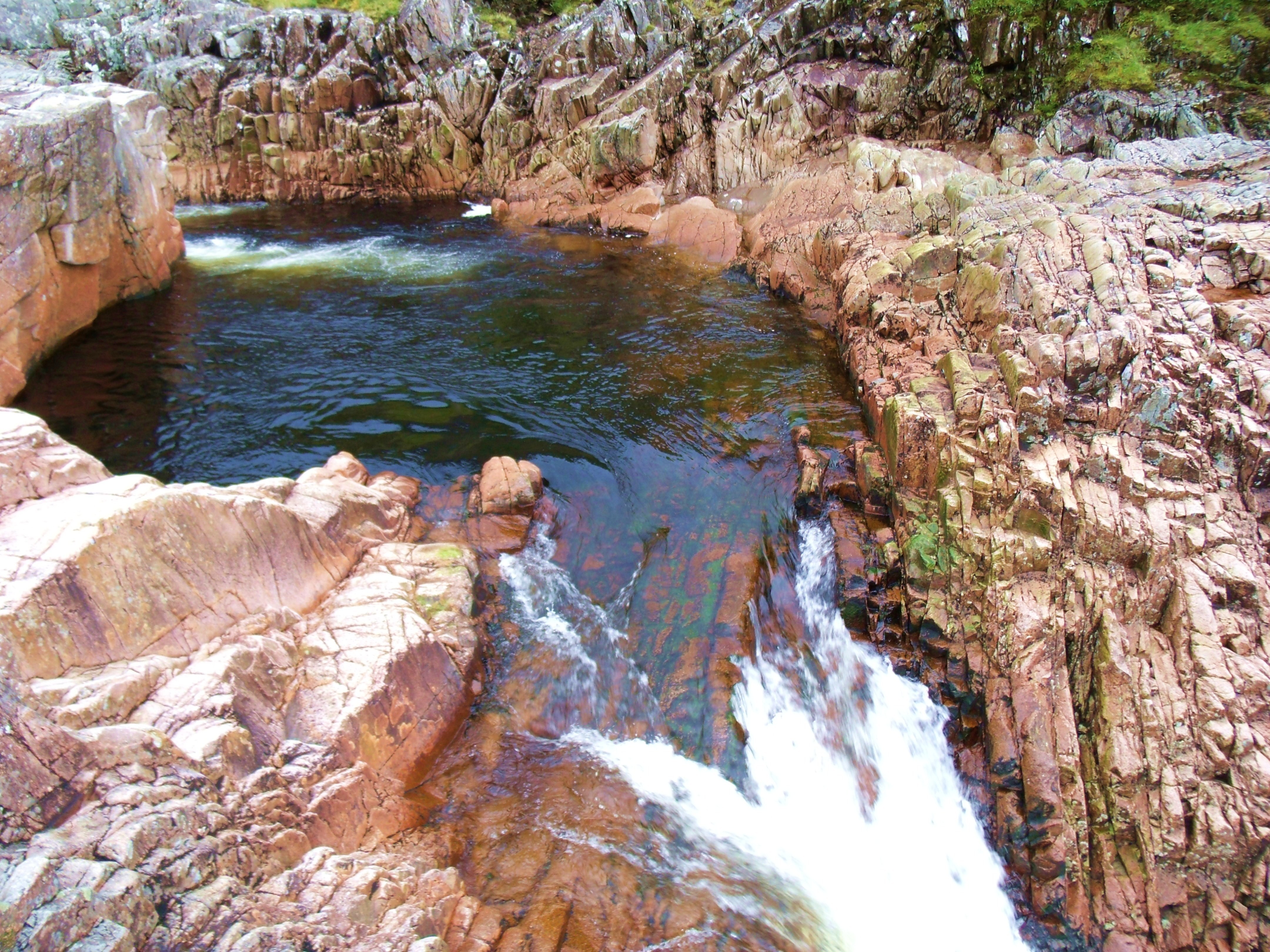
Detour to Beer Bottle Pool, River Etive
Before setting out for a hike north on the West Highland Way, I took the time to check out a beauty spot litttle known outside the local area. Beer Bottle Pool in the River Etive, lies along the road leading to Glen Etive. It is hidden from the road. Its distinctive geological formations make it a must see.


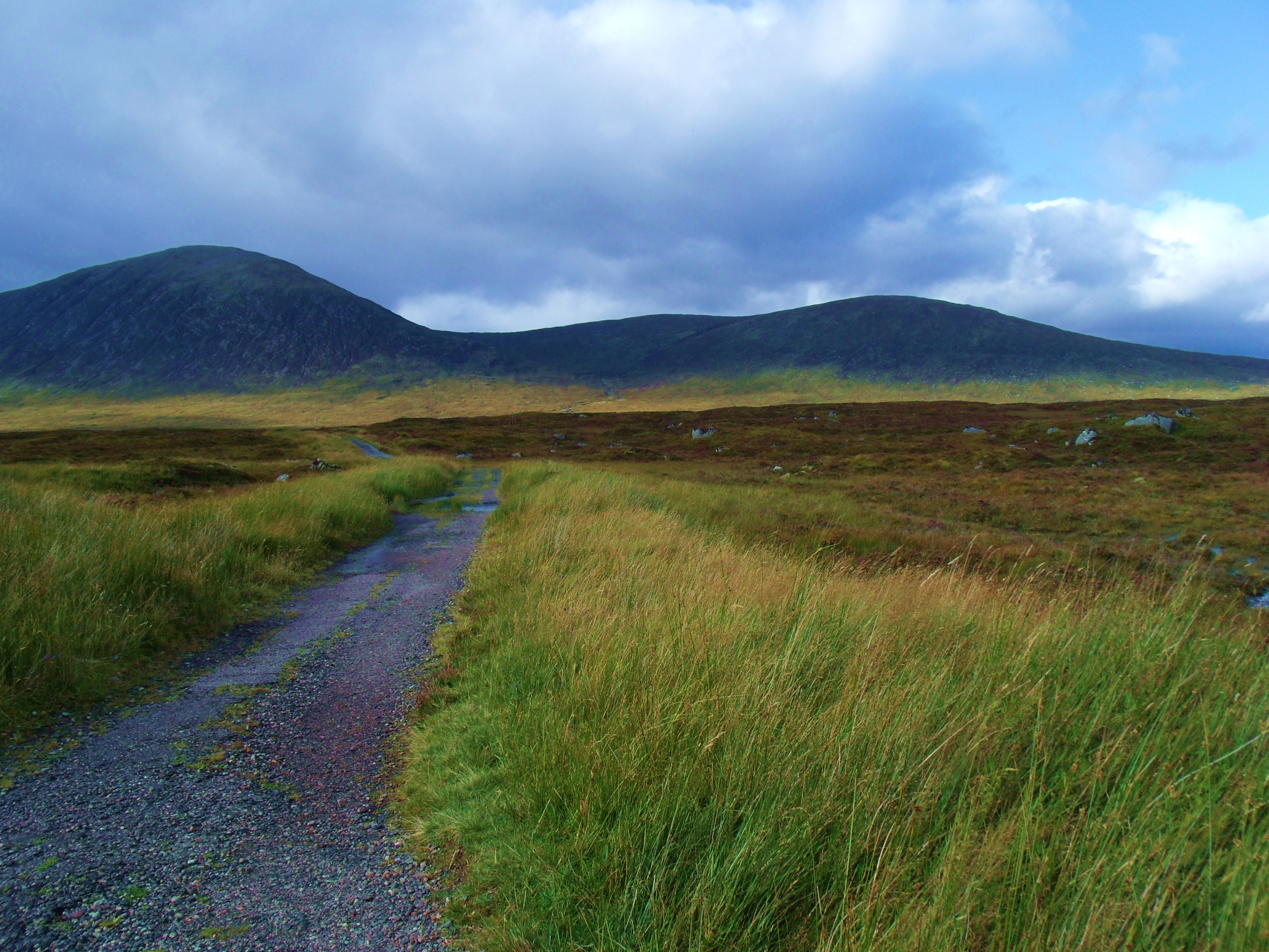
Hike along the West Highland Way towards The Devil’s Staircase and Lochleven.
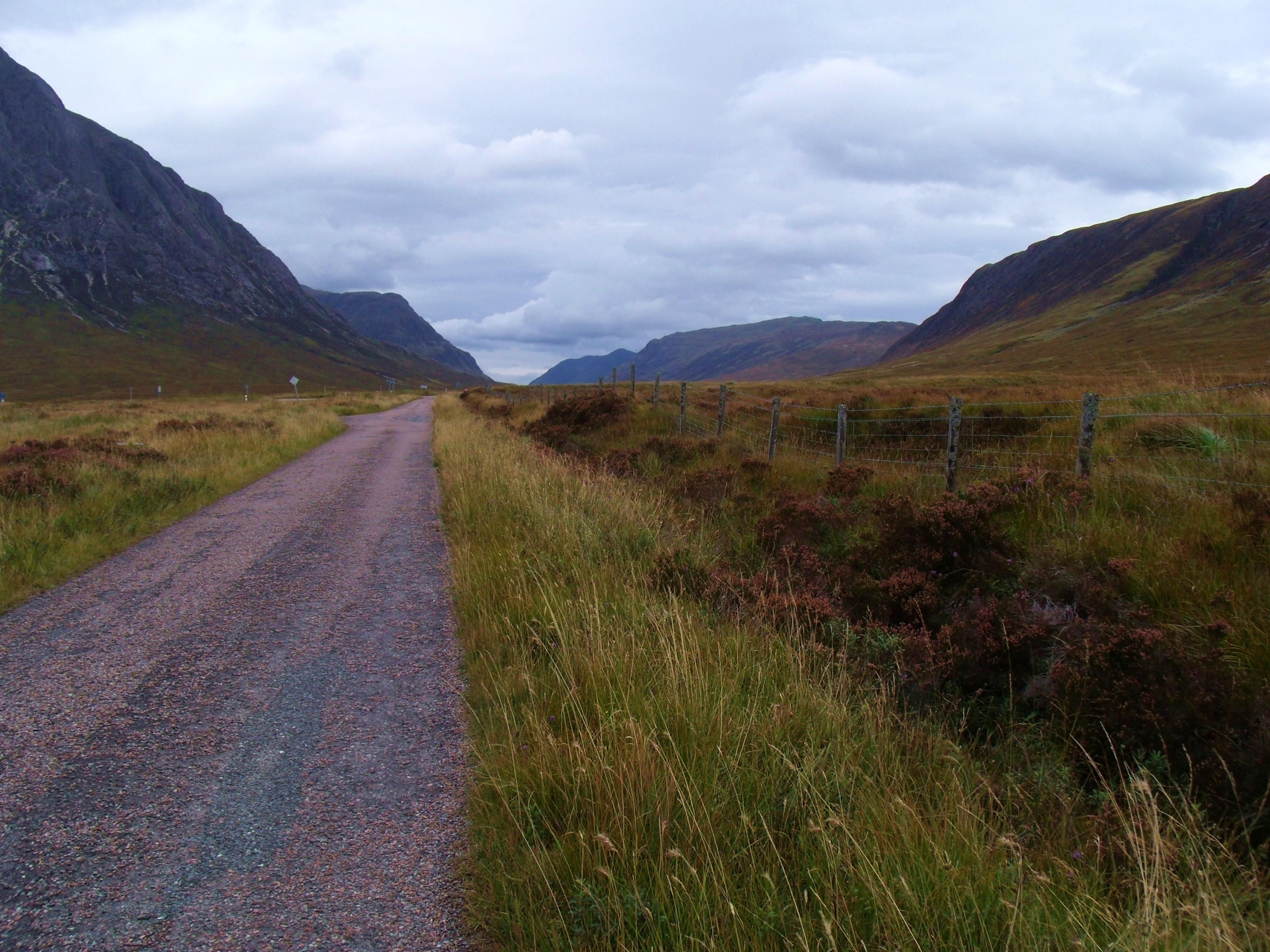
- West Highland Way Using Old Military Road


- Long And Winding Road


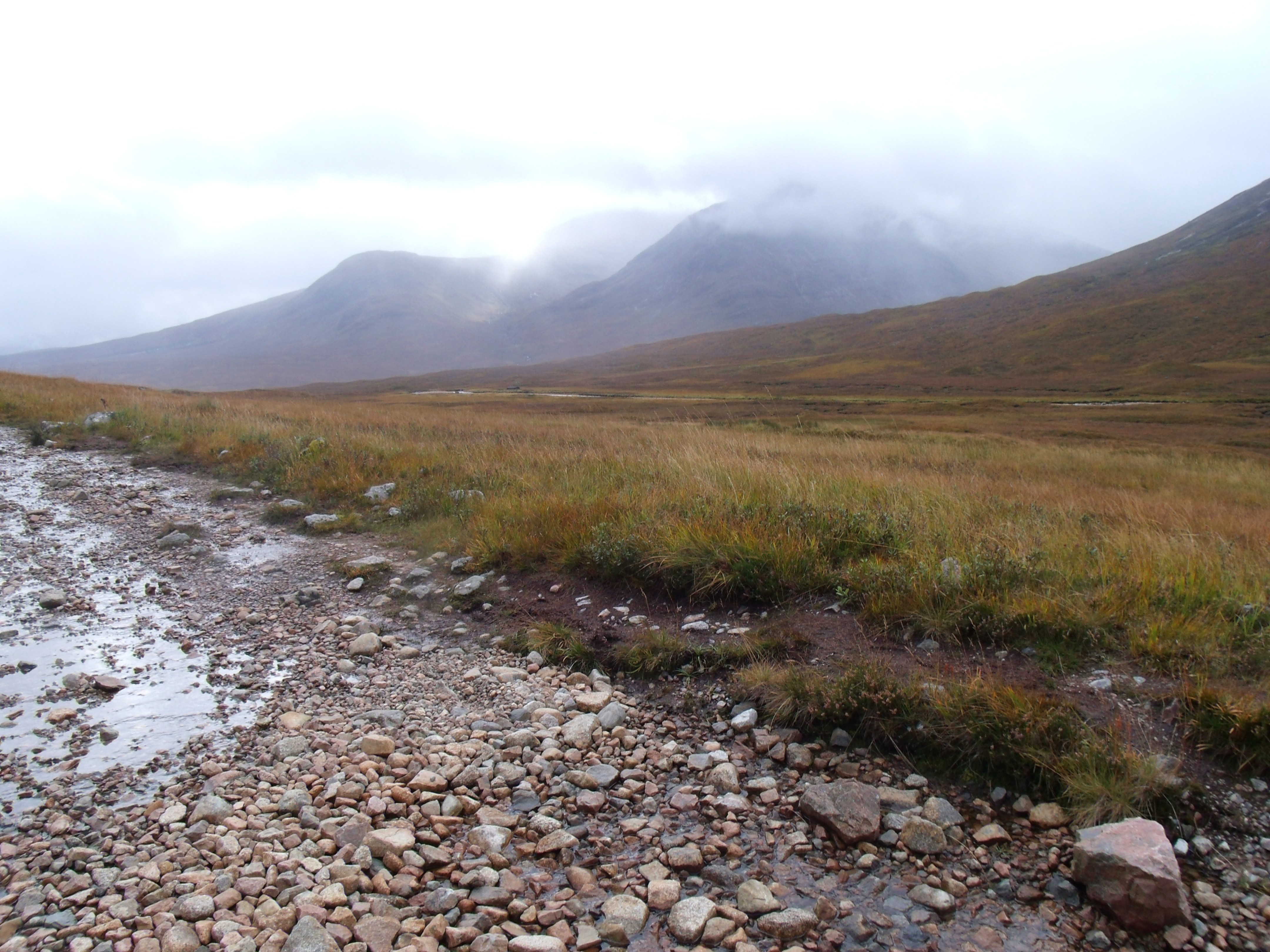
With rain approaching and the wind picking up I retraced my steps to The Kings House. It turned out to be only a heavy shower so I was able to document some of the trek back.


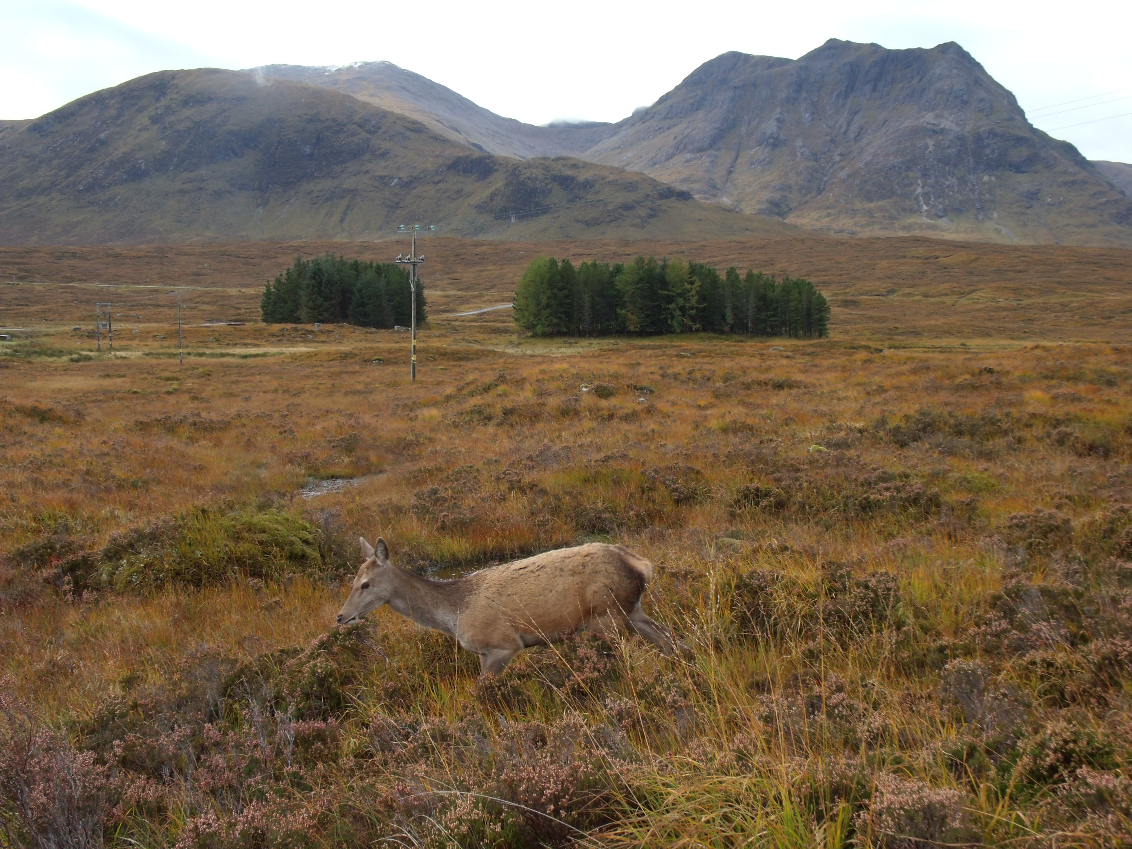
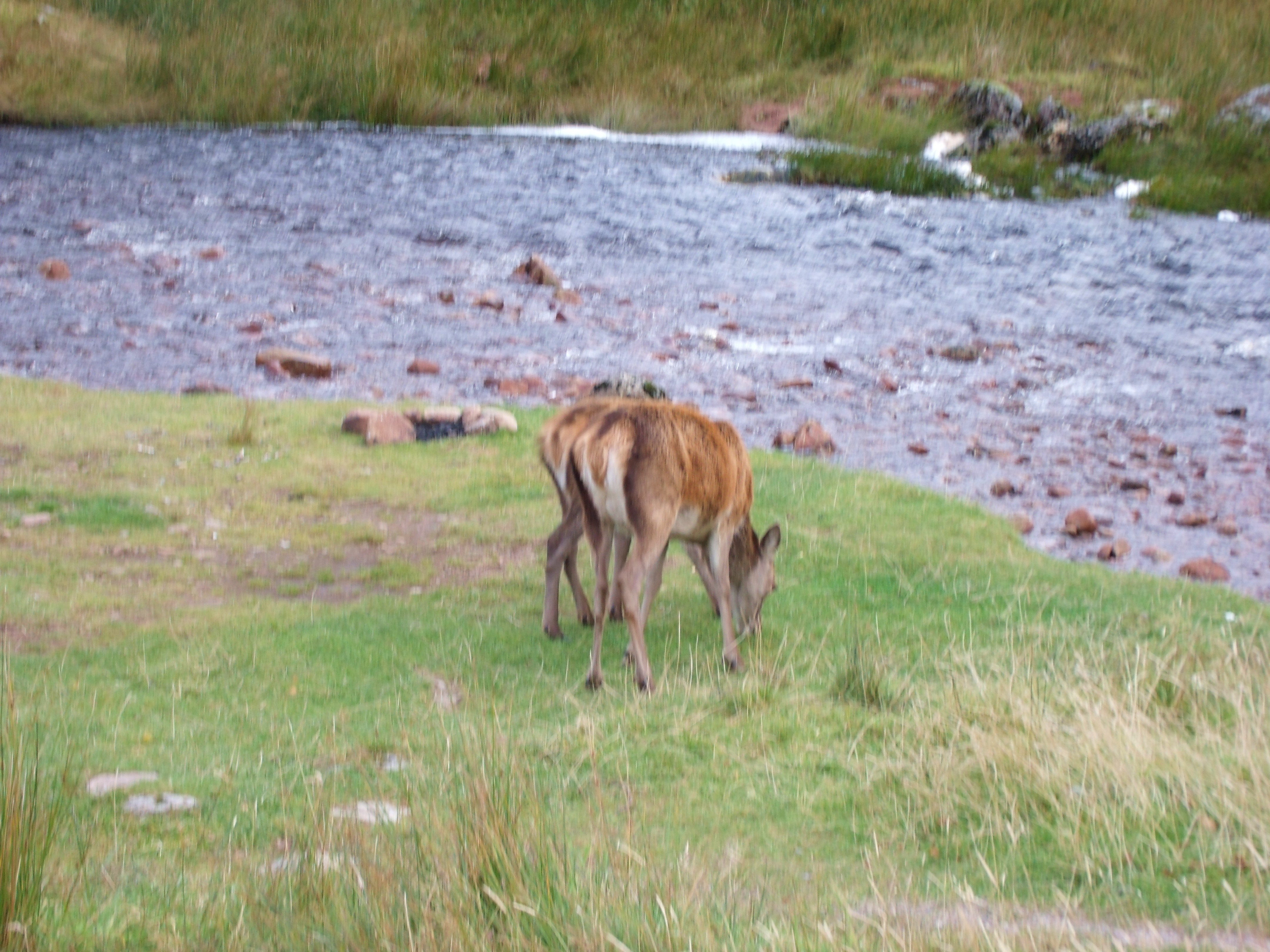
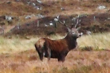
- Stag
- This fine fellow was standing right in my path but, unfortunately, I had put my camera away to protect it from the rain. By the time I got it out, he had bounded off.
-
Stag Up Close 
Waiting for the Mr. 
Camouflage 
Deer at Kings House And so that part of my journey ended and will continue, on and off the West Highland Way to Fort William